Curated by PaddleWays
RouteClass II
- Distance
- 9.1 mi
- Paddle time
- ~3 hrs
- Put-in → take-out
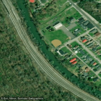
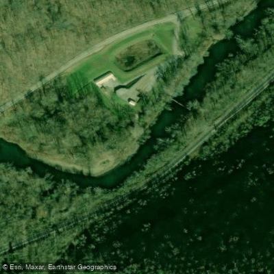
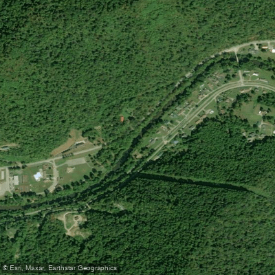
- Whitesville Boat Ramp → Orgas Boat Ramp
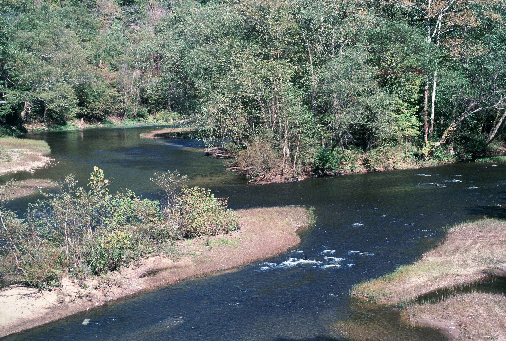
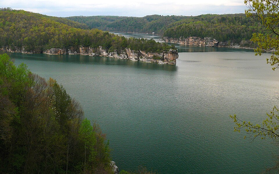
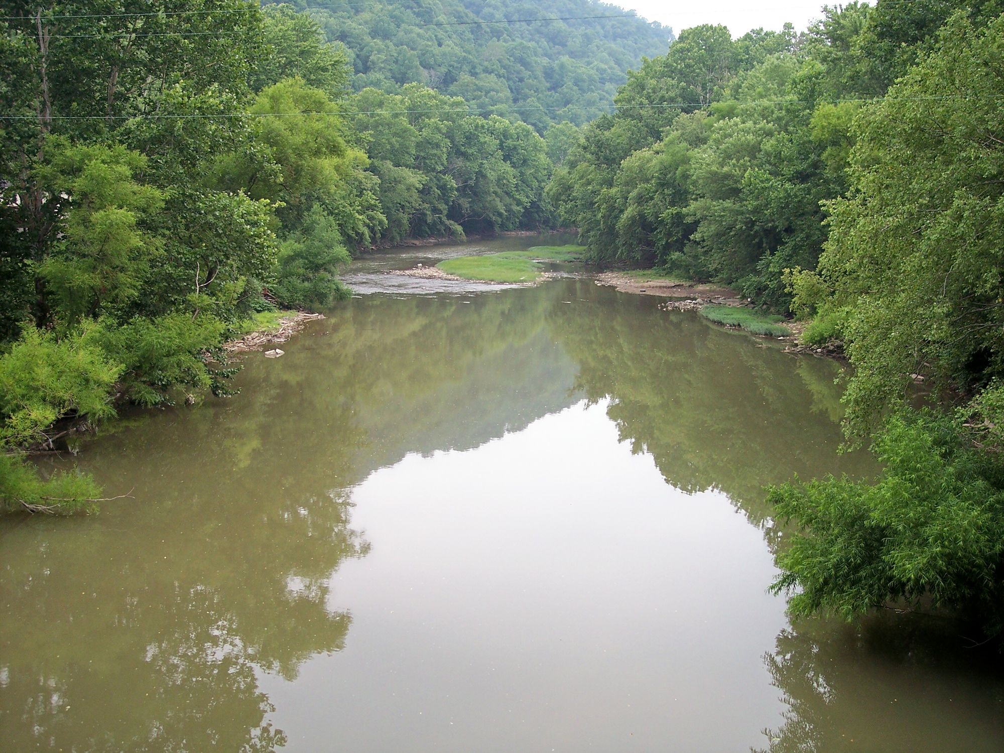
The Big Coal River is a scenic waterway flowing through the heart of southern West Virginia's coal country. This river system, comprising the Big Coal, Little Coal, and main Coal Rivers, offers paddlers a diverse range of experiences from peaceful flatwater floats to more challenging whitewater runs.
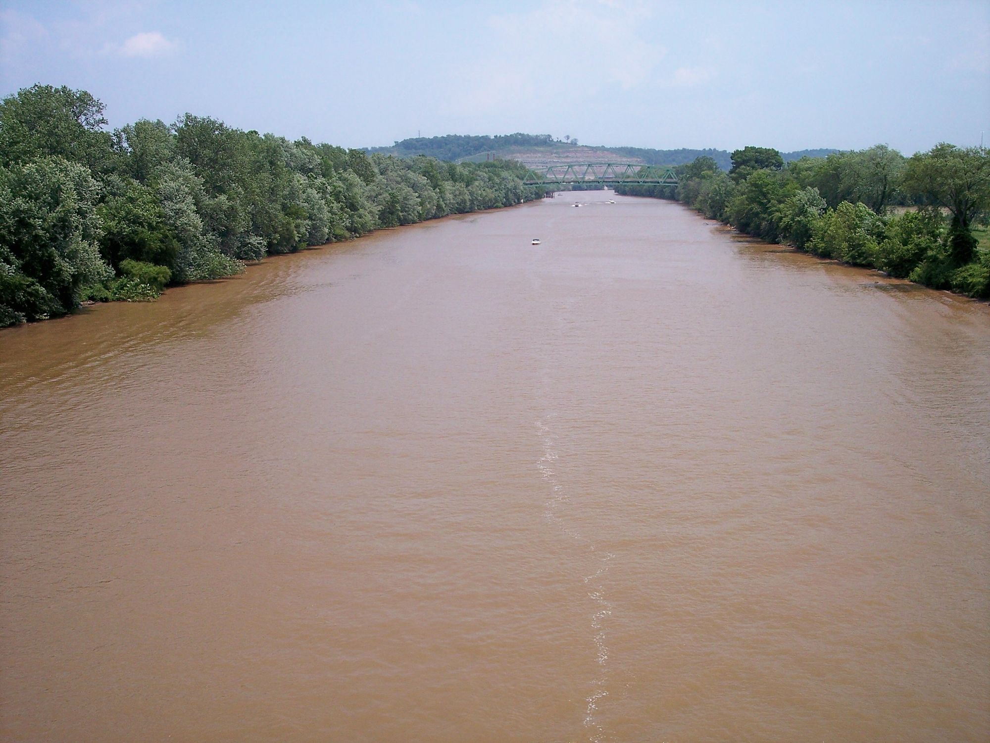
The Big Coal River begins near Whitesville and flows northward for about 40 miles until it joins with the Little Coal River at Alum Creek to form the main Coal River. The entire system provides approximately 88 miles of paddling opportunities, broken into distinct sections ranging from 6 to 12 miles - ideal distances for day trips.
Difficulty levels vary throughout the system. The upper sections of the Big Coal and its tributaries, particularly the Marsh Fork, offer more challenging Class II-IV whitewater suitable for experienced paddlers. The Clear Fork section near Whitesville provides a mix of Class I-III rapids. As the river progresses northward, it transitions to mostly flatwater and Class I-II rapids, making the lower sections ideal for beginners and families.
The river is generally paddleable year-round, but spring and early summer typically offer the best water levels. Late summer and fall can see lower water levels, requiring more careful navigation around shallow areas and potential strainers.
Flowing through the Appalachian Mountains, the Big Coal River corridor is home to diverse flora and fauna. Paddlers may spot various bird species, including herons and kingfishers, as well as occasional deer or black bears along the forested banks.
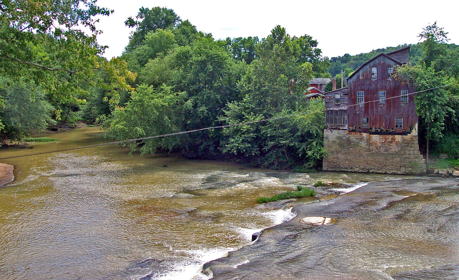
Notable landmarks include the historic lock and dam sites, remnants of the river's industrial past. The Upper Falls dam near Tornado offers a picturesque view, while Drawdy Falls at Peytona provides a glimpse into the river's history of transporting coal.
Key access points include Whitesville, Orgas, Racine (home to John Slack Park), Alum Creek, and St. Albans. These communities, along with others like Madison and Tornado, serve as gateways to different sections of the river system.
The Coal River holds significant cultural and historical importance, deeply intertwined with West Virginia's coal mining heritage. Today, it represents a transition from industrial use to recreational enjoyment, symbolizing the region's evolving economy and identity.
Safety considerations include being prepared for strainers, particularly in the upper sections, and checking water levels before trips. The Coal River Group (www.coalrivergroup.com) is an excellent resource for current conditions and trip planning.
For those seeking a multi-day adventure, paddling the entire length of the Big Coal from Whitesville to its confluence with the Kanawha River in St. Albans offers a comprehensive journey through the region's diverse landscapes and communities.
The Big Coal River and its associated water trail system provide a unique opportunity to explore southern West Virginia's natural beauty and rich history, offering something for paddlers of all skill levels and interests.
Curated routes
Hand-picked by the PaddleWays team, with put-ins, take-outs, paddle times and the hazards along the way.
RouteClass II
RouteClass II
RouteClass I–II
Hazards
No paddler has reported a hazard here yet, so these are the dams, falls and big rapids on our map. Hazards change with flows and storms, so check them before you launch.
From the community
Nobody has shared a trip on Big Coal River yet. Paddle it, then tell the next paddler how it went.
See exactly where the public can get on and off the river. Launch points and boat ramps are paired with PaddleWays' public land data so you know where you can legally land.
Public shoreline
0%of the river's shoreline is public
Most of the riverbank is private. Launch, land and camp only at public access points.
Flows, weather and a route-by-route verdict, so you know which stretch of the Big Coal River is worth paddling today.
Live flows, marked hazards and fresh trip reports from paddlers who were just on the water, all in one place.





Every user gets free access to launch points, boat ramps, and public property parcels.


Loading popular cities...
PaddleWays gives you everything you need to plan smarter, paddle better, and own every trip from first launch to takeout.