Curated by PaddleWays
RouteFlatwater
- Distance
- 3.4 mi
- Paddle time
- ~1.5 hrs
- Put-in & take-out
- Burnsville Dam Boat Ramp
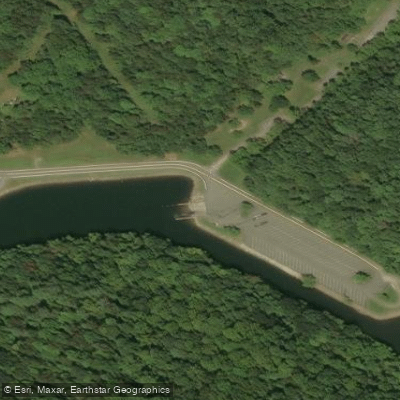
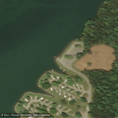
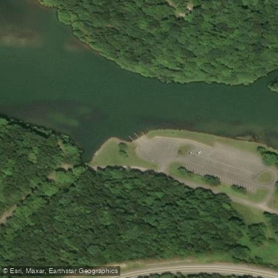
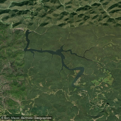
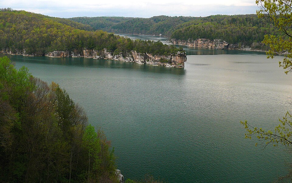
Burnsville Lake is a 968-acre reservoir located in central West Virginia, offering paddlers a scenic and tranquil experience. The lake features 30 miles of shoreline with numerous coves and a narrow shape, making it well-suited for canoeing and kayaking. Three public boat launch ramps provide access: Bulltown Boat Launch Ramp in the southeast, Bulltown South Boat Launch Ramp also in the southeast, and Rifle Run Boat Launch Ramp in the northwest. All ramps have paved parking.
The lake is surrounded by the 12,579-acre Burnsville Lake Wildlife Management Area, providing opportunities to observe local flora and fauna. Paddlers may encounter various fish species, including largemouth bass, crappie, bluegill, and muskie. The lake's forested shoreline and calm waters create an aesthetically pleasing paddling environment.
Spring and fall are particularly productive seasons for wildlife viewing and fishing. Dawn and dusk tend to be the best times for spotting wildlife and catching fish. Summer offers warm water temperatures ideal for extended paddling trips.
Facilities available to paddlers include a marina (Burnsville Docks), campgrounds, and picnic areas. The Riffle Run Campground, located near the lake, offers 60 campsites with amenities such as showers and laundry facilities.
When planning a trip, be aware that motorized boats also use the lake. Paddlers should exercise caution and be visible to other watercraft. As with all bodies of water, wearing a personal flotation device is essential for safety.
The lake's location in the foothills of the Allegheny Mountains provides a backdrop of rolling hills and forests, enhancing the paddling experience. With its diverse aquatic habitats and surrounding natural areas, Burnsville Lake offers paddlers a chance to explore a quintessential West Virginia landscape.
Curated routes
Hand-picked by the PaddleWays team, with put-ins, take-outs, paddle times and the hazards along the way.
RouteFlatwater
Hazards
No paddler has reported a hazard here yet, so these are the dams, falls and big rapids on our map. Hazards change with flows and storms, so check them before you launch.
From the community
Real trips from PaddleWays paddlers: which route they ran, how the water was, and what to watch for.
Loading trip reports
Keith G.
Burnsville Lake 9/8/2026
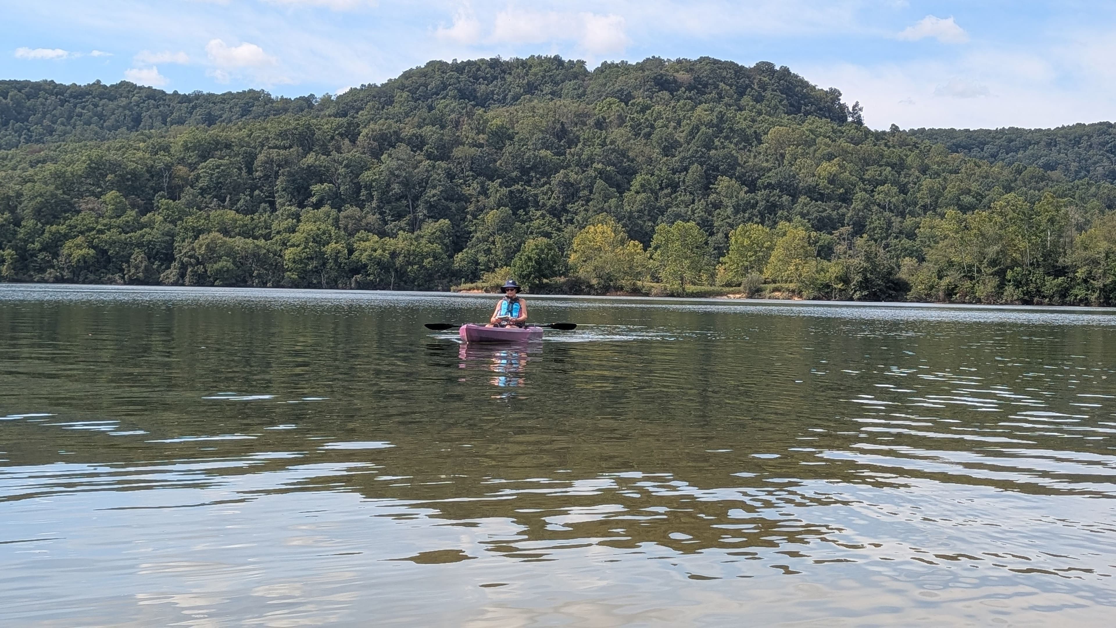
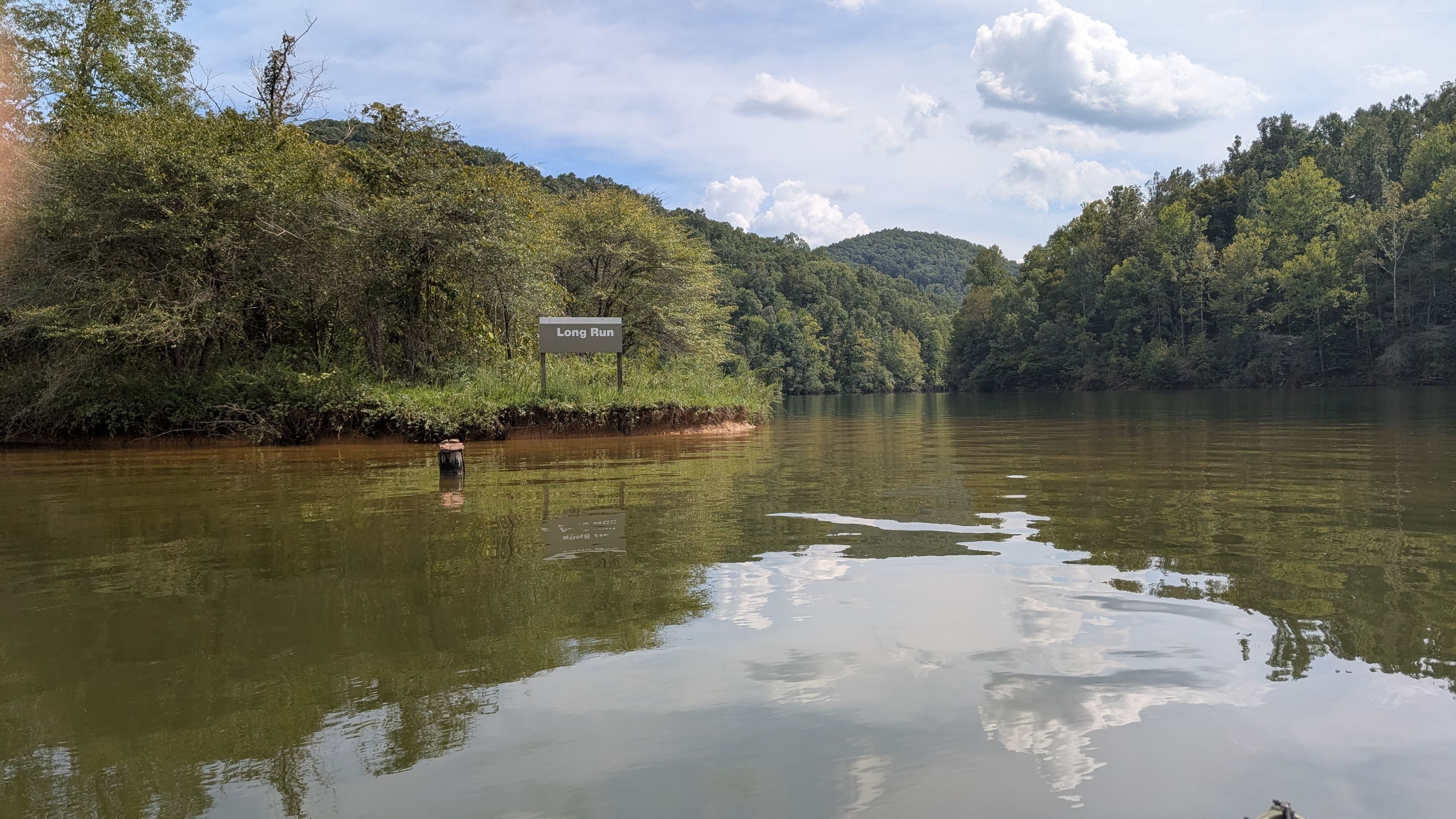
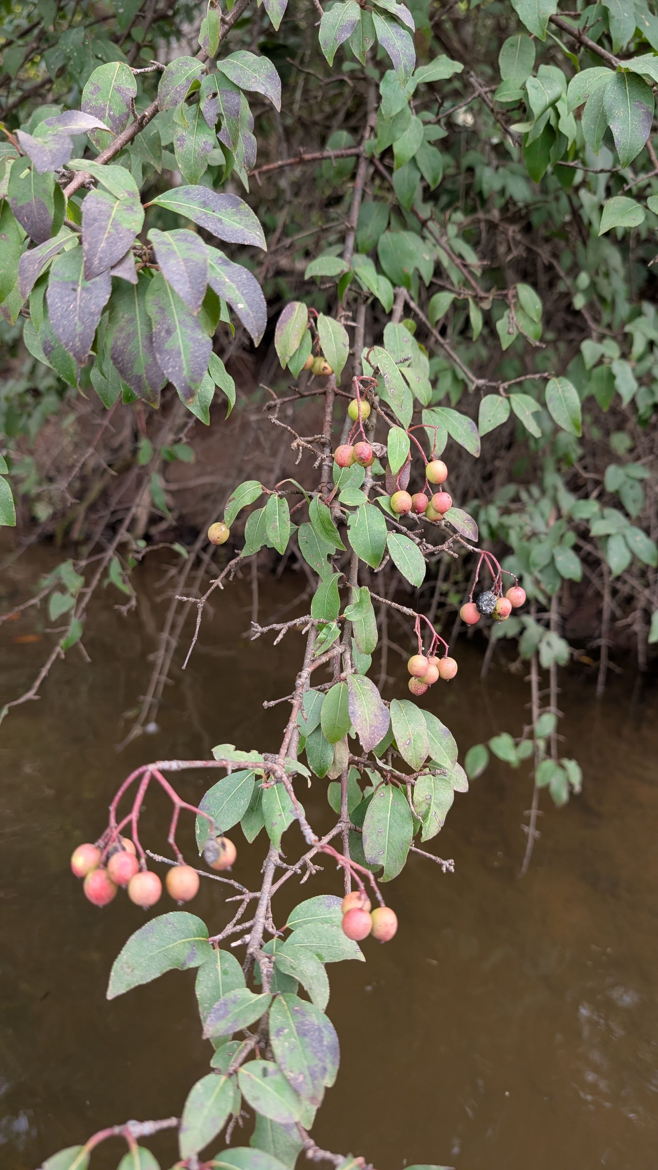
Keith G.
Burnsville Lake 8/12/2026
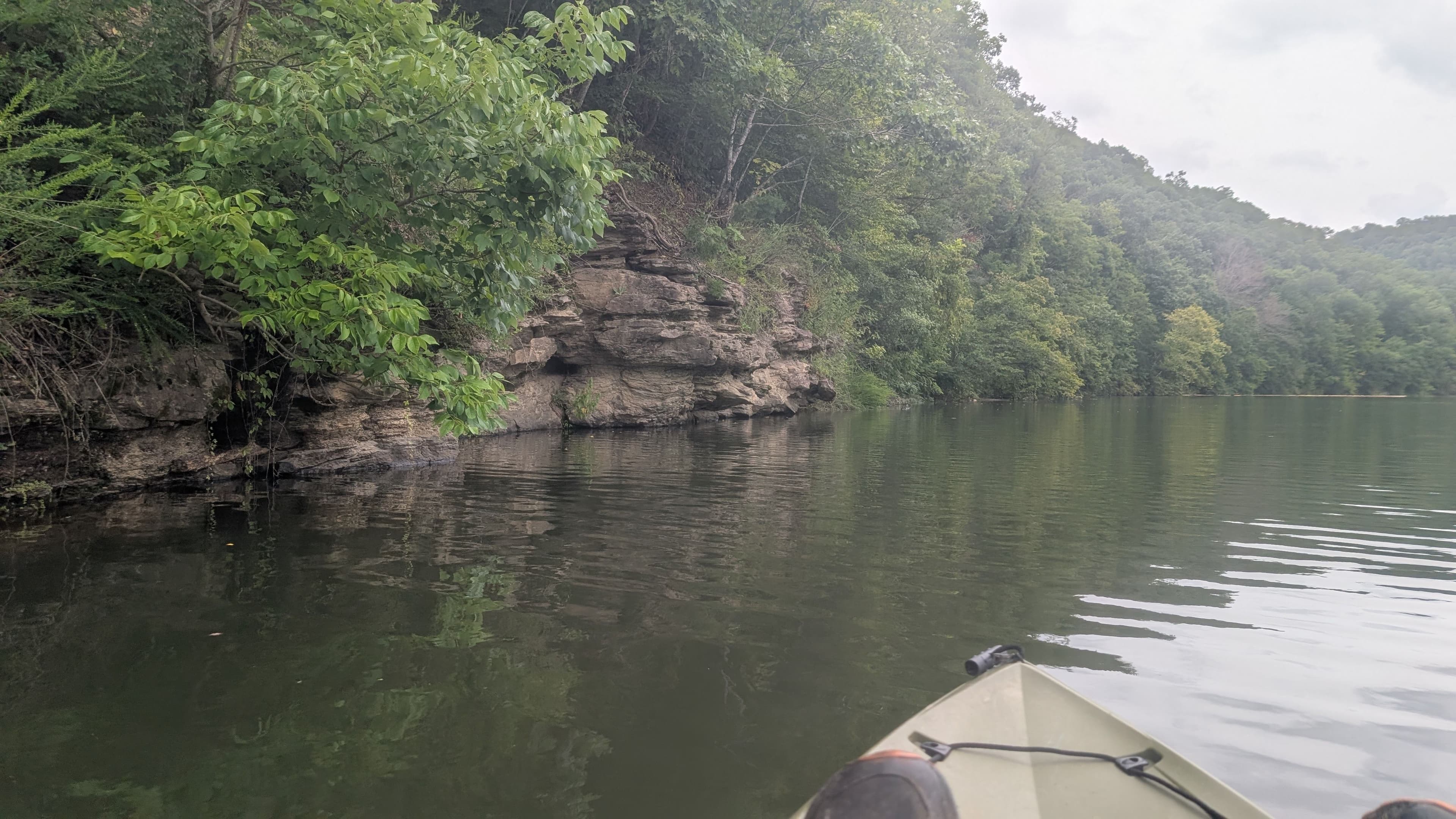
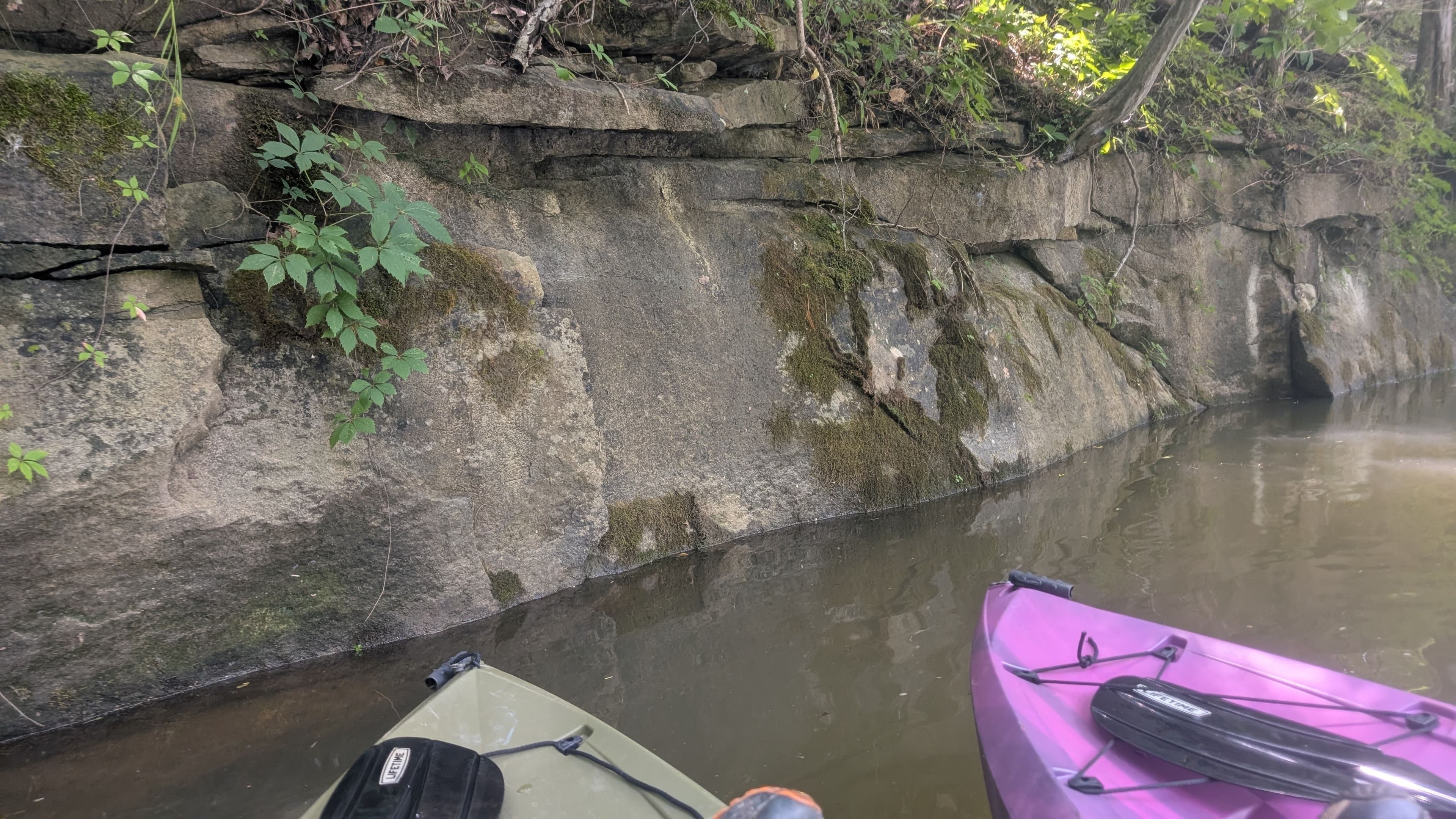
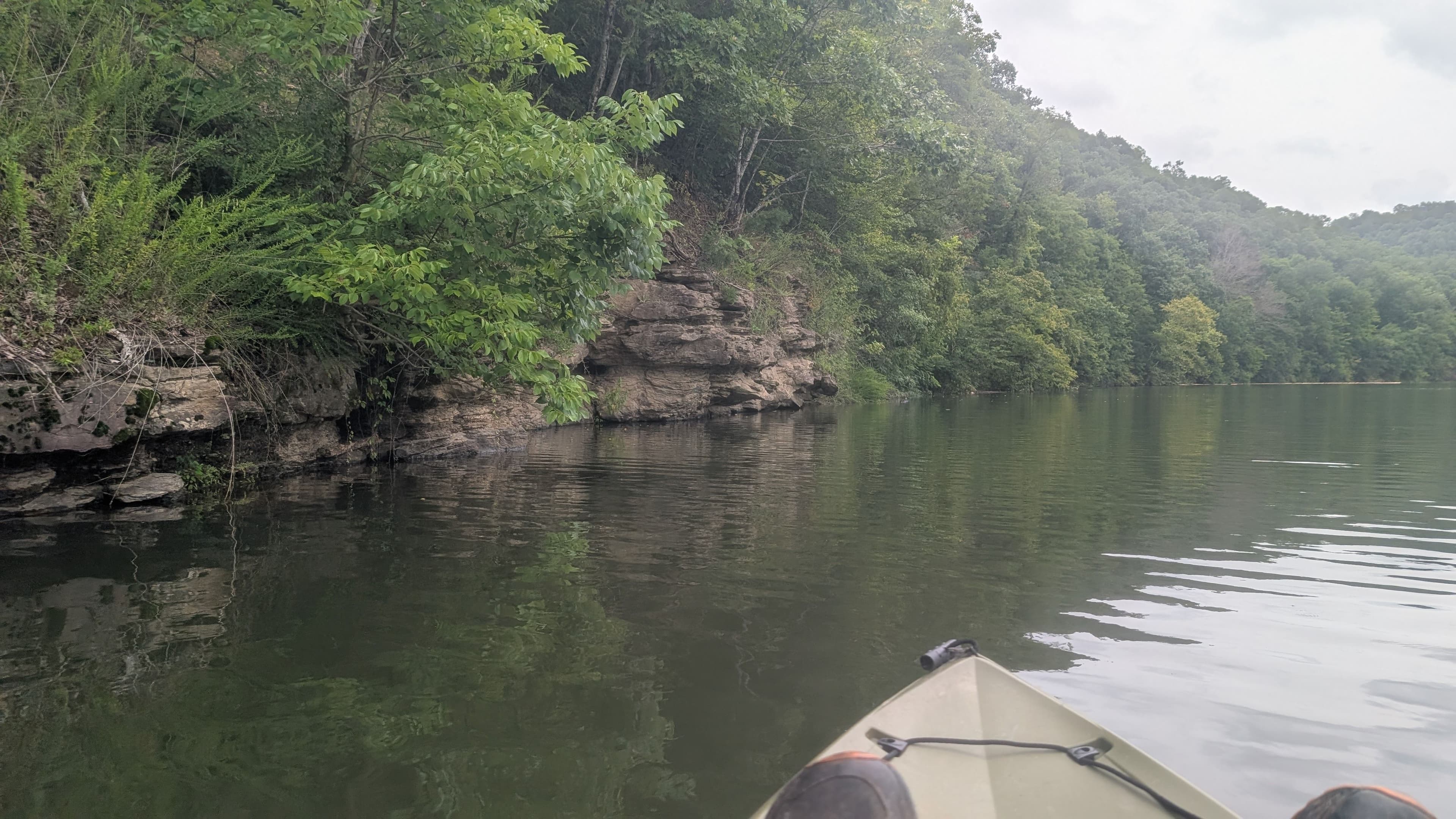 +1
See exactly where the public can get on and off the water. Launch points and boat ramps are paired with PaddleWays' public land data so you know where you can legally land.
Public shoreline
100%of the lake's shoreline is public
Weather, wind and a verdict for each route, so you know if Burnsville Lake is worth paddling today.
No forecast data available.
Live flows, marked hazards and fresh trip reports from paddlers who were just on the water, all in one place.





Every user gets free access to launch points, boat ramps, and public property parcels.

Loading popular cities...
PaddleWays gives you everything you need to plan smarter, paddle better, and own every trip from first launch to takeout.