Curated by PaddleWays
RouteClass II–III
- Distance
- 6.7 mi
- Paddle time
- ~1.5 hrs
- Put-in → take-out
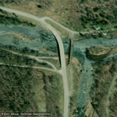
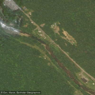
- Fenwick Access → Mouth of Cherry Boat Ramp
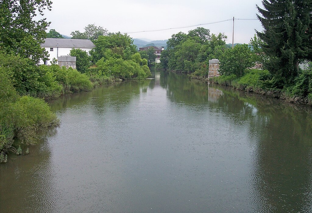
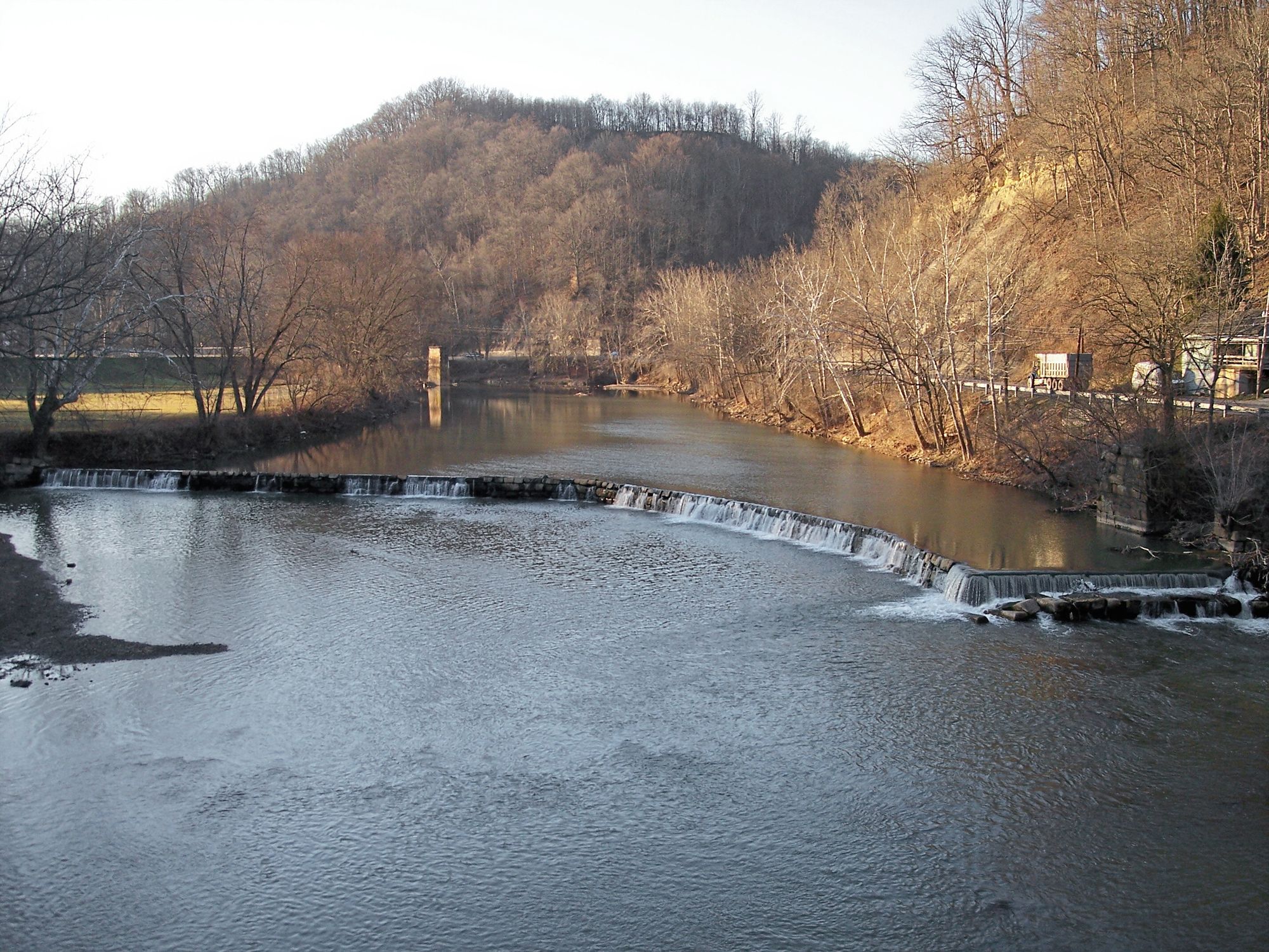
The Cherry River is a waterway located in southeastern West Virginia, flowing through Nicholas and Greenbrier Counties. This tributary of the Gauley River offers paddlers a range of whitewater experiences, from gentle floats to challenging rapids, all set against the backdrop of the beautiful Monongahela National Forest.
The river is composed of three main sections: the North Fork, the South Fork, and the Main Stem. The North Fork, a 7-mile stretch from the third WV 39 and 55 Bridge to Richwood, provides consistent Class II-IV whitewater action that becomes increasingly challenging at higher water levels.
The South Fork, running 5.1 miles from CR39/11 to its confluence with the North Fork, offers similar Class II-IV rapids through a picturesque mountain setting. After the forks merge at Richwood, the Main Stem of the Cherry River continues for 9 miles to its confluence with the Gauley River. This section is ideal for novice to intermediate paddlers, featuring primarily Class II-III rapids with some Class IV features at higher flows. It's an excellent stretch for honing basic paddling skills like eddy turns.
The Cherry River system is typically suitable for paddling from early spring through early summer, with the best flows often occurring during the spring snowmelt or after heavy rains. Paddlers should always check current water levels and weather conditions before embarking on a trip.
The river corridor is home to a diverse array of Appalachian flora and fauna. Paddlers may spot white-tailed deer, black bears, and various bird species including ospreys and bald eagles. The surrounding forest is dominated by hardwoods like oak and maple, with rhododendrons and mountain laurel adding splashes of color in the spring.
Richwood, known as the "Ramp Capital of the World" for its abundance of wild leeks, serves as the primary access point for many Cherry River paddling trips. This small mountain town offers amenities for visitors and serves as a gateway to the Monongahela National Forest. For those seeking a multi-day adventure, it's possible to combine a Cherry River run with a trip down the Gauley River, creating an epic whitewater journey through some of West Virginia's most stunning landscapes.
Safety is paramount on the Cherry River. All paddlers should wear appropriate safety gear, including helmets and life jackets. It's advisable to paddle with at least three people, especially on the more challenging sections. Scouting rapids is recommended, particularly at higher water levels when some drops can become more technical.
The Cherry River isn't just a paddler's paradise; it's also steeped in the history and culture of West Virginia. The river played a crucial role in the region's timber industry, and remnants of old logging operations can still be seen along its banks. Today, the Cherry River stands as a testament to the state's natural beauty and outdoor recreation opportunities, offering a perfect blend of adventure and scenic tranquility in the heart of Appalachia.
Curated routes
Hand-picked by the PaddleWays team, with put-ins, take-outs, paddle times and the hazards along the way.
RouteClass II–III
Hazards
No hazards are marked on Cherry River yet. That is not the same as none being there: if you find one, report it for the next paddler.
From the community
Nobody has shared a trip on Cherry River yet. Paddle it, then tell the next paddler how it went.
See exactly where the public can get on and off the river. Launch points and boat ramps are paired with PaddleWays' public land data so you know where you can legally land.
Public shoreline
24%of the river's shoreline is public
Most of the riverbank is private. Launch, land and camp only at public access points.
Flows, weather and a route-by-route verdict, so you know which stretch of the Cherry River is worth paddling today.
Live flows, marked hazards and fresh trip reports from paddlers who were just on the water, all in one place.





Every user gets free access to launch points, boat ramps, and public property parcels.

Loading popular cities...
PaddleWays gives you everything you need to plan smarter, paddle better, and own every trip from first launch to takeout.