Curated by PaddleWays
RouteFlatwater
- Distance
- 12.3 mi
- Paddle time
- ~4 hrs
- Best for
- Beginners
- Put-in → take-out
- Lower Waterways Park Boat Ramp → The Forks of Coal Boat Ramp
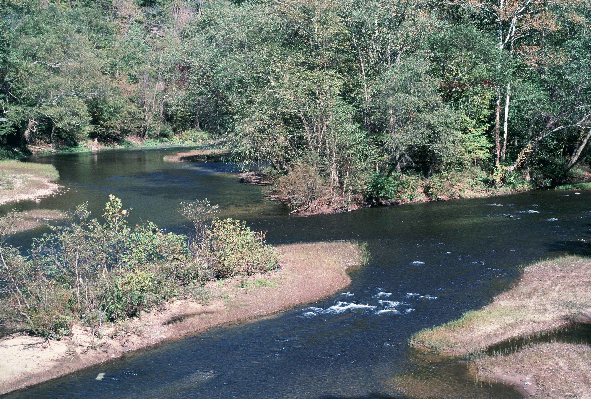
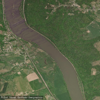
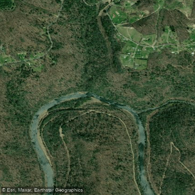
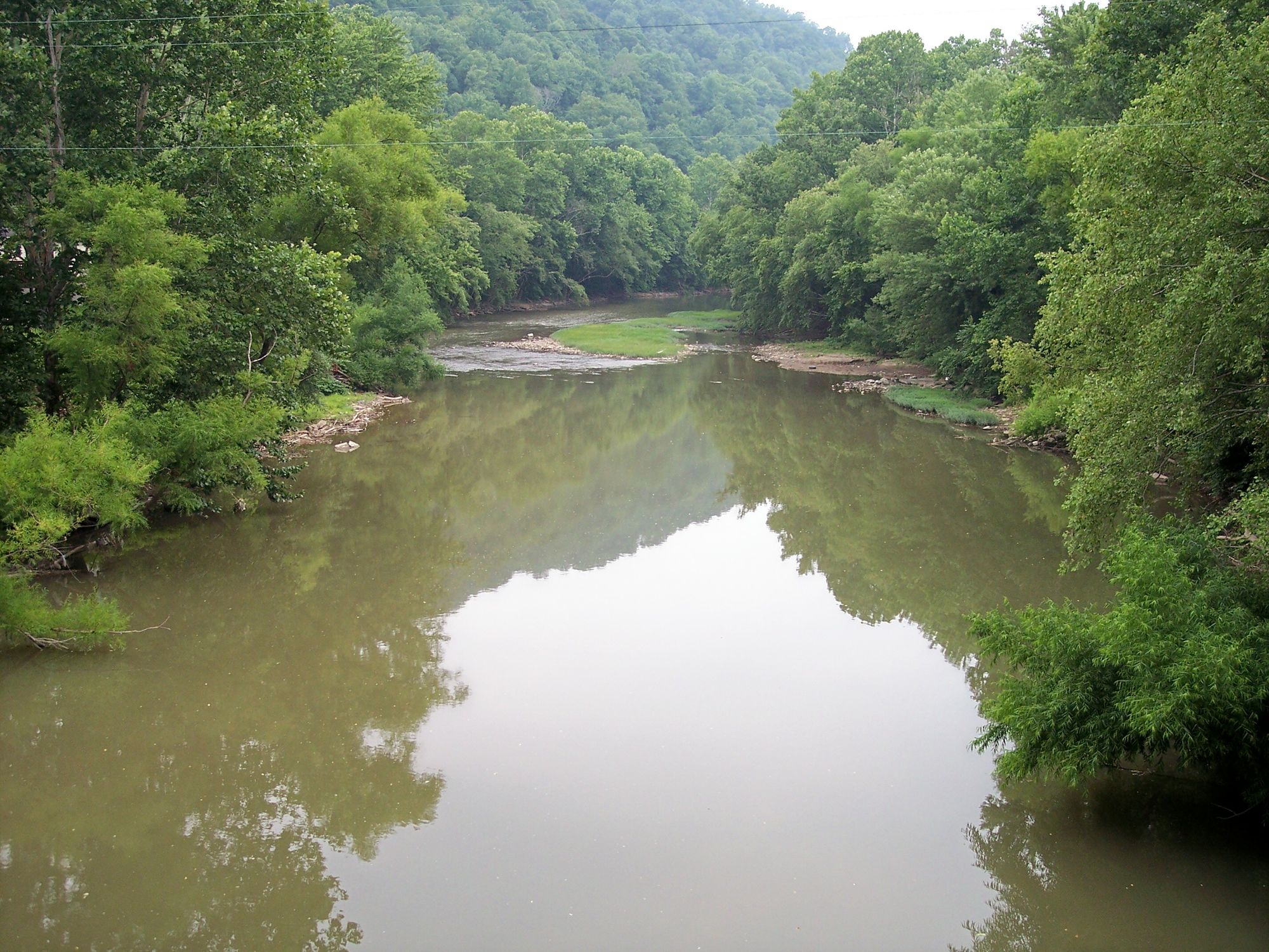
The Little Coal River is a scenic waterway in southern West Virginia, originating near the town of Madison and flowing northward for approximately 27 miles until it joins the Big Coal River at Alum Creek to form the Coal River. This river system is part of the larger Kanawha River watershed. Paddling opportunities on the Little Coal River range from calm flatwater sections ideal for beginners to more challenging Class II-III rapids in certain areas. The river is divided into several popular paddling sections, including the 13.8-mile Rocklick to Van stretch (Class I-III) and the more leisurely Van to Madison section. The entire length from Madison to Alum Creek offers a 27-mile journey suitable for multi-day trips.
The difficulty of the Little Coal River varies, with most sections being Class I-II, appropriate for intermediate paddlers. However, the short 1.4-mile Pineknob to Marsh Fork Confluence section presents more challenging Class II-III(IV) whitewater, requiring advanced skills. Spring and early summer typically offer the best water levels for paddling, though the river is often navigable year-round. Fall foliage season provides spectacular scenery along the riverbanks.
The river corridor supports diverse wildlife, including various fish species, birds, and occasional sightings of deer or black bear. The surrounding landscape features a mix of forested hillsides and occasional rock formations characteristic of the Appalachian region.
Key landmarks along the Little Coal River include the Boone County Water Park, the trailhead for the Hatfield-McCoy ATV Center, and Water Ways Park. The river is part of the larger Coal River Walhonde Water Trail system, which spans 88 miles across the Coal River watershed. Major access points include Madison City Park, Danville Community Center, Donald Kuhn Juvenile Center, and various locations near Van and Alum Creek. The nearby towns of Madison, Danville, and St. Albans serve as convenient base camps for river expeditions.
Historically, the Little Coal River played a role in the region's coal mining heritage. Today, it serves as an important recreational resource, hosting events like the annual Tour De Coal, a popular 11-mile flatwater paddling event.
Paddlers should be aware of potential hazards such as strainers and fluctuating water levels. It's advisable to check current river conditions and adhere to safety regulations, including the use of personal flotation devices. For those seeking longer adventures, the Little Coal River can be combined with sections of the Big Coal River for extended multi-day trips, offering a comprehensive exploration of the Coal River watershed.
Curated routes
Hand-picked by the PaddleWays team, with put-ins, take-outs, paddle times and the hazards along the way.
RouteFlatwater
Hazards
No hazards are marked on Little Coal River yet. That is not the same as none being there: if you find one, report it for the next paddler.
From the community
Real trips from PaddleWays paddlers: which route they ran, how the flows were, and what to watch for.
Loading trip reports

Paul R.
363 cfs at Danville
Upper Waterways Park Boat Ramp to Madison City Park Boat Ramp
Paul R.
Lower Waterways Park Boat Ramp to The Forks of Coal Boat Ramp• 146 cfs at Danville
Lower Waterways Park Boat Ramp to The Forks of Coal Boat Ramp
See exactly where the public can get on and off the river. Launch points and boat ramps are paired with PaddleWays' public land data so you know where you can legally land.
Public shoreline
4%of the river's shoreline is public
Most of the riverbank is private. Launch, land and camp only at public access points.
Flows, weather and a route-by-route verdict, so you know which stretch of the Little Coal River is worth paddling today.
Live flows, marked hazards and fresh trip reports from paddlers who were just on the water, all in one place.





Every user gets free access to launch points, boat ramps, and public property parcels.


Loading popular cities...
PaddleWays gives you everything you need to plan smarter, paddle better, and own every trip from first launch to takeout.