Curated by PaddleWays
RouteClass I
- Distance
- 1.9 mi
- Paddle time
- ~0.5 hrs
- Best for
- Kayak, canoe, raft
- Put-in → take-out
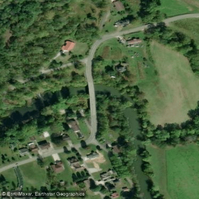
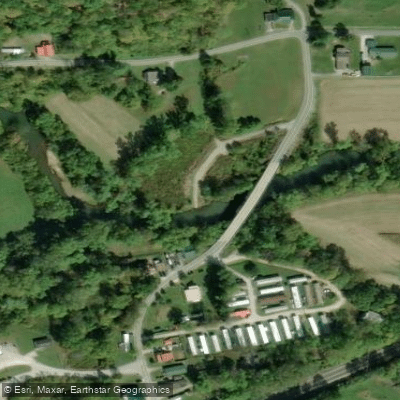
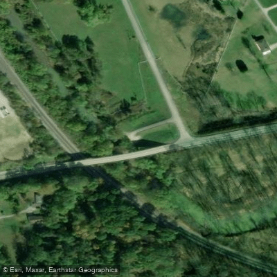
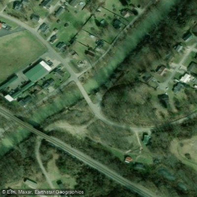
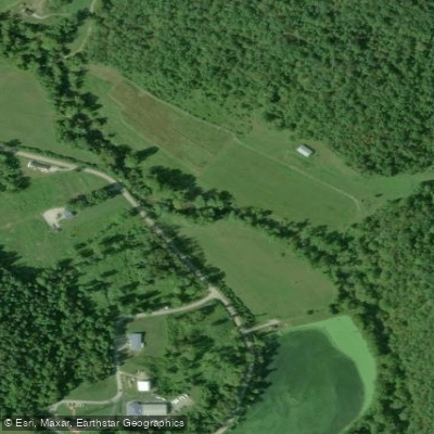
- I-64 Bridge Ona Boat Ramp → Blue Sulphur Road Bridge Access
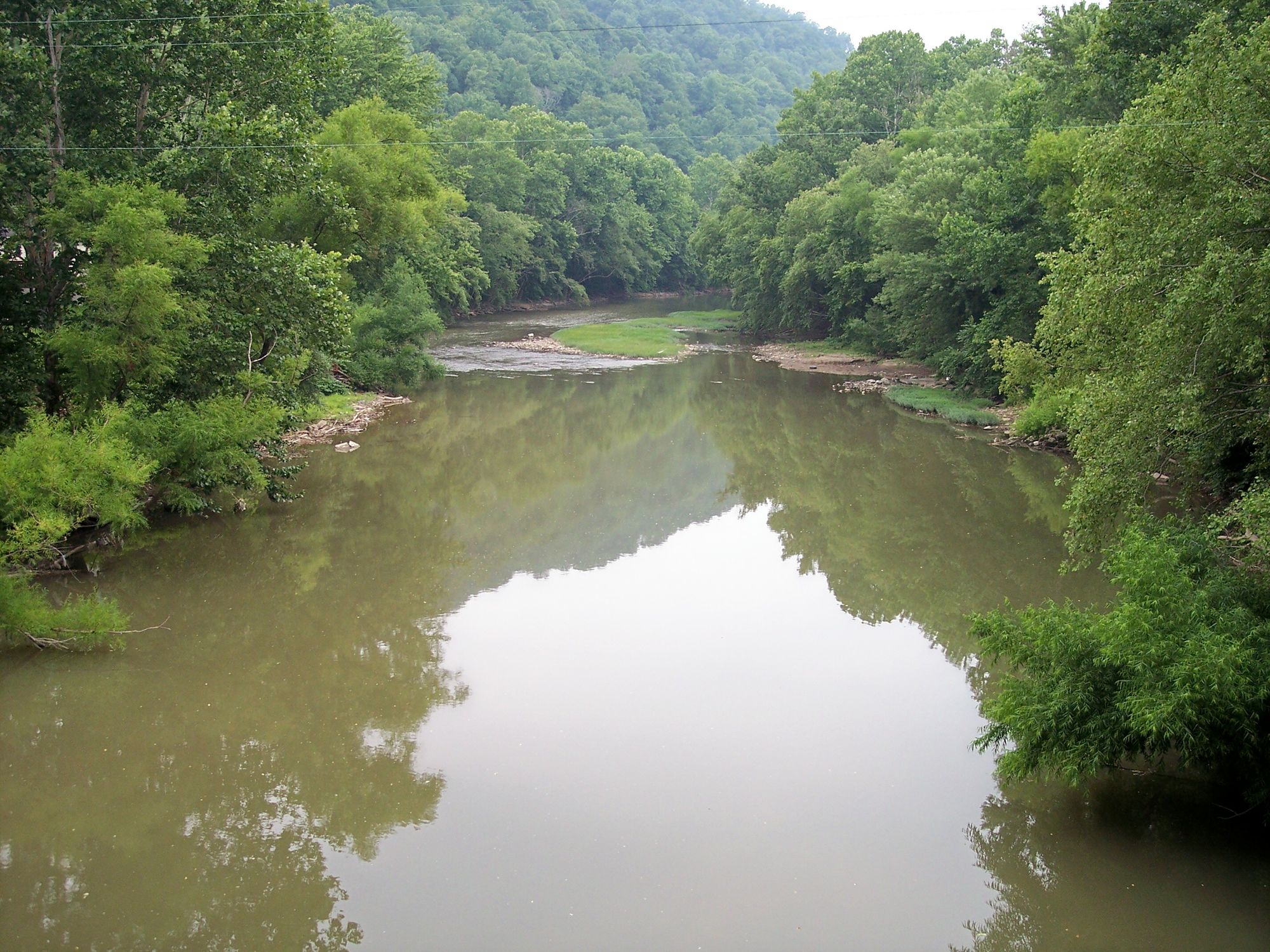
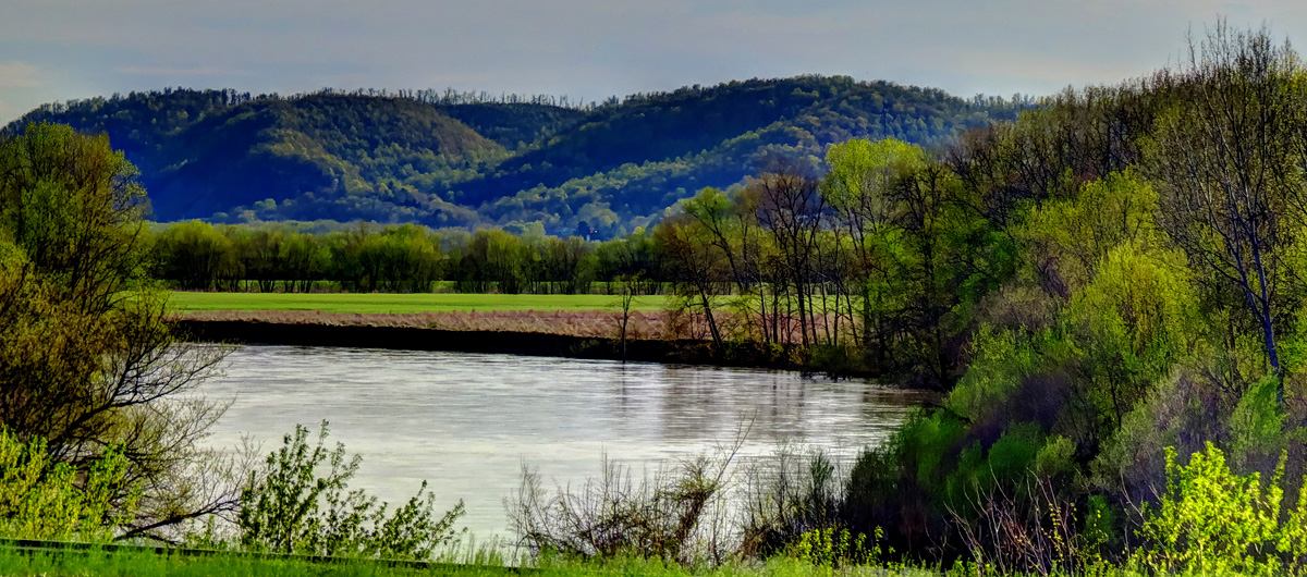
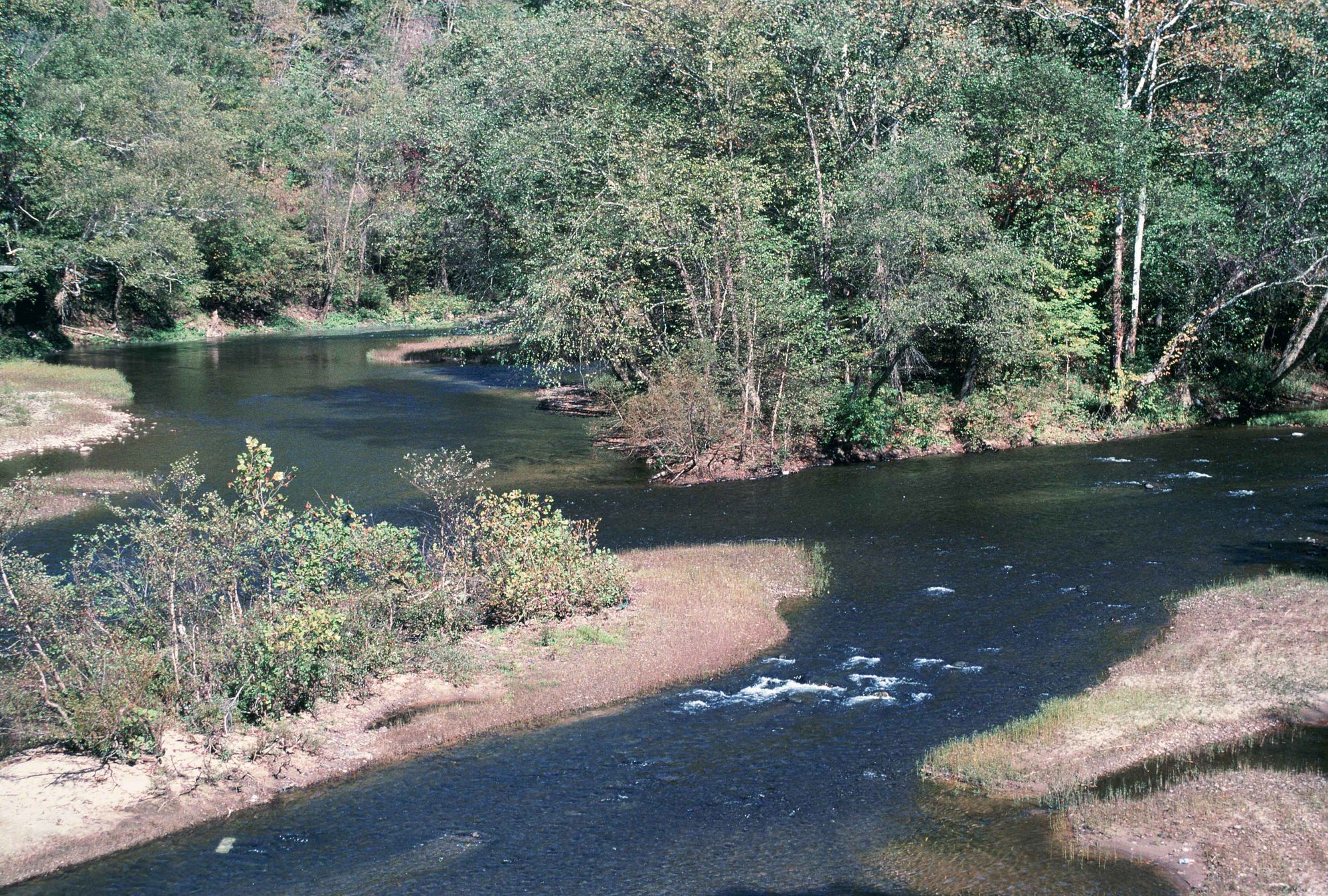
The Mud River is a scenic waterway in western West Virginia, originating in Lincoln County and flowing northwest for approximately 45 miles before joining the Guyandotte River near Barboursville. This tributary of the Guyandotte drains portions of Lincoln and Cabell counties, forming an important part of the region's watershed. Paddling opportunities on the Mud River range from peaceful flatwater sections to gentle Class I rapids, making it an excellent destination for beginners and families.
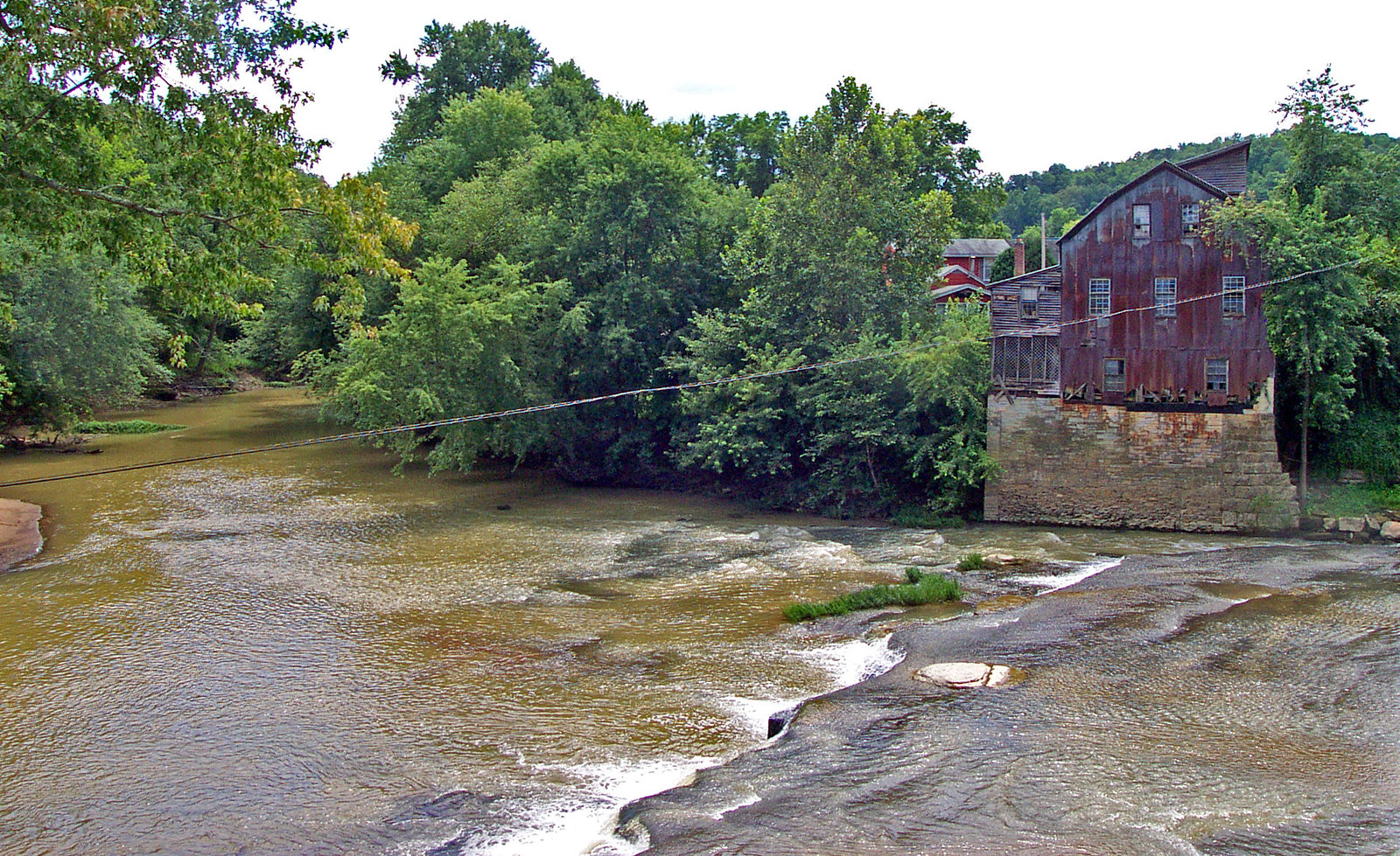
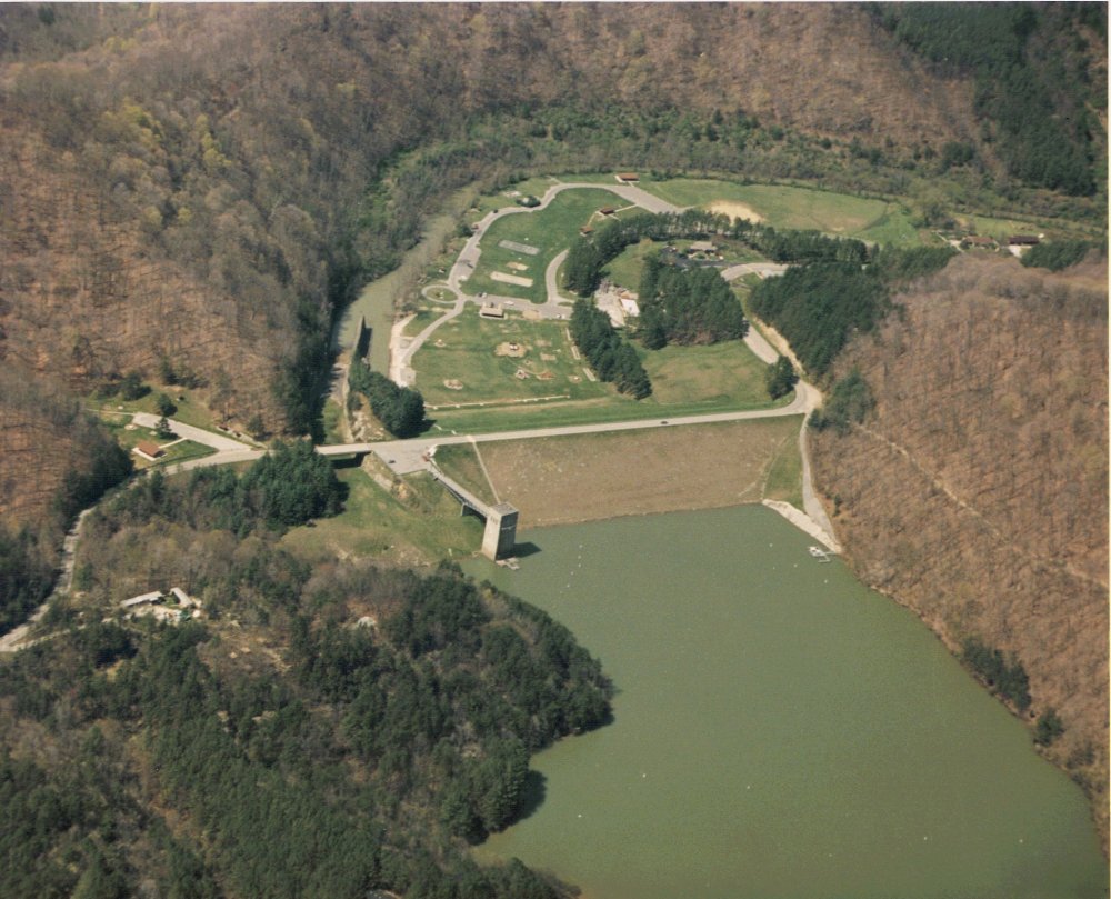
The river offers several notable sections for kayaking and canoeing, including the popular 5-mile stretch from Ona (near Howell's Mill) to the Blue Sulphur Road Bridge. This Class I run provides a relaxing journey through picturesque countryside, passing historical landmarks like the ruins of the old Blue Sulphur Springs resort. For those seeking a shorter adventure, the 2.75-mile Upper Mud River section from Palemo Bridge to Henry's Camping Retreat offers a quick day trip option with Class I-II rapids. Mud River Lake, located in Lincoln County, provides a serene flatwater paddling experience ideal for leisurely exploration and nature observation.
The river's difficulty generally ranges from flatwater to Class II, making it suitable for novice to intermediate paddlers. However, water levels can fluctuate seasonally, so it's advisable to check conditions before embarking on a trip. Spring and early summer typically offer the best water levels for paddling, while late summer and fall may require more careful navigation due to lower water.
The Mud River's ecosystem supports a variety of flora and fauna typical of West Virginia's waterways. Paddlers may encounter diverse wildlife, including various fish species, waterfowl, and occasional glimpses of deer or other mammals along the forested banks. Key landmarks include the Blue Sulphur Bridge, an abandoned Pratt through truss spanning the river near Ona, and the relocated Mud River Covered Bridge, now situated at the West Virginia Pumpkin Festival Fairgrounds near Milton. These structures offer glimpses into the area's transportation history.
Access points are available near several towns, with Ona, Milton, and Hamlin serving as convenient starting locations for different sections. The river's proximity to Huntington also makes it an accessible day trip destination for urban residents seeking a nature escape.
Historically, the Mud River played a role in the region's development, powering mills like Howell's Mill and supporting early settlements. Today, it continues to be an important recreational resource for local communities.
Safety considerations include checking water levels, being aware of potential strainers or log jams, and respecting private property along the banks. As with all river trips, wearing a personal flotation device is essential. While primarily suited for day trips, the Mud River's various sections could be combined for multi-day adventures, with camping options available at locations like Henry's Camping Retreat. However, careful planning is necessary due to limited established campsites along the river itself.
Curated routes
Hand-picked by the PaddleWays team, with put-ins, take-outs, paddle times and the hazards along the way.
RouteClass I
RouteClass I–II
Hazards
No paddler has reported a hazard here yet, so these are the dams, falls and big rapids on our map. Hazards change with flows and storms, so check them before you launch.
From the community
Nobody has shared a trip on Mud River yet. Paddle it, then tell the next paddler how it went.
See exactly where the public can get on and off the river. Launch points and boat ramps are paired with PaddleWays' public land data so you know where you can legally land.
Public shoreline
7%of the river's shoreline is public
Most of the riverbank is private. Launch, land and camp only at public access points.
Flows, weather and a route-by-route verdict, so you know which stretch of the Mud River is worth paddling today.
All Flow Stations
Live flows, marked hazards and fresh trip reports from paddlers who were just on the water, all in one place.





Every user gets free access to launch points, boat ramps, and public property parcels.



Loading popular cities...
PaddleWays gives you everything you need to plan smarter, paddle better, and own every trip from first launch to takeout.