Curated by PaddleWays
Old Field Fork
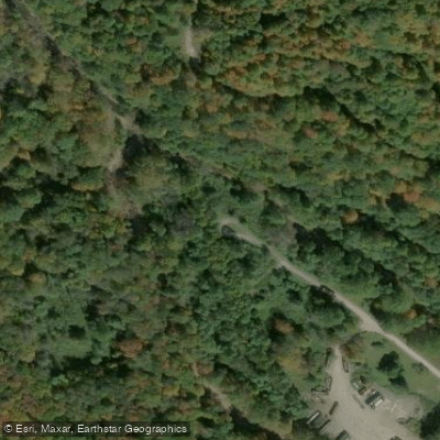
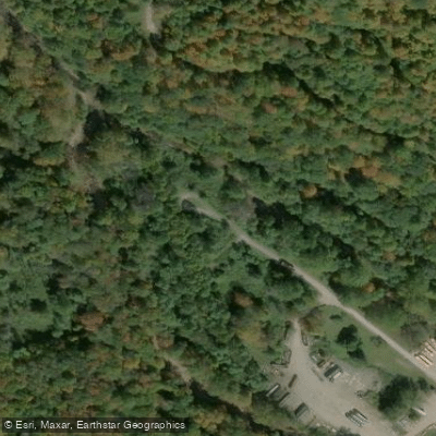
on Old Field Fork · take-out here
RouteClass I–III
- Distance
- 8.4 mi
- Paddle time
- ~2 hrs
- Put-in → take-out
- Highland Scenic Highway Campground → Slaty Fork Access
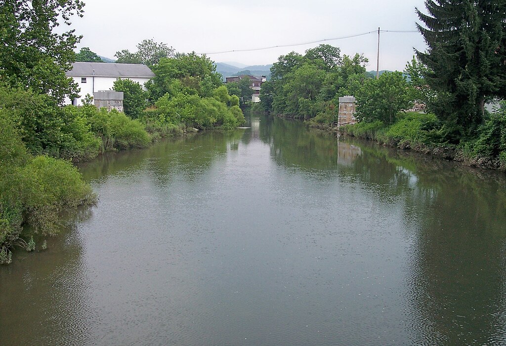
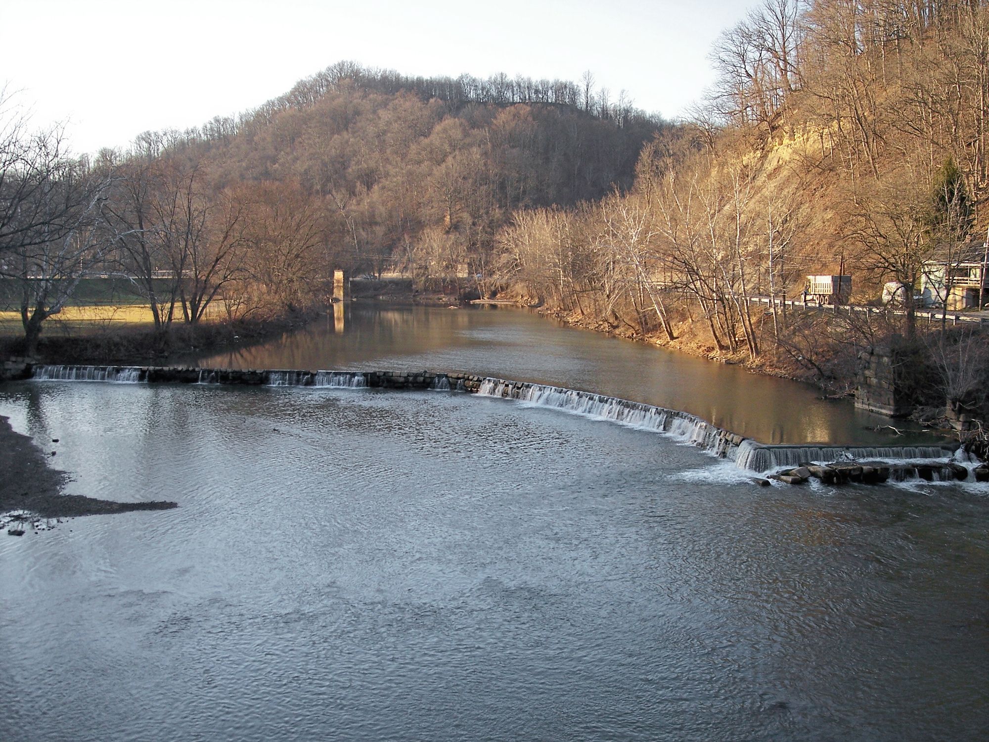
Slaty Fork C&R Access is a 61-acre catch-and-release trout fishing area located on a narrow strip of river bottom between the railroad grade and the Slatyfork River in Pocahontas County.
The site provides a WVDNR parking access point for a 4.6-mile catch-and-release section of the Slatyfork River, with foot traffic only permitted along this designated trout fishing area. Camping is not permitted at this location.
Explore the wonders of Old Field Fork! Find excellent paddling spots, easy access to boat ramps, and all the amenities you need for a memorable day by the water. Your adventure starts here.
Curated routes
Hand-picked by the PaddleWays team, with put-ins, take-outs and paddle times. Levels are read from live gauges.
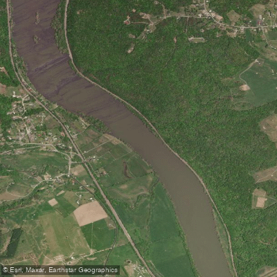
on Old Field Fork · take-out here
RouteClass I–III
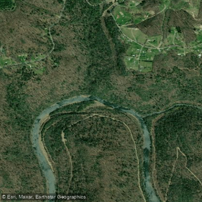
on Elk River · put-in here
RouteClass I–II
Check the forecast at Slaty Fork Access before you go paddling.
No forecast data available.

No waters available right now.
Loading popular cities...
PaddleWays gives you everything you need to plan smarter, paddle better, and own every trip from first launch to takeout.
