Curated by PaddleWays
RouteClass II–III
- Distance
- 15.2 mi
- Paddle time
- ~4 hrs
- Put-in → take-out
- Cicerone Road Access → Pocatalico Boat Ramp
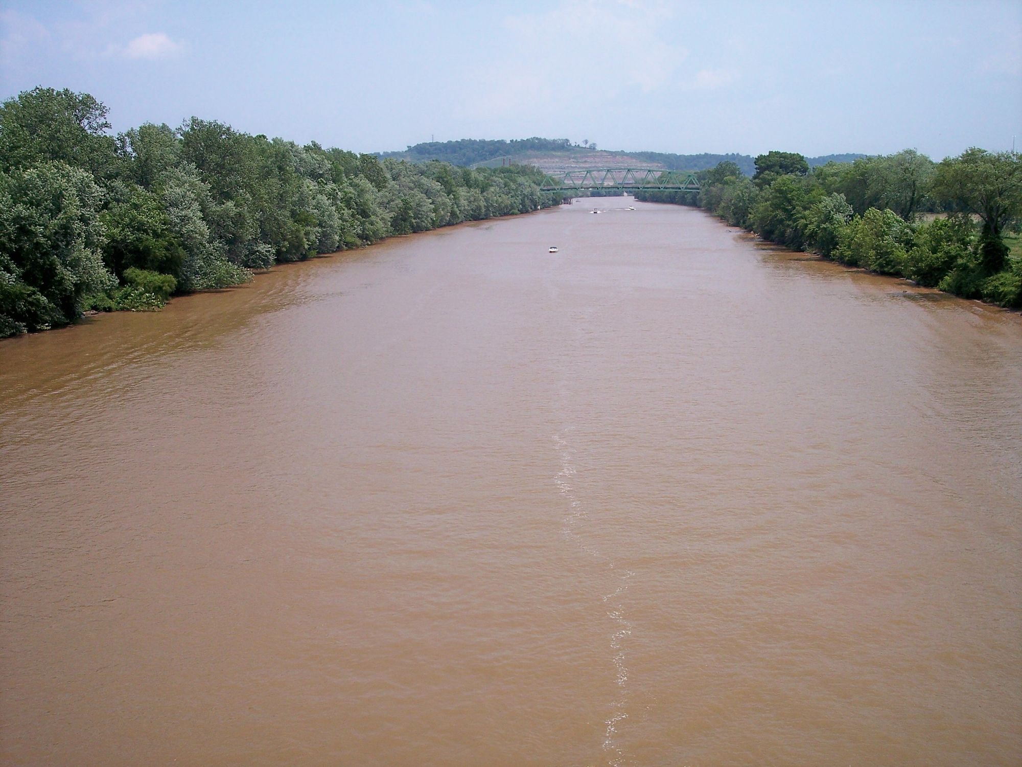
The Pocatalico River is a significant tributary of the Kanawha River in west-central West Virginia, flowing approximately 75 miles through a rural landscape. Originating near Looneyville in Roane County, the river flows southwestward through southern Roane County, northern Kanawha County, and southeastern Putnam County before joining the Kanawha River near the town of Poca. The Pocatalico drains a watershed of about 500 square miles, making it an important part of the larger Kanawha River system.
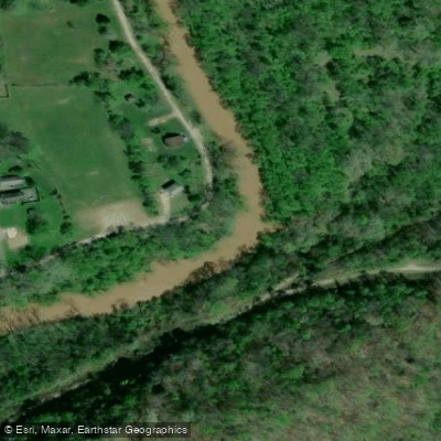
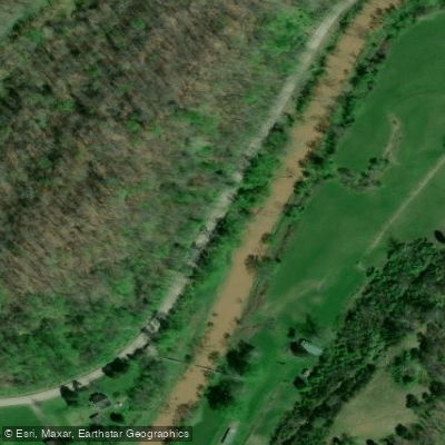
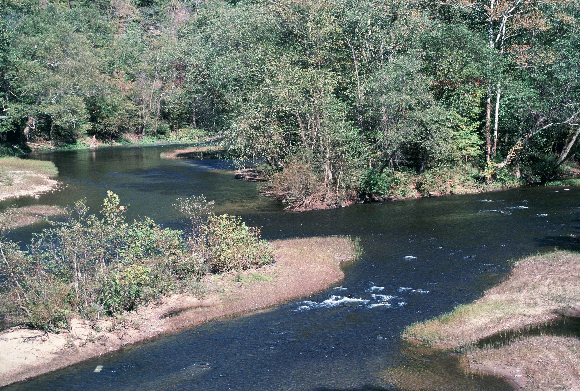
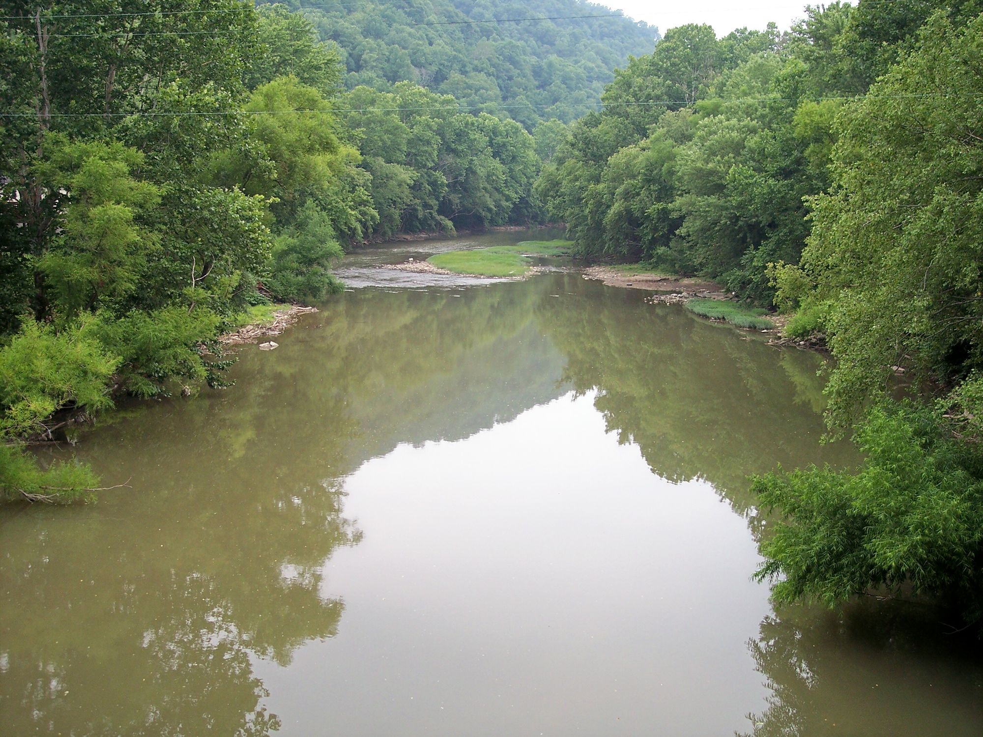
Paddling opportunities on the Pocatalico are primarily suited for intermediate to advanced paddlers, with sections ranging from Class II to III in difficulty. The 15-mile stretch from Cicerone Road to Sissonville is a popular run, offering a mix of swift water and calmer pools as it winds through the rural countryside. This section provides a good representation of the river's character, with forested banks, occasional rock formations, and glimpses of pastoral farmland.
The river's flow is heavily influenced by seasonal rainfall patterns, with spring typically offering the most reliable water levels for paddling. Late fall can also provide good conditions, but summer often sees lower water levels that may make some sections challenging or unnavigable. Paddlers should always check current water levels and weather forecasts before embarking on a trip.
The Pocatalico's ecosystem supports a variety of flora and fauna typical of Appalachian rivers. Paddlers may spot white-tailed deer, wild turkeys, and various bird species along the wooded banks. The river is also home to several fish species, including smallmouth bass and various sunfish, making it a destination for anglers as well.
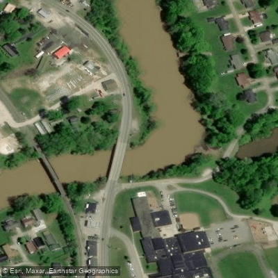
Key access points include the put-in at Cicerone Road and the take-out at Sissonville, with several smaller access points in between. The nearby town of Sissonville serves as a convenient base for river trips, offering basic amenities and services.
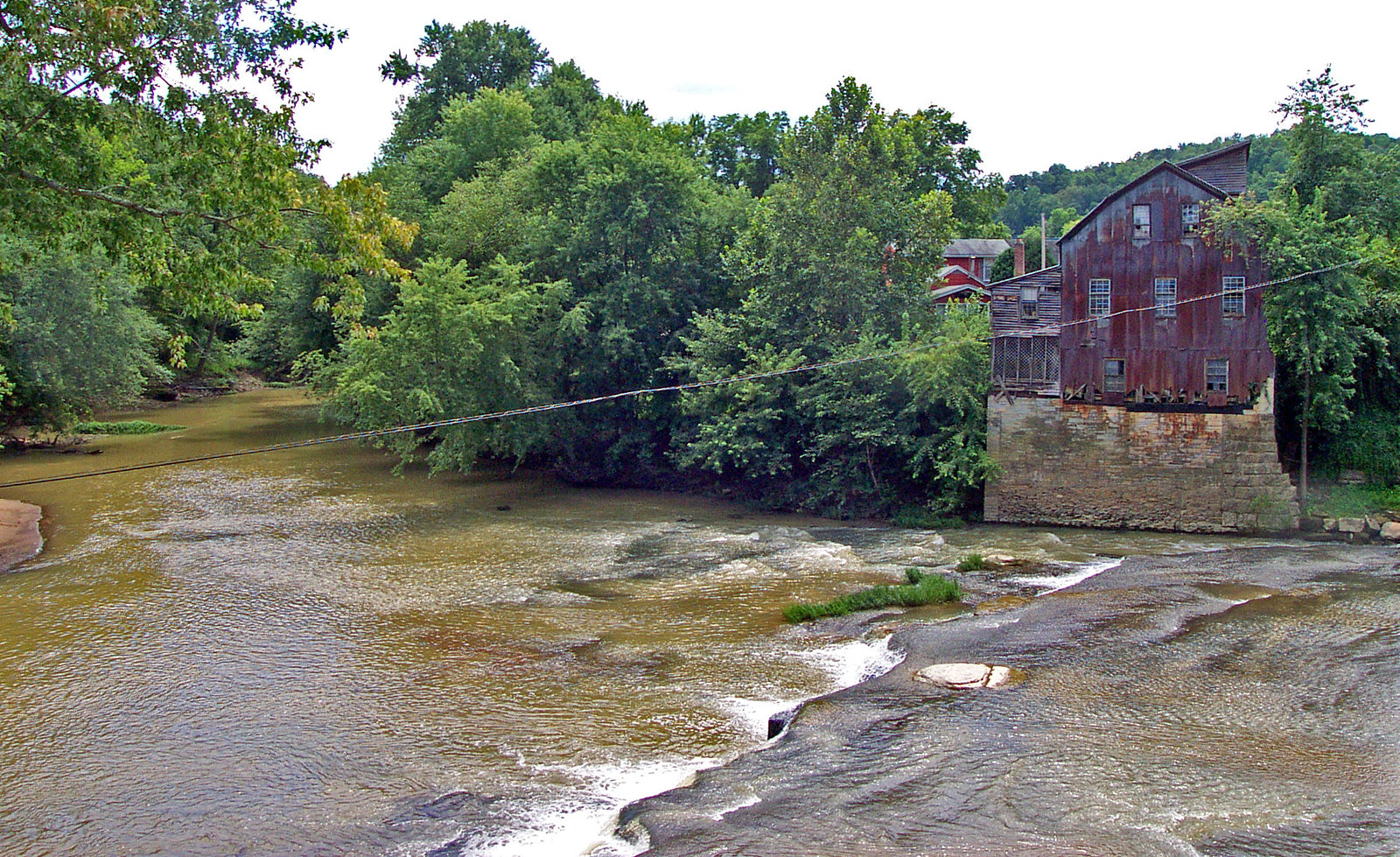
Historically, the Pocatalico River played a role in the early settlement and development of the region, with small communities growing along its banks. Today, it remains an important natural resource for local communities and offers a window into West Virginia's rural character.
Safety considerations are paramount on the Pocatalico, particularly due to its susceptibility to flash flooding. The river has a history of severe flooding events, including notable floods in 1997, 1998, and 2001 that resulted in National Disaster declarations. Paddlers must be vigilant about weather conditions and be prepared for rapid changes in water levels. While multi-day trips are possible for experienced paddlers, most recreational use focuses on day trips due to limited established camping areas along the river. Paddlers should be self-sufficient and practice Leave No Trace principles when exploring this scenic but relatively undeveloped waterway.
The Pocatalico River offers a quintessential West Virginia paddling experience, combining natural beauty, moderate whitewater challenges, and a sense of rural Appalachian heritage. Its proximity to the Kanawha Valley makes it an accessible adventure for locals and visitors alike, providing a taste of wild and wonderful West Virginia.
Curated routes
Hand-picked by the PaddleWays team, with put-ins, take-outs, paddle times and the hazards along the way.
RouteClass II–III
Hazards
No hazards are marked on Pocatalico River yet. That is not the same as none being there: if you find one, report it for the next paddler.
From the community
Nobody has shared a trip on Pocatalico River yet. Paddle it, then tell the next paddler how it went.
See exactly where the public can get on and off the river. Launch points and boat ramps are paired with PaddleWays' public land data so you know where you can legally land.
Public shoreline
0%of the river's shoreline is public
Most of the riverbank is private. Launch, land and camp only at public access points.
Flows, weather and a route-by-route verdict, so you know which stretch of the Pocatalico River is worth paddling today.
Live flows, marked hazards and fresh trip reports from paddlers who were just on the water, all in one place.





Every user gets free access to launch points, boat ramps, and public property parcels.


Loading popular cities...
PaddleWays gives you everything you need to plan smarter, paddle better, and own every trip from first launch to takeout.