Curated by PaddleWays
RouteClass III
- Distance
- 5.3 mi
- Paddle time
- ~1.5 hrs
- Put-in → take-out
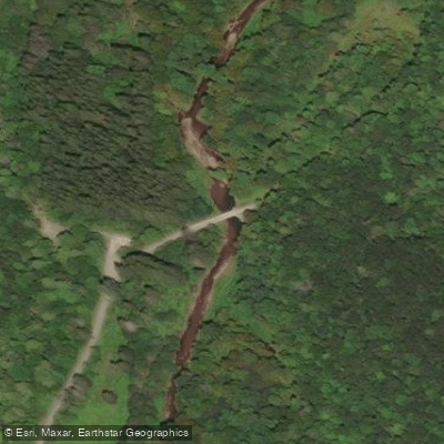
- Day Run Campground Access → Tea Creek Access
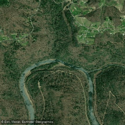
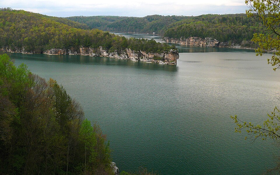
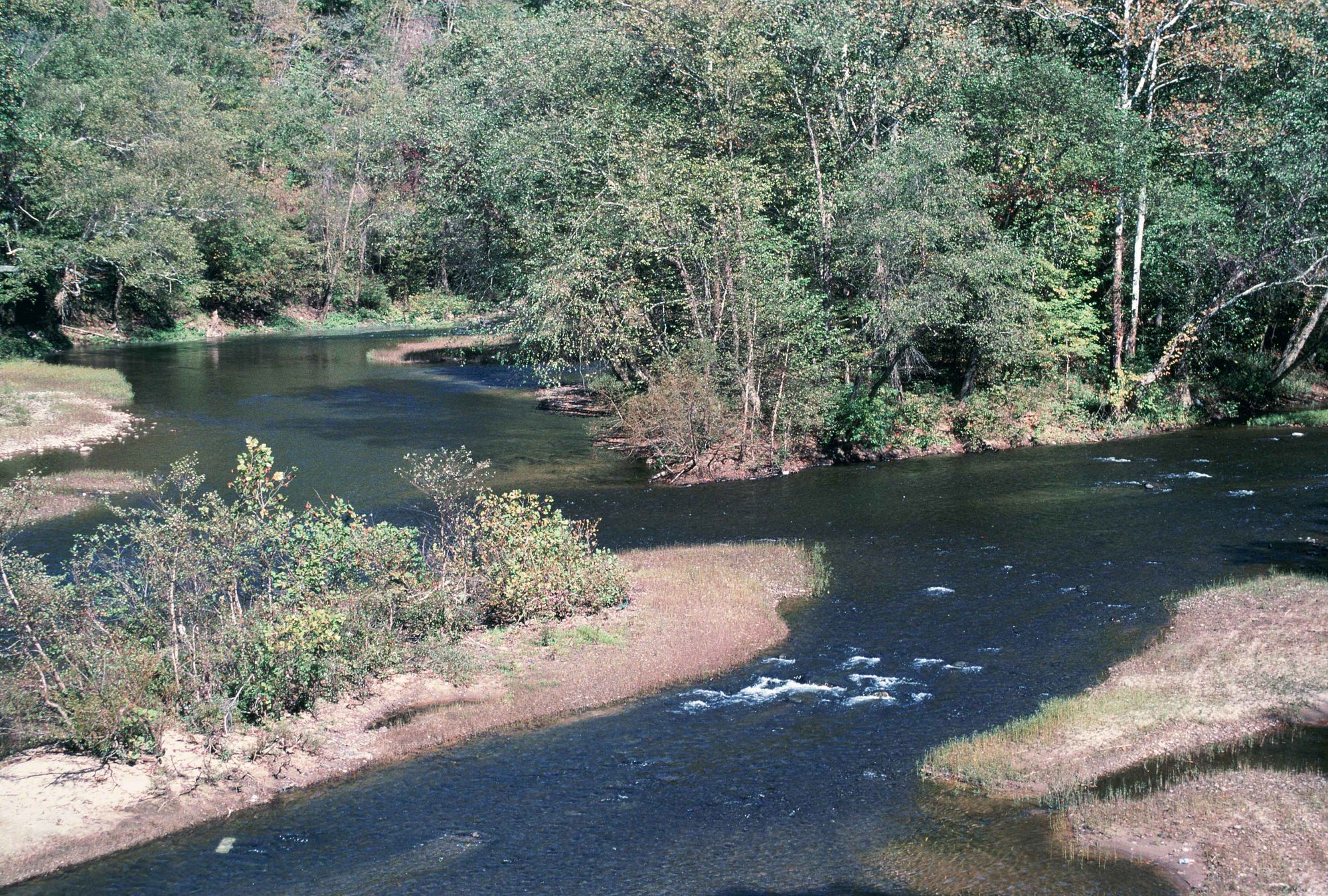
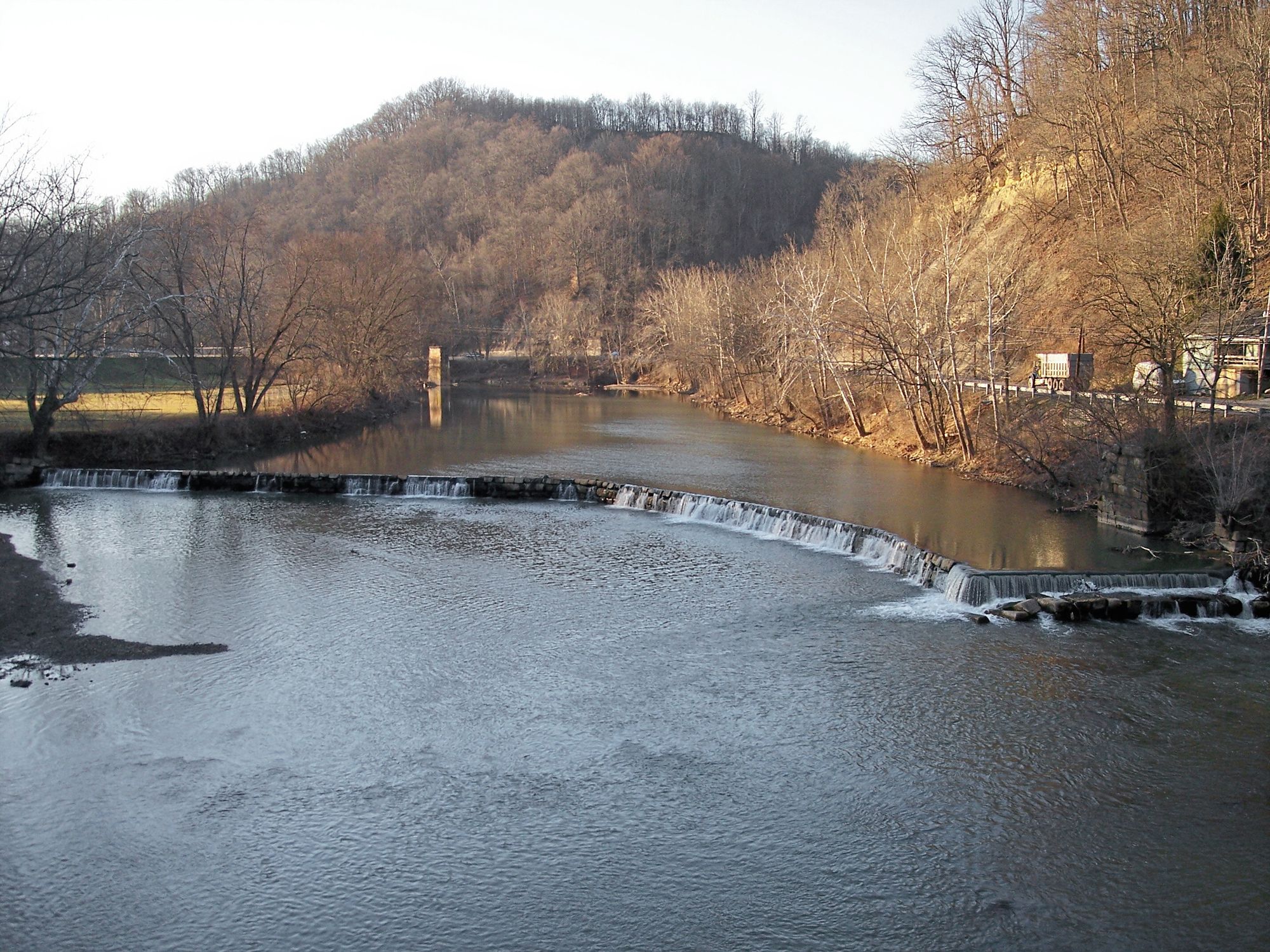
The Williams River is a picturesque waterway located in south-central West Virginia, originating in the Monongahela National Forest west of Marlinton. It flows generally northwest through Pocahontas and Webster counties before joining the Gauley River. The river traverses approximately 30 miles through rugged Appalachian terrain, draining a watershed that encompasses parts of the Cranberry Wilderness and Backcountry.
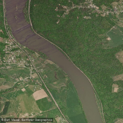
Paddlers can experience three distinct sections on the Williams River, each offering unique challenges. The upper section from Day Run to Tea Creek provides a wilderness experience with potential technical rapids, though specific details are limited. The middle section from Tea Creek to Three Forks is a popular 10-mile stretch featuring Class III whitewater, ideal for intermediate paddlers seeking a balance of excitement and scenery. The lower section from Three Forks to the Gauley River confluence spans another 10 miles, with the river widening and difficulty easing to Class II-III as several tributaries join.
The Williams River's difficulty ranges from Class II to III+, requiring solid whitewater skills, particularly in the upper reaches. Spring and early summer typically offer the best water levels, though heavy rains can create favorable conditions year-round. Paddlers should be prepared for remote conditions and self-rescue scenarios.
The river corridor supports a diverse ecosystem typical of the Appalachian region, including mixed hardwood forests, rhododendron thickets, and potential sightings of black bear, white-tailed deer, and various bird species. The surrounding Monongahela National Forest provides a pristine backdrop and additional recreational opportunities.
Key access points include Day Run Camping Area, Tea Creek Campground, and Three Forks, with the nearby town of Marlinton serving as a base for supplies and accommodations. The Tea Creek area is particularly notable, offering 170 miles of hiking and mountain biking trails in close proximity to the river.
While not as renowned as some of West Virginia's other whitewater destinations, the Williams River holds significance as a vital waterway within the Monongahela National Forest ecosystem. It offers paddlers a less crowded alternative to explore the natural beauty of the Mountain State.
Safety considerations include the river's remote nature, potential for rapid water level changes, and the presence of strainers and other natural hazards. Paddlers should check current conditions, carry appropriate safety gear, and be aware of any local regulations or permit requirements for camping and river use.
For those seeking a multi-day adventure, the Williams River can be combined with camping at facilities like Tea Creek Campground or Williams River Sites, allowing for an immersive backcountry experience in one of West Virginia's premier outdoor playgrounds.
Curated routes
Hand-picked by the PaddleWays team, with put-ins, take-outs, paddle times and the hazards along the way.
RouteClass III
RouteClass II–III
RouteClass III
Hazards
No hazards are marked on Williams River yet. That is not the same as none being there: if you find one, report it for the next paddler.
From the community
Nobody has shared a trip on Williams River yet. Paddle it, then tell the next paddler how it went.
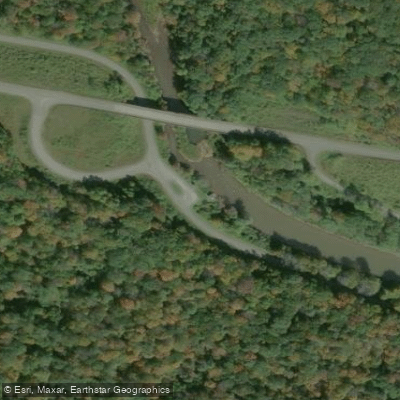
See exactly where the public can get on and off the river. Launch points and boat ramps are paired with PaddleWays' public land data so you know where you can legally land.
Public shoreline
93%of the river's shoreline is public
Flows, weather and a route-by-route verdict, so you know which stretch of the Williams River is worth paddling today.
Live flows, marked hazards and fresh trip reports from paddlers who were just on the water, all in one place.





Every user gets free access to launch points, boat ramps, and public property parcels.

Loading popular cities...
PaddleWays gives you everything you need to plan smarter, paddle better, and own every trip from first launch to takeout.