Des Plaines River
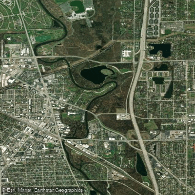
Des Plaines River
- Boat Ramps
- 16
- Access Points
- 23
- Campsites
- 10
The Des Plaines River is a significant waterway that flows through northeastern Illinois, offering paddlers a journey through both urban and natural landscapes. Beginning in Wisconsin and flowing south for approximately 133 miles, the river passes through Lake County and Cook County before joining the Kankakee River to form the Illinois River.
Paddling opportunities on the Des Plaines River cater to a wide range of skill levels, with most sections classified as flatwater and suitable for beginners and families. The river is divided into several notable sections, each with its own character. In the northern reaches, the Russell Road to Wadsworth Road stretch offers a peaceful 6.25-mile paddle through open wetlands and forest preserves. Further south, the Wadsworth to Oak Spring Road section provides a longer 13.8-mile journey, while the Mid-County Libertyville Section near Independence Grove Forest Preserve is ideal for shorter trips.
The river's difficulty is generally mild, with calm waters prevailing throughout most sections. However, paddlers should be prepared for occasional obstacles such as beaver dams and logjams, which may require portaging. One notable exception is the Fishnet Rapids section near Lockport, which offers class II-III whitewater over a short 0.75-mile stretch, providing a thrilling experience for more advanced paddlers.
Water levels on the Des Plaines can be quite changeable, heavily influenced by recent precipitation. As such, it's advisable to check conditions with local authorities or paddling shops before embarking on a trip. The best times to paddle are typically late spring through early fall, though each season offers its own unique perspective on the river's ecosystem.
The Des Plaines River corridor is home to a rich variety of wildlife. Paddlers may encounter deer, foxes, beavers, and numerous bird species, including great blue herons, egrets, and even bald eagles. The river flows through a mix of urban areas, wetlands, and forest preserves, providing diverse habitats and scenic views.
Several notable landmarks dot the river's course, including the Isle a la Cache museum near Romeoville, which offers insight into the area's fur-trading history. The river also passes by numerous forest preserves and parks, many of which provide convenient access points and recreational facilities.
Key towns along the Des Plaines River include Wadsworth, Gurnee, Libertyville, Des Plaines, and Joliet. These communities, along with the Lake County and Cook County Forest Preserve Districts, maintain multiple well-equipped canoe launches and access points, making it easy for paddlers to plan trips of varying lengths.
Historically, the Des Plaines River played a crucial role in the development of the region, serving as an important transportation route for Native Americans and early European explorers. Today, it continues to be a vital natural resource and recreational asset for the communities it passes through.
Safety considerations on the Des Plaines River include being aware of changing water levels, watching for submerged obstacles, and respecting private property along the shoreline. Paddlers should always wear life jackets and be prepared for variable weather conditions. It's also worth noting that several low-head dams have been removed in recent years as part of river restoration efforts, which has improved both safety and the river's ecological health.
While most paddlers enjoy day trips on the Des Plaines, the river's length and numerous access points make multi-day adventures possible for those seeking a more immersive experience. A popular option is to combine sections in Lake County, such as paddling from Russell Road all the way to Independence Grove over two or three days.
The Des Plaines River offers a unique blend of natural beauty and accessibility, making it a cherished paddling destination for both locals and visitors to the Chicago area. Whether you're seeking a short, leisurely float or a more extended journey, the Des Plaines River provides a diverse array of paddling experiences suitable for all skill levels.
Water access, boat ramps & amenities
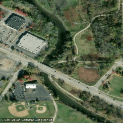
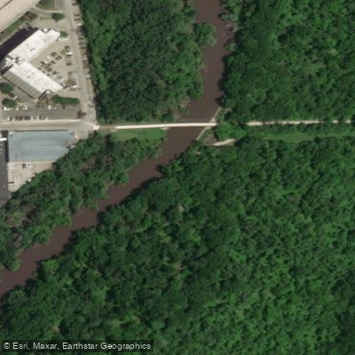
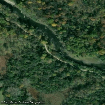
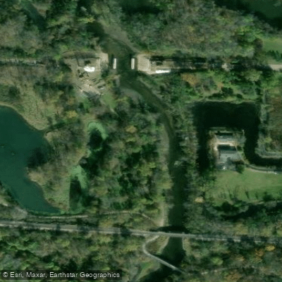
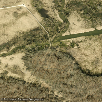
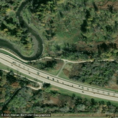
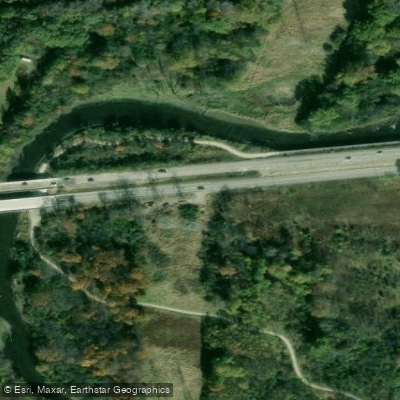
Learn how to get on Des Plaines River. Uncover great paddling access points, boat ramps, and all the facilities you need for an unforgettable day on the water. Some locations shown may border or include private property. Always check property boundaries and applicable regulations before visiting. PaddleWays's Public & Private Land layer can help you plan your access with confidence.
Paddle smarter with real-time insights
Whether you're en route and conditions shift or you're looking for the best spot based on current flows, we enable you to make informed decisions on the fly.








Find Places to Paddle

Over 400,000 Places to Paddle
Every user gets free access to launch points, boat ramps, and public property parcels.


Water and weather conditions (10 day forecast)
See the best times to paddle Des Plaines River and check the forecast before you go.
DES PLAINES RIVER AT RUSSELL, IL
All Flow Stations
Paddling near Des Plaines River

Lake Michigan
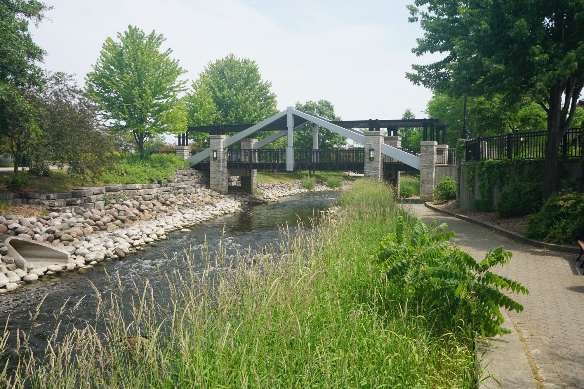
Fox River
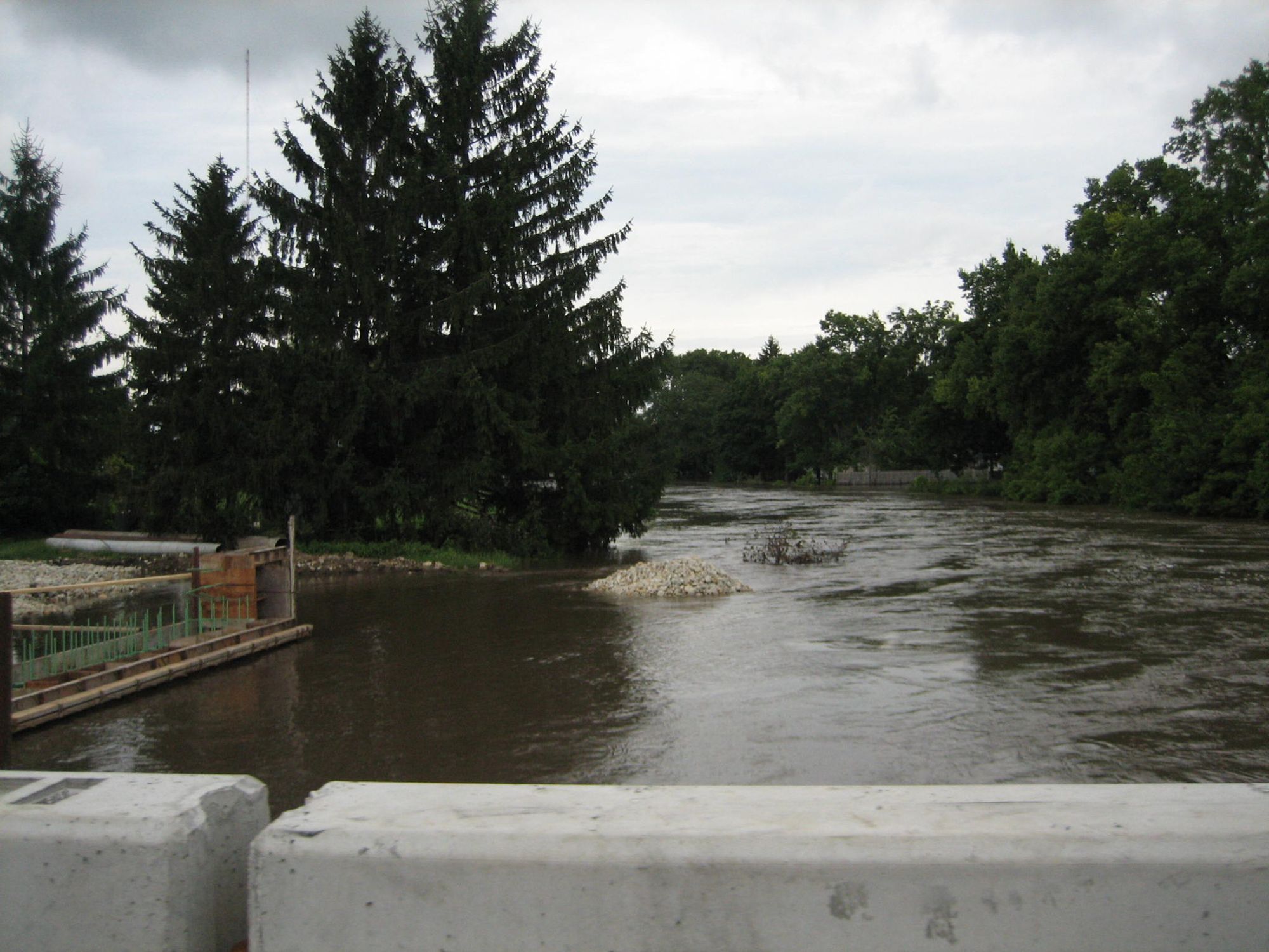
Kishwaukee River
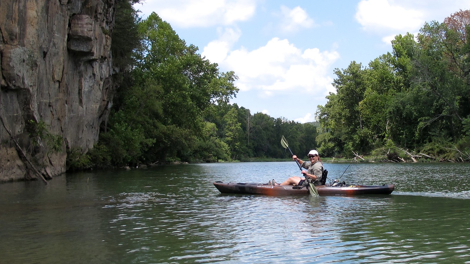
Illinois River
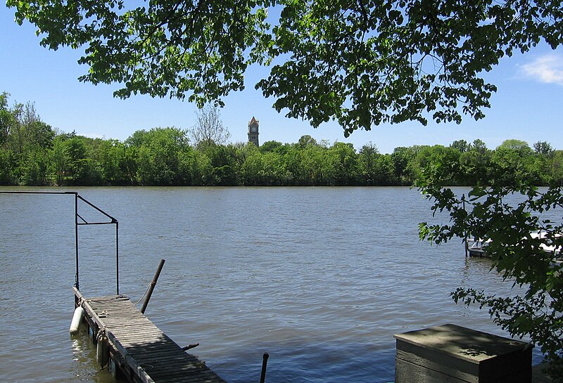
Kankakee River
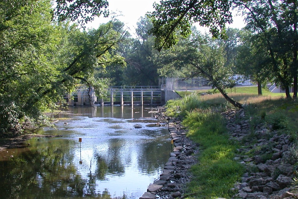
Root River
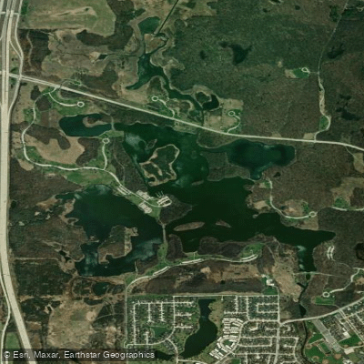
South Pool
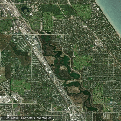
Skokie Lagoons
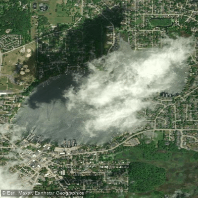
Bangs Lake
Explore Wisconsin waters
Top paddling waters
Popular Cities
Loading popular cities...
Explore near Des Plaines River
Access points
- Northwestern Woods Canoe Landing Boat Ramp
- Allison Wood Boat Ramp
- Oak Spring Road Boat Ramp
- Riverside Park Boat Ramp
- Rivershire Park Boat Ramp
- Maywood Grove Canoe Landing Boat Ramp
- Independence Grove Boat Ramp
- Gowe Memorial Park Boat Ramp
- Plank Road Meadow Boat Ramp
- Columbia woods Boat Ramp
- Irving Park Road Canoe Landing Boat Ramp
- Wadsworth Boat Ramp
- All 214 spots
Nearby waters
More in Wisconsin

Smarter Paddling Starts in the App.
Paddleways gives you everything you need to plan smarter, paddle better, and own every trip from first launch to takeout.