Curated by PaddleWays
Embarrass River
- River · Class II–III
- 2 hazards marked
Embarrass River
- River · Class II–III
- 2 hazards marked
- River length
- 62 mi
- Curated routes
- 2
- Hazards marked
- 2
- Public shoreline
- 1%
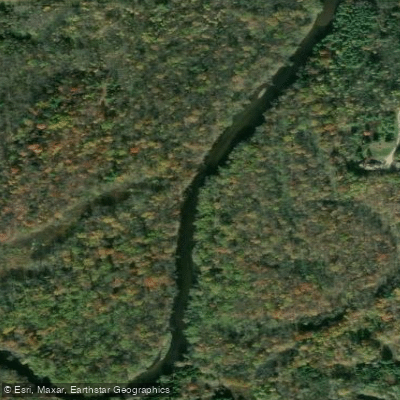
The Embarrass River is a dynamic waterway in northeastern Wisconsin, originating in Shawano County and flowing generally southeast before joining the Wolf River near New London. This 76-mile long river drains a watershed of approximately 384 square miles, with major tributaries including the North and South Branches.
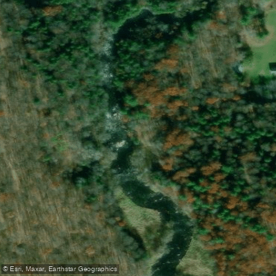
Paddlers will find a range of experiences on the Embarrass, from placid flatwater sections to challenging whitewater. The upper reaches offer technical Class II-III rapids, particularly in the Tigerton Dells area of the South Branch. Here, a 2.4-mile stretch features continuous rapids winding through a scenic landscape of rocky outcrops. Downstream, the Middle Branch presents a more demanding Class III-IV run with multiple portages often required. As the river approaches New London, it transitions to a quieter character suitable for novice paddlers and scenic floats.
Water levels fluctuate seasonally, with spring typically offering the most reliable flows for whitewater enthusiasts. Late summer and fall provide pleasant conditions for flatwater trips, though deadfall can be an issue in narrower sections.
The Embarrass flows through a mix of forests, wetlands and agricultural areas, supporting diverse wildlife including bald eagles, otters, and numerous fish species. Paddlers may encounter white-tailed deer and sandhill cranes along the shoreline.
Key landmarks include Hayman Falls County Park near Pella, offering a short but exciting Class III rapid, and the historic mill town of Embarrass. Multiple access points allow for trips of varying lengths, with popular put-ins at Highway 45 and take-outs in New London.
The river played a significant role in the logging industry of the late 19th century, with remnants of this heritage still visible along some stretches. Today, it offers a blend of wilderness experience and rural charm, though paddlers should be aware of occasional low-head dams and swift currents in high water.
For multi-day adventures, camping is possible on sandbars and public lands, though options are limited. Paddlers attempting longer trips should be prepared for potential portages and variable conditions. Overall, the Embarrass River provides a rewarding paddling destination for a range of skill levels, showcasing the natural beauty and history of northeastern Wisconsin.
Curated routes
Popular routes to paddle
Hand-picked by the PaddleWays team, with put-ins, take-outs, paddle times and the hazards along the way.
Curated by PaddleWays
Hazards
Hazards on Embarrass River
No paddler has reported a hazard here yet, so these are the dams, falls and big rapids on our map. Hazards change with flows and storms, so check them before you launch.
From the community
Embarrass River trip reports
Nobody has shared a trip on Embarrass River yet. Paddle it, then tell the next paddler how it went.
Water access & public shoreline
See exactly where the public can get on and off the river. Launch points and boat ramps are paired with PaddleWays' public land data so you know where you can legally land.
Public shoreline
1%of the river's shoreline is public
- Public
- 1%
- Private
- 99%
Largest public stretches
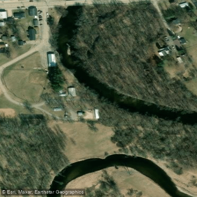
- Cowyard Rips State Habitat Area
- Pfeifer Park
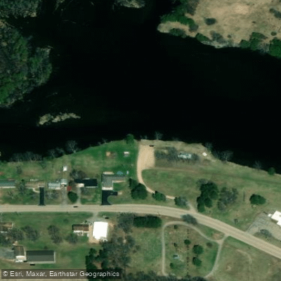
- Lower Wolf River Bottomlands Natural Resource Area
Most of the riverbank is private. Launch, land and camp only at public access points.
Flows & paddling conditions (10 day forecast)
Flows, weather and a route-by-route verdict, so you know which stretch of the Embarrass River is worth paddling today.
EMBARRASS RIVER NEAR EMBARRASS, WI
Loading flow chart…
Latest
10 yr average
All Flow Stations
Paddle smarter with real-time insights
Live flows, marked hazards and fresh trip reports from paddlers who were just on the water, all in one place.







Find Places to Paddle

Over 400,000 Places to Paddle
Every user gets free access to launch points, boat ramps, and public property parcels.



Paddling near Embarrass River
Lake Winnebago
Wisconsin
43 miles away
Fox River
Wisconsin
45.3 miles away
Lake Michigan
Illinois, Indiana, Michigan, Wisconsin
95.2 miles away
Wolf River
Wisconsin
20.2 miles away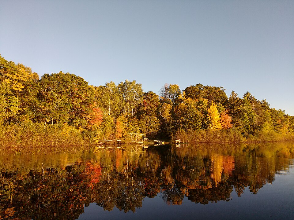
Silver Lake
Wisconsin
45.5 miles away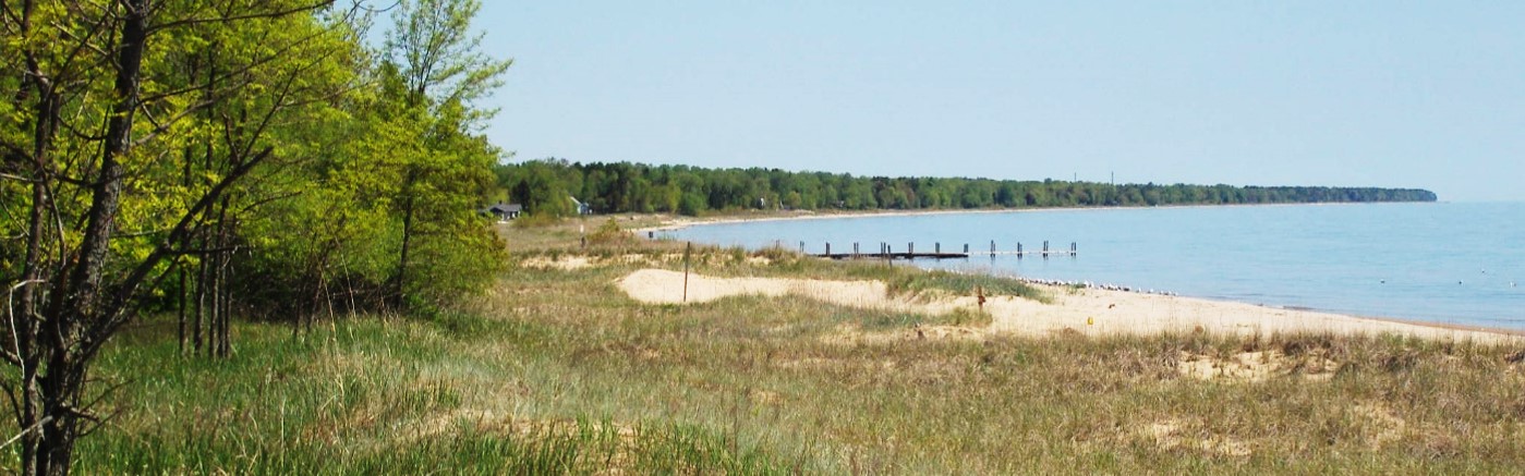
Sheboygan River
Wisconsin
61.1 miles away
Oconto River
Wisconsin
31.3 miles away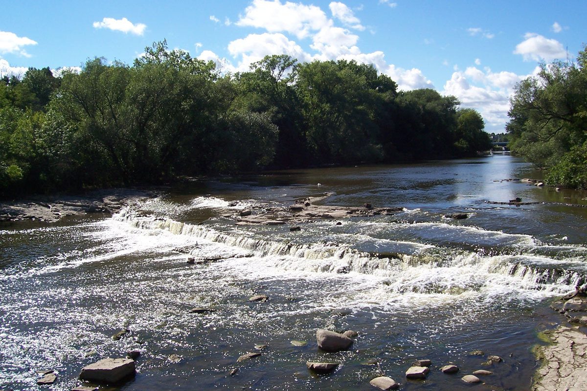
Milwaukee River
Wisconsin
86.6 miles away
Red River
Wisconsin
23 miles away
Little Lake Butte Des Morts
Wisconsin
28.9 miles awayExplore Wisconsin waters
Top paddling waters
Popular Cities
Loading popular cities...
Explore near Embarrass River
Paddling routes
Access points
Nearby waters
More in Wisconsin

Smarter Paddling Starts in the App.
PaddleWays gives you everything you need to plan smarter, paddle better, and own every trip from first launch to takeout.