Lake Michigan

Lake Michigan
- Boat Ramps
- 154
- Access Points
- 165
- Campsites
- 93
Lake Michigan offers diverse paddling experiences along its 1,638-mile shoreline spanning four states. The sixth-largest freshwater lake in the world, it features both urban and secluded paddling opportunities. Access points include developed sites with boat ramps and carry-in beach launches. Popular areas include Indiana Dunes National Lakeshore, Petoskey State Park, and Door County, Wisconsin.
Safety is paramount when paddling Lake Michigan. Its vast size can create large waves and dangerous conditions, especially in high winds. Paddlers should always wear a PFD, check marine forecasts, and be prepared for cold water immersion. Water temperatures range from 33°F in March to 77°F in August. Upwelling events can cause rapid temperature changes.
The lake offers stunning natural features like the colorful Pictured Rocks cliffs, sea caves at Cave Point County Park, and the Sleeping Bear Dunes. Wildlife sightings may include migratory birds and fish. Paddlers can explore shipwrecks in some areas.
Late spring through early fall is the most popular paddling season. Early morning paddles are recommended to avoid afternoon winds and boat traffic. Multi-day trips are possible with campgrounds available along some shorelines.
Paddlers should be aware of commercial shipping lanes and avoid them. No permit is required for non-motorized kayaks. The Lake Michigan Water Trail provides detailed maps and information on access points and facilities.
Lake Michigan's aesthetic ranges from urban skyline views near Chicago to pristine wilderness areas. Water quality is generally good, though some urban areas may have localized issues. The lake's cultural significance includes its role in regional maritime history and commerce.
Water access, boat ramps & amenities
Learn how to get on Lake Michigan. Uncover great paddling access points, boat ramps, and all the facilities you need for an unforgettable day on the water. Some locations shown may border or include private property. Always check property boundaries and applicable regulations before visiting. PaddleWays's Public & Private Land layer can help you plan your access with confidence.
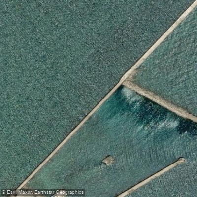
L. Michigan Access
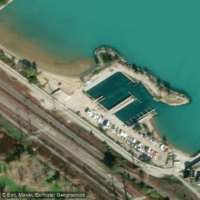
Lake Michigan Access
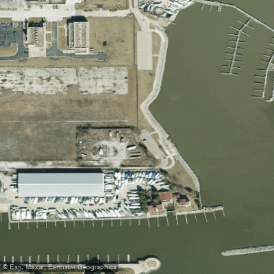
Racine Harbor Access
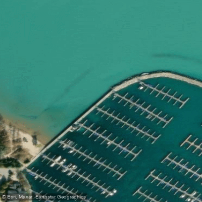
Lake Michigan Access
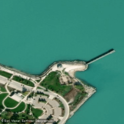
Whiting Park Access
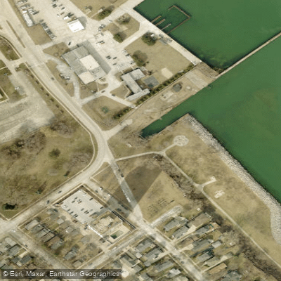
Cupertino Pier
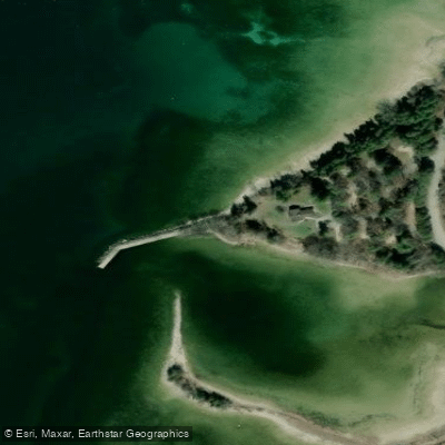
Weborg Pier
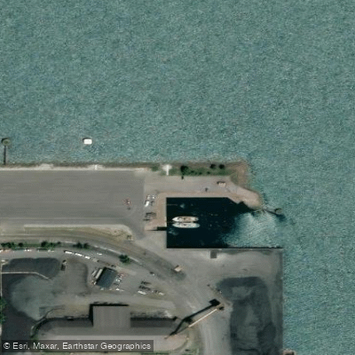
Port of Indiana Access
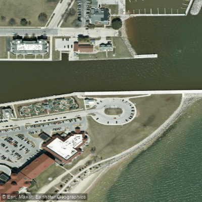
South Pier Access
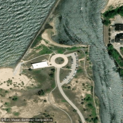
Portage Lakefront Park Access
Paddle smarter with real-time insights
Whether you're en route and conditions shift or you're looking for the best spot based on current flows, we enable you to make informed decisions on the fly.








Find Places to Paddle

Over 400,000 Places to Paddle
Every user gets free access to launch points, boat ramps, and public property parcels.


Water and weather conditions (10 day forecast)
See the best times to paddle Lake Michigan and check the forecast before you go.
LAKE MICHIGAN AT JACKSON PARK AT HYDE PARK, IL
All Flow Stations
Paddling near Lake Michigan
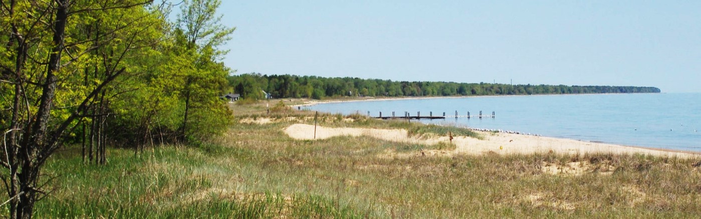
Sheboygan River
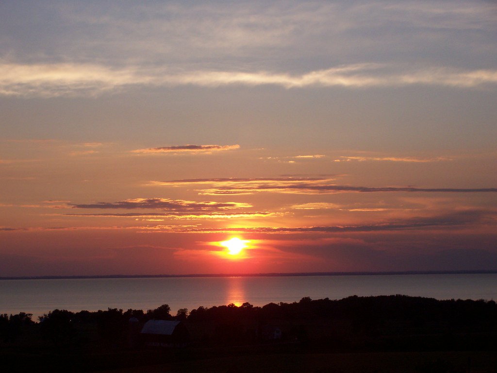
Lake Winnebago
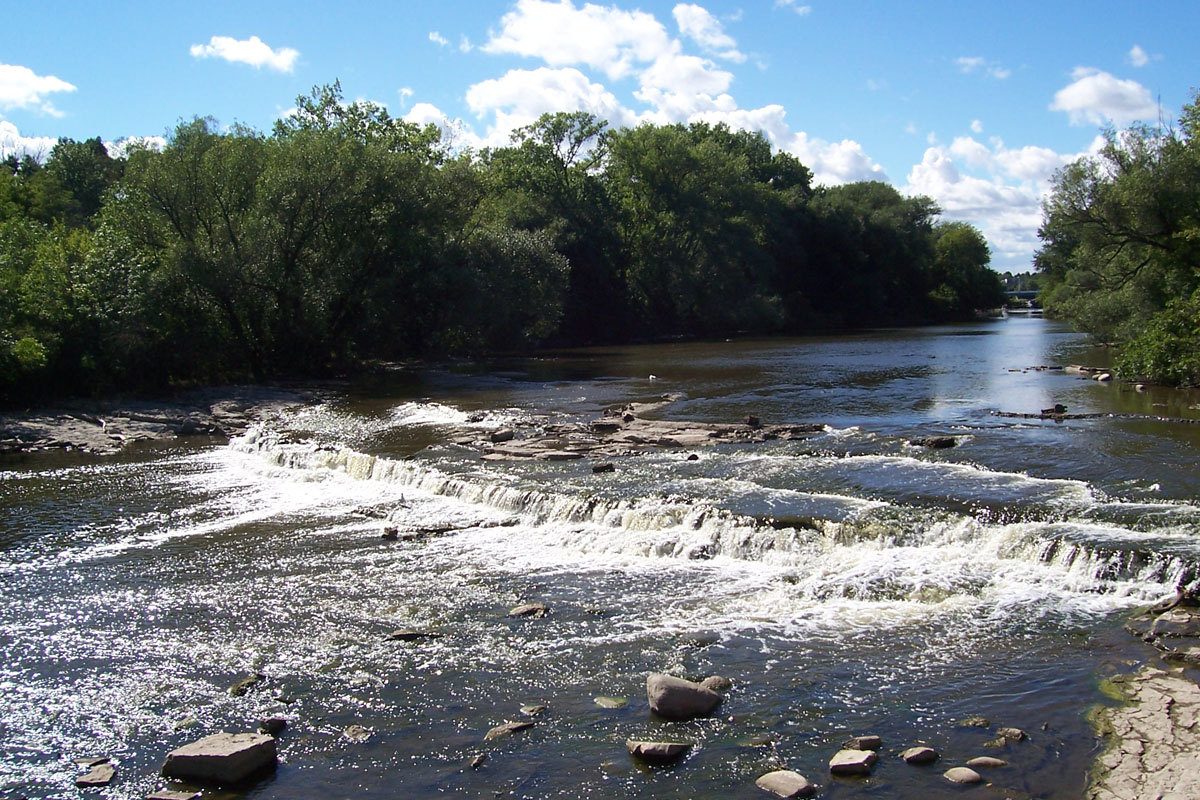
Milwaukee River
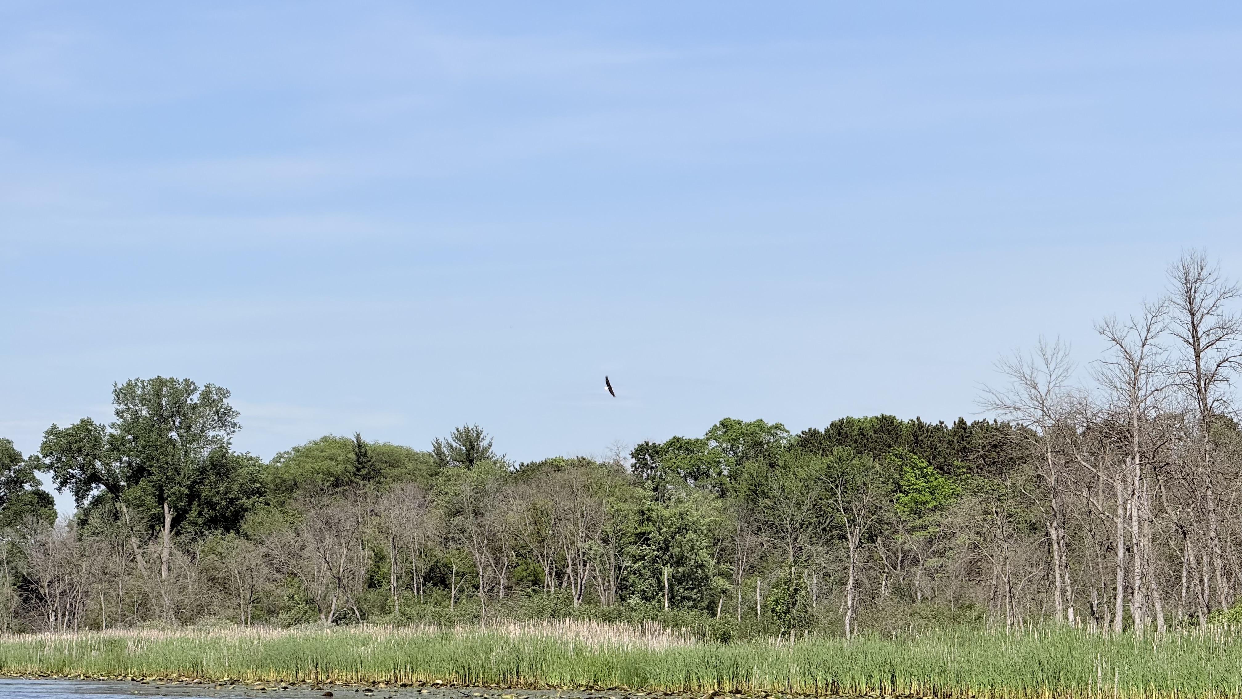
Fox River

Rock River
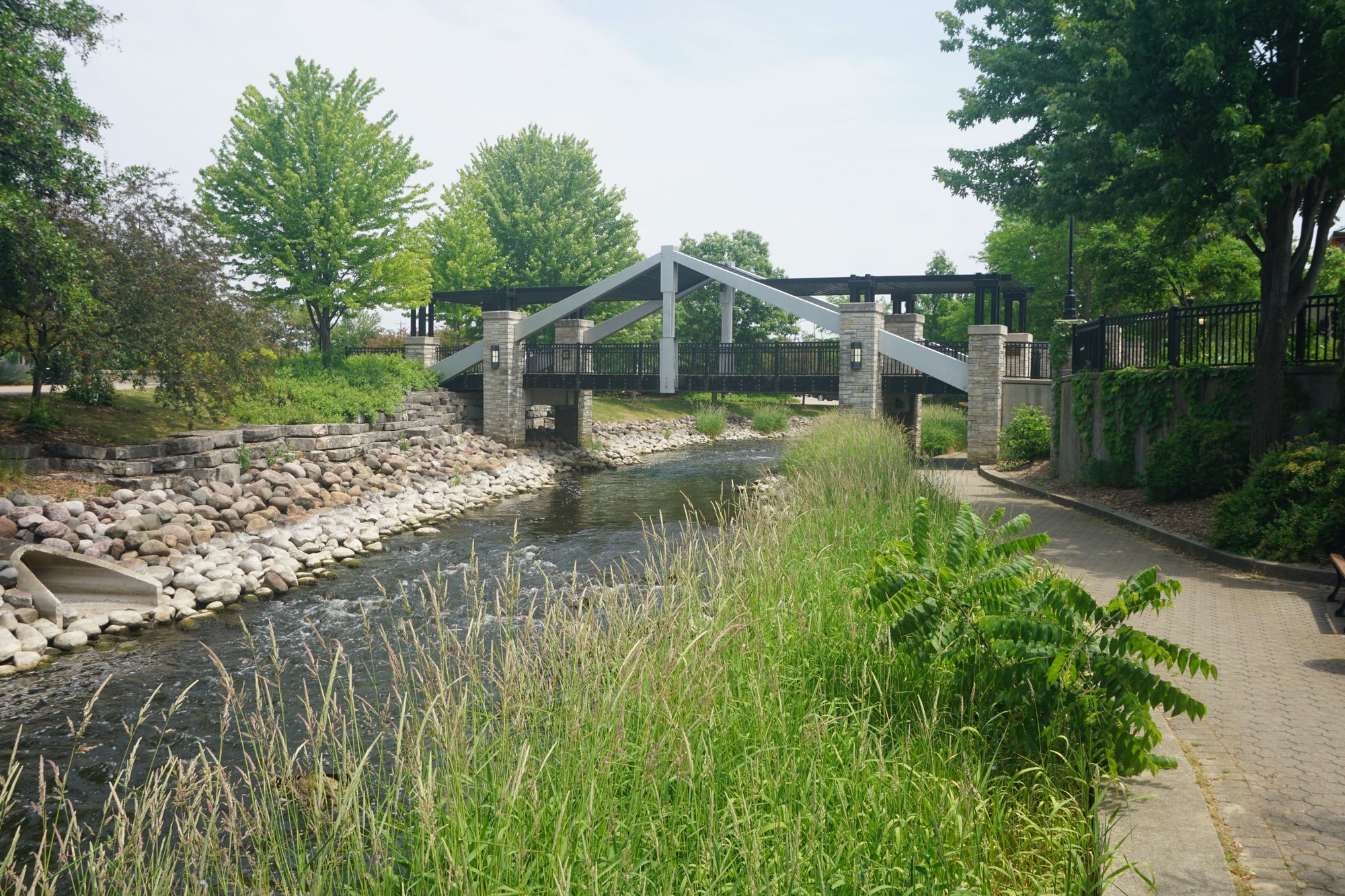
Fox River
Bark River
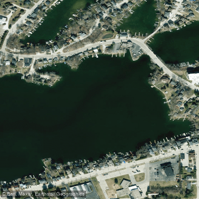
Oconomowoc River
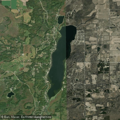
Long Lake
Explore Wisconsin waters
Top paddling waters
Popular Cities
Loading popular cities...
Explore near Lake Michigan
Access points
Nearby waters
More in Wisconsin

Smarter Paddling Starts in the App.
Paddleways gives you everything you need to plan smarter, paddle better, and own every trip from first launch to takeout.