Rock Lake
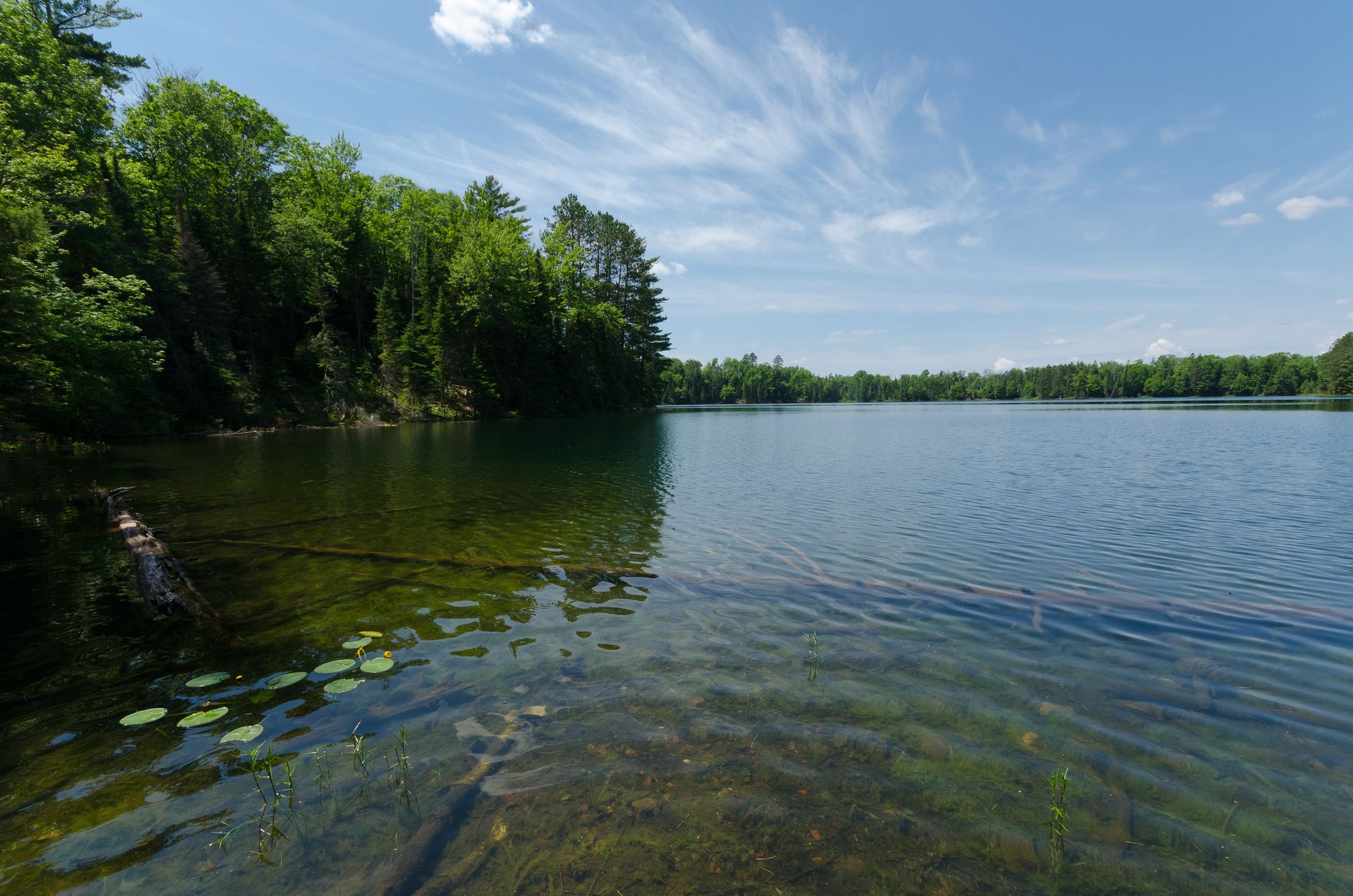
Rock Lake
- Boat Ramps
- 6
- Access Points
- 7
- Campsites
- 1
Rock Lake is a 1,365-acre spring-fed lake located in Jefferson County, Wisconsin, near the city of Lake Mills. With a maximum depth of 60 feet and an average depth of 16 feet, it offers clear water and diverse paddling opportunities across its varied landscape.
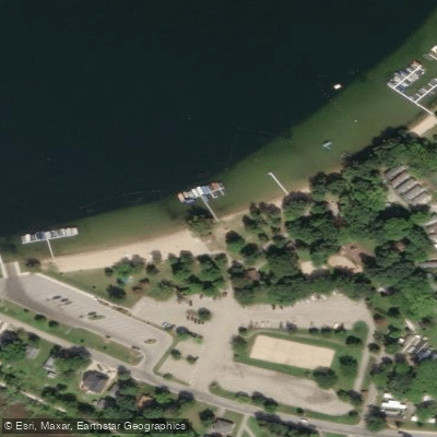
**Access Points:** Multiple public launches provide convenient water access. The primary facilities include Rock Lake Park (Lower) on Highway B at the north end with parking and restrooms, Sandy Beach on the southeastern shore with full amenities and boat rentals, Bartel's Beach also on the southeast side, Tyranena Park on the northeast shore, and Elm Point Landing on the southwest end. Most launches charge a fee. Ferry Park Landing (northwest) and the Rock Lake Millpond Access (east end) offer additional entry points. The southern portion, known as Marsh Lake, connects via the Glacial Drumlin State Trail and features cattail-lined shores with DNR public land access.
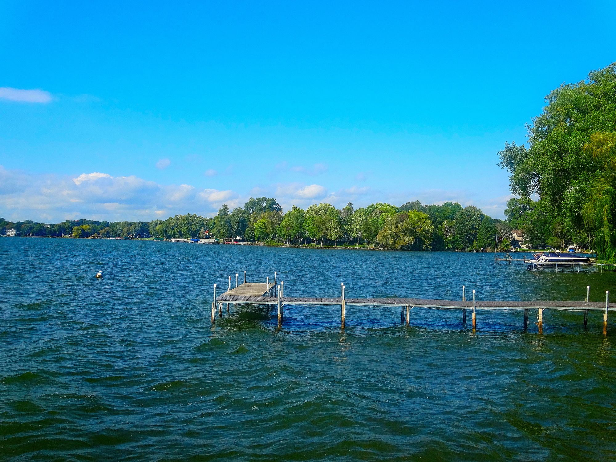
**Character and Scenery:** The lake's character varies significantly by location. The eastern shore features rocky terrain with steeper drop-offs and residential development, while the western shore offers shallow, macrophyte-dominated waters ideal for exploring. The southern Marsh Lake section provides excellent wildlife viewing opportunities in a more natural setting. Early morning paddling is recommended before powerboat activity increases, as the lake is popular with recreational boaters and water-skiers.
**Wildlife:** Rock Lake supports abundant birdlife including waterfowl, herons, and marsh wrens, particularly around Marsh Lake's cattail islands. The diverse aquatic vegetation attracts numerous fish species, making it a popular fishing destination for walleye, northern pike, bass (both largemouth and smallmouth), bluegill, and perch.
**Notable Features:** Rock Lake is famous for mysterious underwater rock formations sometimes called "pyramids," though their origins remain debated. The lake's proximity to historic Aztalan State Park and downtown Lake Mills adds cultural interest to any paddling excursion.
Water access, boat ramps & amenities
Learn how to get on Rock Lake. Uncover great paddling access points, boat ramps, and all the facilities you need for an unforgettable day on the water. Some locations shown may border or include private property. Always check property boundaries and applicable regulations before visiting. PaddleWays's Public & Private Land layer can help you plan your access with confidence.
Paddle smarter with real-time insights
Whether you're en route and conditions shift or you're looking for the best spot based on current flows, we enable you to make informed decisions on the fly.








Find Places to Paddle

Over 400,000 Places to Paddle
Every user gets free access to launch points, boat ramps, and public property parcels.


Water and weather conditions (10 day forecast)
See the best times to paddle Rock Lake and check the forecast before you go.
No forecast data available.
Paddling near Rock Lake

Rock River
Lake Monona
Bark River
Lake Mendota
Oconomowoc River
Fox River

Lake Michigan
Lake Wisconsin
Lake Winnebago
Explore Wisconsin waters
Top paddling waters
Popular Cities
Loading popular cities...
Explore near Rock Lake
Access points
Nearby waters
More in Wisconsin

Smarter Paddling Starts in the App.
Paddleways gives you everything you need to plan smarter, paddle better, and own every trip from first launch to takeout.