Lake Wisconsin
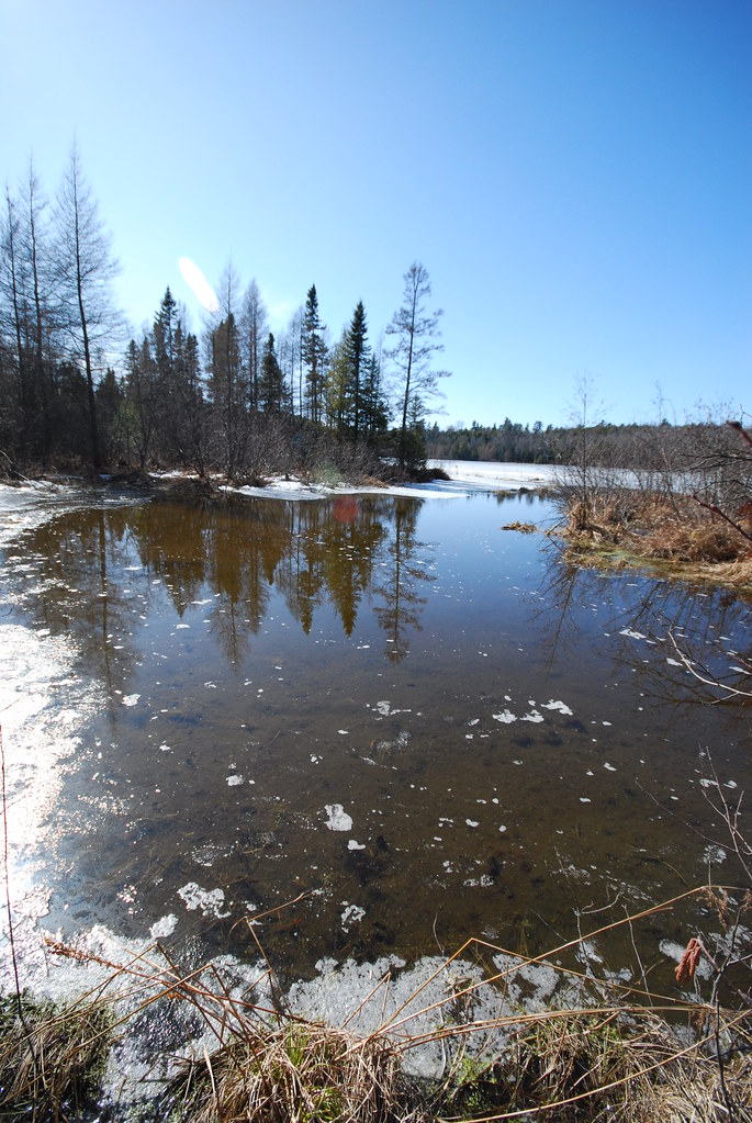
Lake Wisconsin
- Boat Ramps
- 13
- Access Points
- 17
- Campsites
- 3
Lake Wisconsin offers paddlers a scenic experience with opportunities to explore quiet bays and observe wildlife. The lake features many small inlets and Gallus Slough, known for its shallow waters and abundance of wildlife including beavers and pelicans. Wind on the open lake can generate larger waves, presenting a challenge for less experienced paddlers.
For safety, it's recommended to stay near the shoreline and only cross the lake at the railroad bridge where there is a narrow channel for boats. Paddlers should be aware of powerboats and jet skis, particularly in open areas. The north side of the lake provides a suggested paddle trip, taking kayakers into Gallus Slough and along the shoreline to the Merrimac Free Ferry crossing.
A small park near the ferry offers a spot to stop for a picnic lunch. Paddlers can also observe the ferry from the water and potentially walk to a nearby ice cream shop. The trip from Gallus Slough to the ferry crossing and back makes for an enjoyable day paddle.
Lake Wisconsin connects to the Wisconsin River, which features sandstone bluffs and islands where camping is permitted without a permit. This allows for multi-day paddling trips for those looking to extend their adventure beyond the lake itself.
The lake's connection to the Wisconsin River system means it experiences typical Midwestern seasonal patterns, with warmer waters in summer and potential ice coverage in winter. Paddlers should check current conditions and weather forecasts before embarking on any trip.
Water access, boat ramps & amenities
Learn how to get on Lake Wisconsin. Uncover great paddling access points, boat ramps, and all the facilities you need for an unforgettable day on the water. Some locations shown may border or include private property. Always check property boundaries and applicable regulations before visiting. PaddleWays's Public & Private Land layer can help you plan your access with confidence.
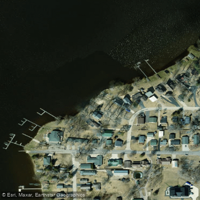
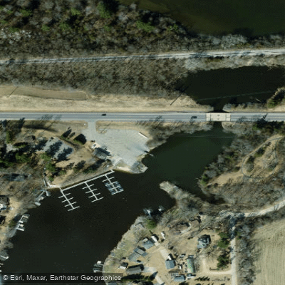
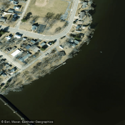
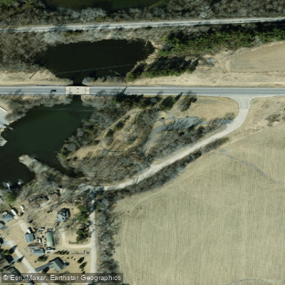
Paddle smarter with real-time insights
Whether you're en route and conditions shift or you're looking for the best spot based on current flows, we enable you to make informed decisions on the fly.








Find Places to Paddle

Over 400,000 Places to Paddle
Every user gets free access to launch points, boat ramps, and public property parcels.


Water and weather conditions (10 day forecast)
See the best times to paddle Lake Wisconsin and check the forecast before you go.
No forecast data available.
Paddling near Lake Wisconsin
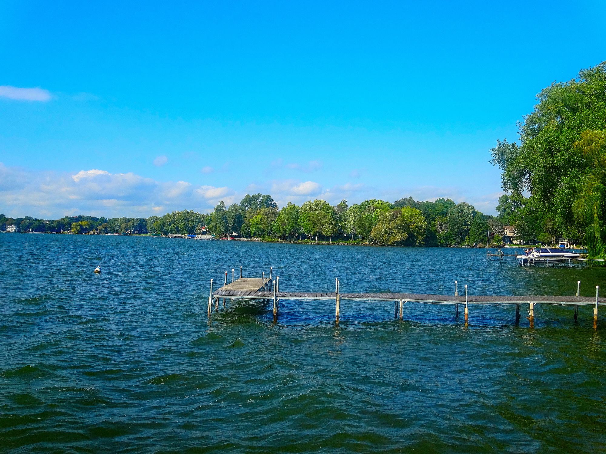
Lake Mendota
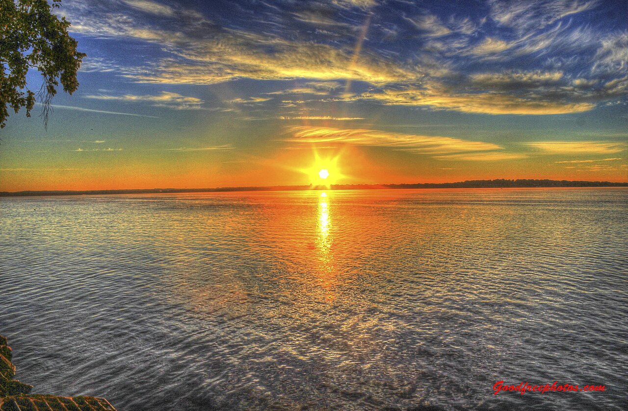
Lake Monona
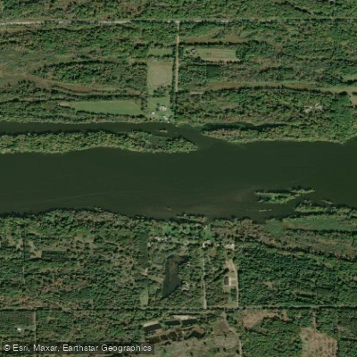
Wisconsin River
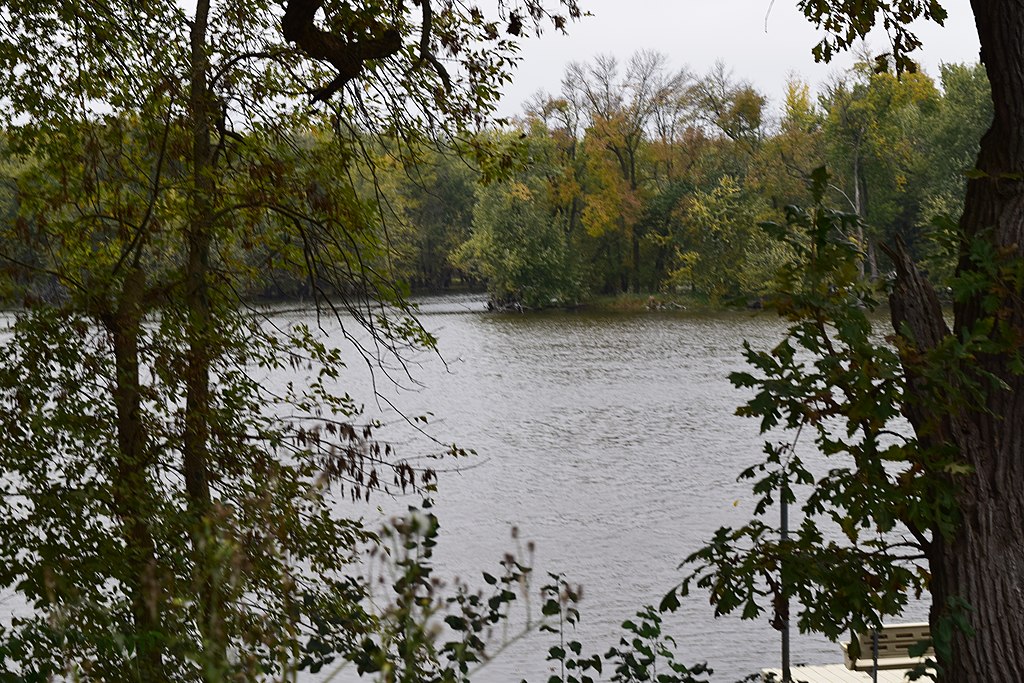
Yahara River
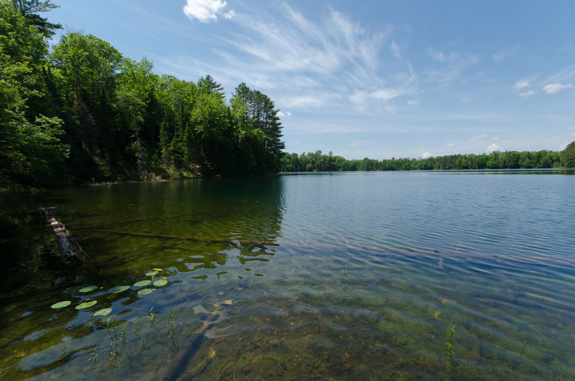
Rock Lake

Rock River
Fox River
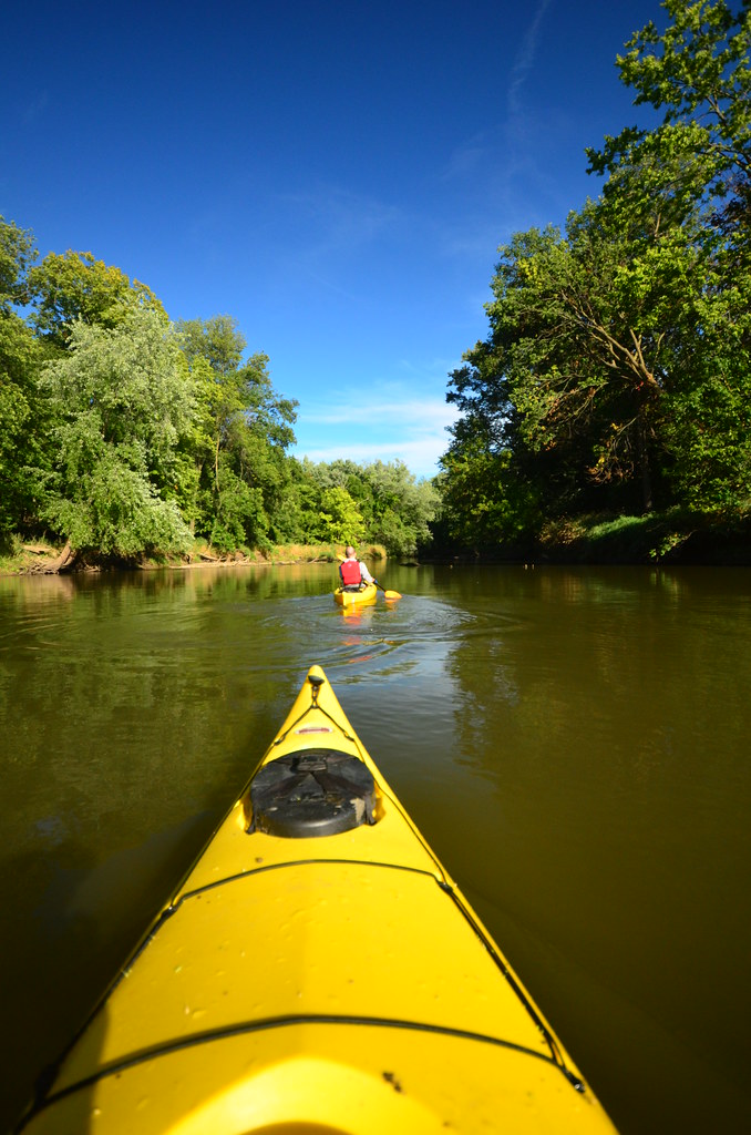
Baraboo River
Bark River
Explore Wisconsin waters
Top paddling waters
Popular Cities
Loading popular cities...
Explore near Lake Wisconsin
Access points
Nearby waters
More in Wisconsin

Smarter Paddling Starts in the App.
Paddleways gives you everything you need to plan smarter, paddle better, and own every trip from first launch to takeout.