Curated by PaddleWays
RouteFlatwater
- Distance
- 4.3 mi
- Paddle time
- ~1.5 hrs
- Best for
- Kayak, canoe
- Put-in → take-out
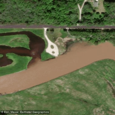
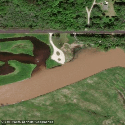
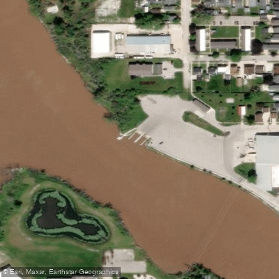
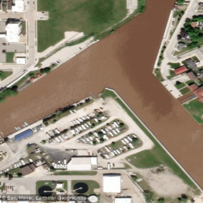
- West Twin River Boat Ramp → Vets Park And Boat Launch
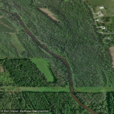
The West Twin River is a significant waterway in eastern Wisconsin, originating in Manitowoc County and flowing southeastward to empty into Lake Michigan. It forms part of the Twin Rivers watershed, alongside its counterpart, the East Twin River. The West Twin stretches approximately 30 miles, carving through the glacial till of the region before reaching its confluence with Lake Michigan near the city of Two Rivers.
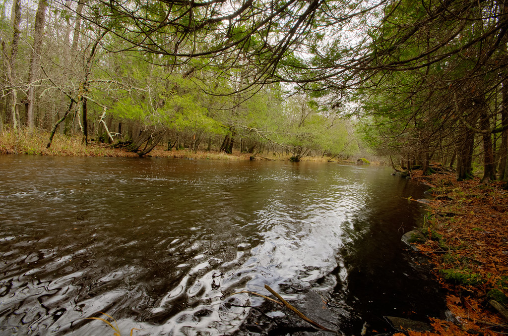
Paddlers on the West Twin River can experience a range of conditions, from placid flatwater sections to more challenging whitewater. The lower stretch, part of the Twin Rivers Water Trail, offers a serene 5.25-mile journey from the West Twin River Boat Ramp to Lake Michigan. This section is ideal for novice paddlers and fishing enthusiasts, with multiple access points allowing for flexible trip planning.
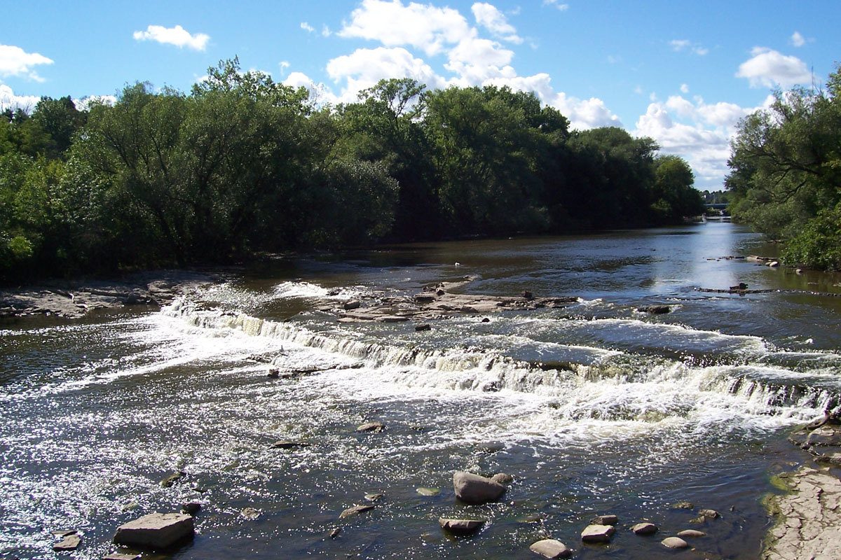
For those seeking more excitement, the upper reaches of the West Twin River present Class I-II rapids, with occasional Class III features during high water. The 3.5-mile section from Zander Road to Highway 147 boasts an average gradient of 15 feet per mile, providing a mix of easy rapids and more technical challenges. The river's flow is typically most reliable in spring and early summer, with water levels often dropping by late summer. Paddlers should check current conditions, using the Kewaunee River gauge as a reference for flow rates.
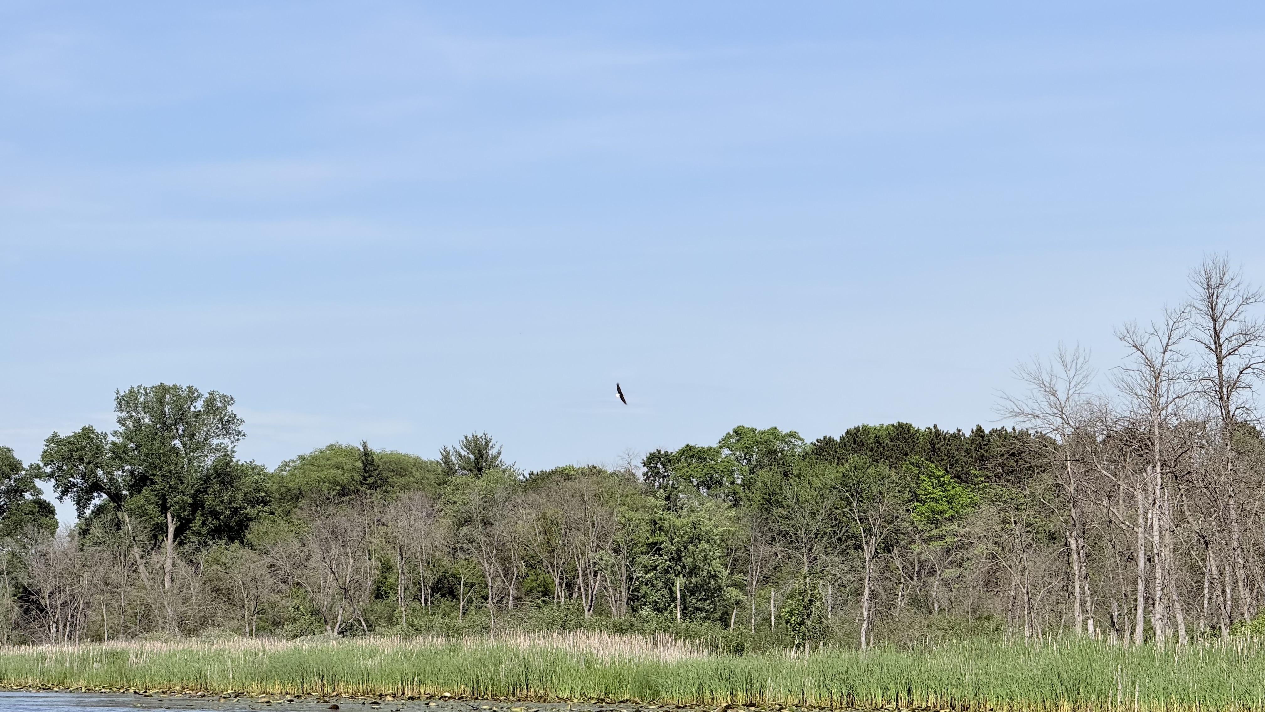
The West Twin River corridor supports a diverse ecosystem, home to various fish species and serving as a crucial migratory route for birds. Paddlers may spot bald eagles, great blue herons, and numerous waterfowl species along their journey.
Key access points include the West Twin River Boat Ramp in Manitowoc County, offering easy entry for both upstream and downstream adventures. Paddlers can explore upstream to the Neshoto Dam and Shoto Lake or continue downstream towards Lake Michigan.
The river holds historical significance as a transportation route for early settlers and indigenous peoples. Today, it plays a vital role in the region's recreational offerings and ecological health.
Safety considerations include being prepared for changing weather conditions, especially near Lake Michigan, and understanding the river's flow patterns. Paddlers should be aware of potential strainers and logjams, particularly in less-traveled upper sections.
While primarily suited for day trips, the Twin Rivers Water Trail system, encompassing both the West and East Twin Rivers, offers opportunities for multi-day adventures for those wishing to explore the broader watershed and nearby Lake Michigan shoreline.
Curated routes
Hand-picked by the PaddleWays team, with put-ins, take-outs, paddle times and the hazards along the way.
RouteFlatwater
Hazards
No paddler has reported a hazard here yet, so these are the dams, falls and big rapids on our map. Hazards change with flows and storms, so check them before you launch.
From the community
Nobody has shared a trip on West Twin River yet. Paddle it, then tell the next paddler how it went.
See exactly where the public can get on and off the river. Launch points and boat ramps are paired with PaddleWays' public land data so you know where you can legally land.
Public shoreline
2%of the river's shoreline is public
Most of the riverbank is private. Launch, land and camp only at public access points.
Flows, weather and a route-by-route verdict, so you know which stretch of the West Twin River is worth paddling today.
No forecast data available.
Live flows, marked hazards and fresh trip reports from paddlers who were just on the water, all in one place.





Every user gets free access to launch points, boat ramps, and public property parcels.


Loading popular cities...
PaddleWays gives you everything you need to plan smarter, paddle better, and own every trip from first launch to takeout.