Paddling in Los Alerces National Park
- National Park
- Lakes
- 14
- Rivers
- 25
- Access
- 0
- Boat Ramps
- 4
- Shops
- 0
Los Alerces National Park sits in the Andes of Chubut Province, about 30 kilometers from Esquel, along the Argentine-Chilean border.
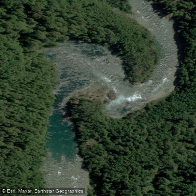
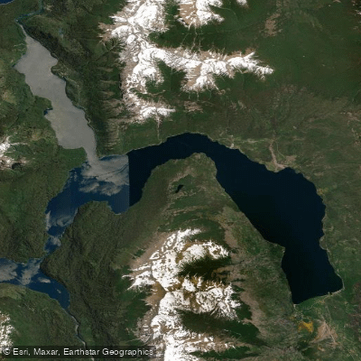
The park is built around water — a complex system of glacially carved lakes connected by rivers and channels, all of it clear, cold, and set against dense Valdivian forest.
The paddling here is almost entirely flatwater: long lake crossings, slow rivers threading between lakes, and routes that reach places no trail does.
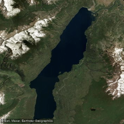
The anchor of the system is Lago Futalaufquen, the largest and most accessible lake in the park, with silver-blue water and mountain ranges rising from its shores.
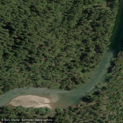
From Futalaufquen, the Río Arrayanes — slow and deep — flows to Lago Verde, making it a natural first leg for multi-day kayak expeditions.
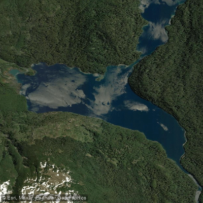
Lago Verde in turn connects by a short portage or path to Lago Menéndez, whose blue-green water leads northwest toward the Brazo Norte and the ancient alerce forests that gave the park its name.
Lago Rivadavia lies to the north, with at least one outfitter using it as an overnight stop on longer traverses. Lago Krügger and Lago Verde round out the chain that multi-day routes typically thread.
Guided expeditions of four to six days paddle this lake chain end to end, with a mix of cabin, hostería, and wilderness camping nights.
Guides operating inside the park carry authorization from the park administration; the park entrance fee is paid separately upon arrival.
The UNESCO World Heritage designation — granted in 2017 — shapes how the park is managed, and the administration is actively working through policy around paddling access and facilities.
Check current rules directly with the park before planning an overnight water route. The Patagonian weather is real here: cold, wind-driven rain can arrive fast, and the lakes are large enough to build serious chop.
That's not a reason to stay off the water — it's a reason to read conditions in the morning and know your boat. The reward for doing it right is access to a 259,000-hectare roadless interior that most visitors never see from the water.
Top waters to paddle near Los Alerces National Park



Water and weather conditions (10 day forecast)
See the best times to paddle Los Alerces National Park and check the forecast before you go.
No forecast data available.
Paddle smarter with real-time insights
Whether you're en route and conditions shift or you're looking for the best spot based on current flows, we enable you to make informed decisions on the fly.







Paddling near Los Alerces National Park
Loading...
Gateway towns
Where to base yourself for paddling in Los Alerces National Park.
- EsquelChubut
Main gateway town with the closest airport, tour agencies, guides, and lodging for day trips into the park.
- TrevelinChubut
Small town near the southern park entrance with cabañas and restaurants serving visitors headed into Los Alerces.
- Villa FutalaufquenChubut
Settlement inside the park at Lago Futalaufquen, home to the park's main visitor center, campgrounds, and boat tour departures.
Explore Los Alerces National Park
Top paddling waters
Popular Cities
Loading popular cities...

Smarter Paddling Starts in the App.
Paddleways gives you everything you need to plan smarter, paddle better, and own every trip from first launch to takeout.