Embalse Amutui Quimei
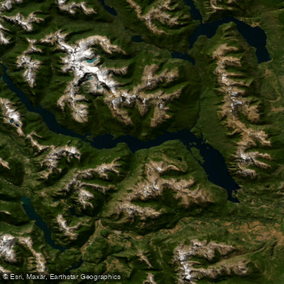
Embalse Amutui Quimei
- Boat Ramps
- 1
- Access Points
- 0
- Campsites
- 0
Embalse Amutui Quimei is a large reservoir in the southern portion of Los Alerces National Park, in the Futaleufú department of northwestern Chubut Province, Patagonia, Argentina. It sits at an elevation of 485 meters above sea level, approximately 18 kilometers from the town of Trevelin. The reservoir was formed by the damming of the Futaleufú River; the dam was completed and the reservoir filled in the mid-1970s. Its Mapuche name translates to "lost beauty," a reference to the valleys and natural features submerged during flooding. The reservoir spans approximately 86.7 square kilometers, stretches up to 38 kilometers in length and 3 kilometers in width, with a mean depth of around 64.7 meters and a total volume of roughly 8.37 cubic kilometers. It occupies a narrow valley between glaciated Andean peaks, with the Situación Range to the east, where Cerro Situación rises to 2,250 meters. The surrounding landscape features dense Valdivian-influenced Patagonian forest.
The reservoir is part of the Futaleufú River system, receiving inflows from the Frey, Stange, and Canelo Rivers, and draining westward through a chain of lakes ultimately reaching the Pacific Ocean via the Yelcho River in Chile.
Paddlers should be aware of several specific regulations enforced within Los Alerces National Park. Landing, lighting fires, camping overnight, and parking vehicles or trailers at Bahía Mansa are all prohibited. Navigation is forbidden in designated safety zones around the spillway, water intake, and dam face, as well as in the area of the former Lago 3 and the Río Canelo. All paddlers are required to declare entry and exit at the checkpoint and to disinfect equipment and watercraft at the disinfection station near the Portada Sur information center. Felt-soled wading boots are prohibited. Sport fishing is permitted with a daily bag limit of three salmonids.
Annual precipitation in the reservoir's basin ranges between 1,500 and 3,000 mm, reflecting the wet Andean climate of the region. The park encompasses elevations from 480 to 2,250 meters, and the area is subject to significant wind and rain, particularly during the colder months. Paddlers should plan accordingly, as conditions on this large, exposed body of water can change quickly.
Water access, boat ramps & amenities
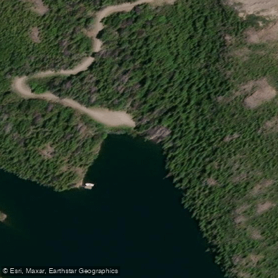
Learn how to get on Embalse Amutui Quimei. Uncover great paddling access points, boat ramps, and all the facilities you need for an unforgettable day on the water. Some locations shown may border or include private property. Always check property boundaries and applicable regulations before visiting. PaddleWays's Public & Private Land layer can help you plan your access with confidence.
Paddle smarter with real-time insights
Whether you're en route and conditions shift or you're looking for the best spot based on current flows, we enable you to make informed decisions on the fly.







Chubut licenses and regulations

Find Places to Paddle

Over 400,000 Places to Paddle
Every user gets free access to launch points, boat ramps, and public property parcels.


Water and weather conditions (10 day forecast)
See the best times to paddle Embalse Amutui Quimei and check the forecast before you go.
No forecast data available.
Paddling near Embalse Amutui Quimei
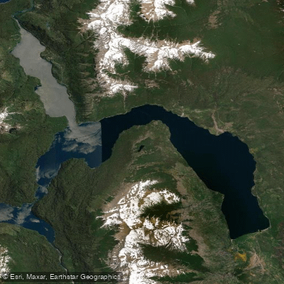
Lago Futalaufquen
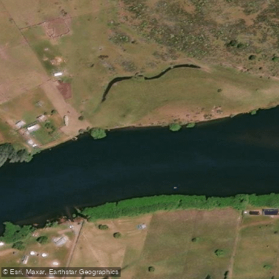
Río Grande o Futaleufú
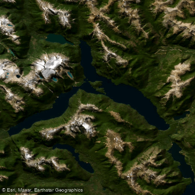
Lago Menéndez
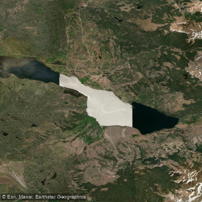
Lago Rosario
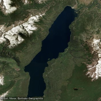
Lago Rivadavia
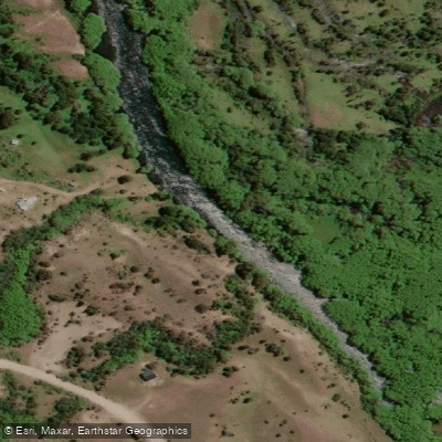
Río Carrenleufú o Corcovado
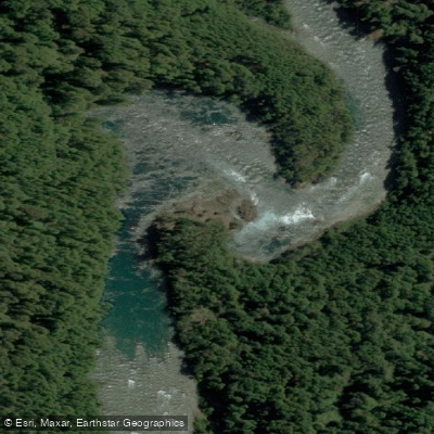
Río Frey
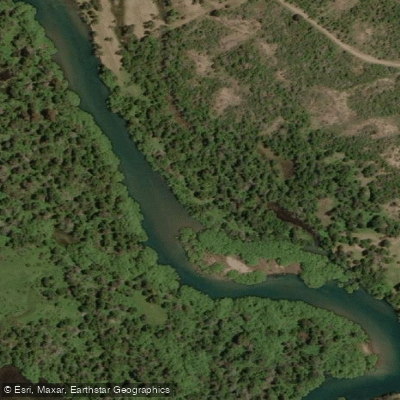
Río Carrilleufú
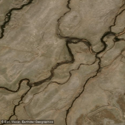
Río Tecka
Explore Chubut waters
Top paddling waters
No waters available right now.
Popular Cities
Loading popular cities...
Explore near Embalse Amutui Quimei

Smarter Paddling Starts in the App.
Paddleways gives you everything you need to plan smarter, paddle better, and own every trip from first launch to takeout.