Lago Futalaufquen
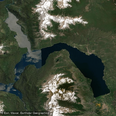
Lago Futalaufquen
- Boat Ramps
- 2
- Access Points
- 0
- Campsites
- 9
Lago Futalaufquen is a glacial lake in Futaleufú Department, Chubut Province, within Los Alerces National Park. It has a distinctive three-lobed shape, occupying narrow valleys between glaciated Andean peaks. The lake stretches approximately 16 kilometers in length and 2.5 kilometers at its widest point, covering a surface area of 44.6 square kilometers. Average depth is 101 meters, with a maximum of 168 meters. It sits within the Futaleufú River watershed, draining via Lago Kruger and the Río Frey, and is fed primarily by the Río Arrayanes.
The lake offers over 50 kilometers of shoreline with numerous secluded beaches and forested peninsulas. Kayak rentals are available at the Villa Futalaufquen campground at around $15 per hour or $40 per day. The eastern arm of the lake is accessible by highway, where the national park headquarters, the village of Futalaufquen, and tourist facilities are located. Two boat ramps serve the lake, and nine campsites are in the area.
Morning conditions are generally calm, making early starts preferable. Afternoon winds can be powerful and develop quickly, so paddlers should plan accordingly and carry appropriate layers. Near-shore paddling requires no prior experience, but multi-day expeditions along the full shoreline require advance planning. Popular day routes include paddling north along the west shore toward Lago Verde, a trip of roughly four hours round trip, and south to the Río Arrayanes outlet, approximately two hours. Beach camping on remote shorelines is possible on multi-day trips.
The Río Arrayanes also provides a packrafting descent — a 15-kilometer Class I-II run from the Lago Verde outlet down to Lago Futalaufquen, typically completed in a full day with some portages. No packraft rentals are available, so paddlers must bring their own equipment.
Boating on the lake falls under national jurisdiction of the Prefectura Naval Argentina, which governs vessel registration, operator licensing, and navigation safety. Paddlers should verify current regulations at the park ranger station before launching. An annual kayak traversal event is held on the lake, with the route running from Lago Verde down the Río Arrayanes and finishing at Bahía Rosales on Lago Futalaufquen, demonstrating the lake's use for organized paddling events as well as independent recreation.
Water access, boat ramps & amenities
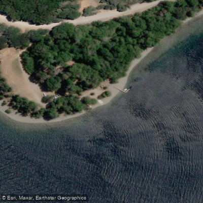
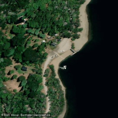
Learn how to get on Lago Futalaufquen. Uncover great paddling access points, boat ramps, and all the facilities you need for an unforgettable day on the water. Some locations shown may border or include private property. Always check property boundaries and applicable regulations before visiting. PaddleWays's Public & Private Land layer can help you plan your access with confidence.
Paddle smarter with real-time insights
Whether you're en route and conditions shift or you're looking for the best spot based on current flows, we enable you to make informed decisions on the fly.







Chubut licenses and regulations

Find Places to Paddle

Over 400,000 Places to Paddle
Every user gets free access to launch points, boat ramps, and public property parcels.


Water and weather conditions (10 day forecast)
See the best times to paddle Lago Futalaufquen and check the forecast before you go.
No forecast data available.
Paddling near Lago Futalaufquen
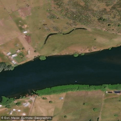
Río Grande o Futaleufú
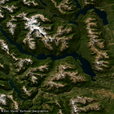
Embalse Amutui Quimei
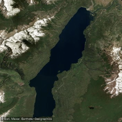
Lago Rivadavia
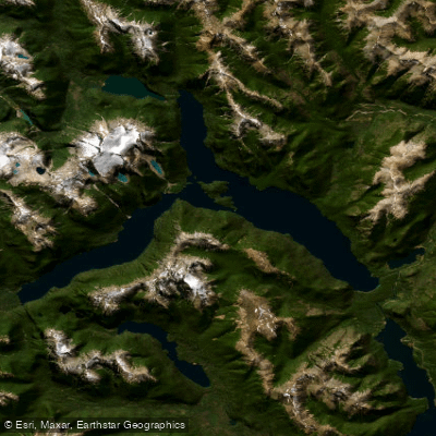
Lago Menéndez
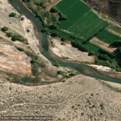
Río Chubut
Arroyo Rodeo
Río Epuyen
Río Carrilleufú
Lago Epuyén
Explore Chubut waters
Top paddling waters
No waters available right now.
Popular Cities
Loading popular cities...
Explore near Lago Futalaufquen
Access points
Nearby waters
More in Chubut

Smarter Paddling Starts in the App.
Paddleways gives you everything you need to plan smarter, paddle better, and own every trip from first launch to takeout.