Lago Rivadavia
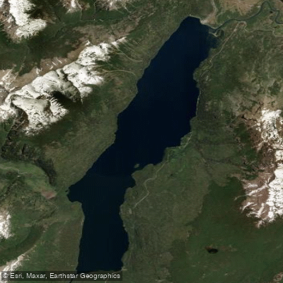
Lago Rivadavia
- Boat Ramps
- 1
- Access Points
- 0
- Campsites
- 4
Lago Rivadavia is a glacial lake in Chubut Province, Argentina, situated in the Andes at approximately 42°36'S, 71°39'W. It occupies a narrow north-to-south valley between glaciated peaks and forms part of the Futaleufú River system, which ultimately drains westward through Lago Yelcho and the Yelcho River into the Pacific Ocean in Chile. The Carrileufú River is the primary inflow, and the lake's outlet feeds the Río Rivadavia, which flows downstream into Lago Verde. All of the lake except its northern tip lies within Los Alerces National Park, a UNESCO World Heritage Site.
Argentina Provincial Highway 71, unpaved as of 2016, follows the eastern shoreline and provides the primary road access to the lake. The small settlement of Villa Lago Rivadavia sits roughly 3 kilometres from the northern edge of the lake. Facilities along the eastern shore are minimal, consisting of a few campgrounds near the highway.
Paddlers use the lake as a launching point for float trips down the Río Rivadavia. Motorized boats are permitted on the lake itself — fishing guides have been observed running outboard-powered craft from the lake's source down to the river mouth — but motorized craft are not allowed on the rivers within the national park. The Río Rivadavia flows out of the lake and into Lago Verde, making a continuous lake-to-river-to-lake route possible. Wind can be a factor on the open water, with heavy breezes encountered while paddling across the lake near the Rivadavia inlet into Lago Verde.
The lake is set against a backdrop of glaciated Andean peaks and surrounded by forests of larch and cypress. The waters are emerald green and clear. Brown trout and rainbow trout are present in the lake and the connecting river system, which draws fly fishing activity throughout the area. Organized kayak events have been held in the broader Los Alerces lake system, including a training clinic held on Lago Rivadavia itself, indicating the lake is suitable for kayaking. Because the lake falls almost entirely within Los Alerces National Park, paddlers should be aware that national park regulations apply, including the prohibition on motorized craft in the park's rivers.
Water access, boat ramps & amenities
Learn how to get on Lago Rivadavia. Uncover great paddling access points, boat ramps, and all the facilities you need for an unforgettable day on the water. Some locations shown may border or include private property. Always check property boundaries and applicable regulations before visiting. PaddleWays's Public & Private Land layer can help you plan your access with confidence.
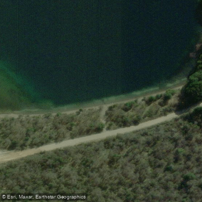
Paddle smarter with real-time insights
Whether you're en route and conditions shift or you're looking for the best spot based on current flows, we enable you to make informed decisions on the fly.







Chubut licenses and regulations

Find Places to Paddle

Over 400,000 Places to Paddle
Every user gets free access to launch points, boat ramps, and public property parcels.


Water and weather conditions (10 day forecast)
See the best times to paddle Lago Rivadavia and check the forecast before you go.
No forecast data available.
Paddling near Lago Rivadavia
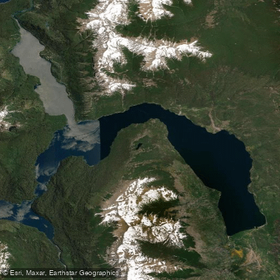
Lago Futalaufquen
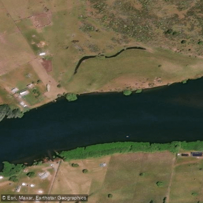
Río Grande o Futaleufú
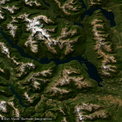
Embalse Amutui Quimei
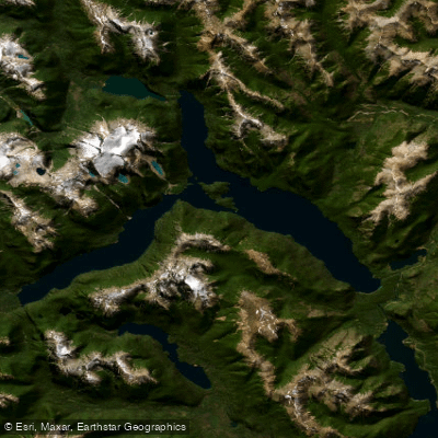
Lago Menéndez
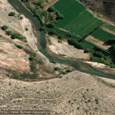
Río Chubut
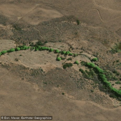
Arroyo Rodeo
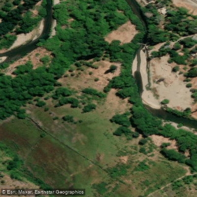
Río Epuyen
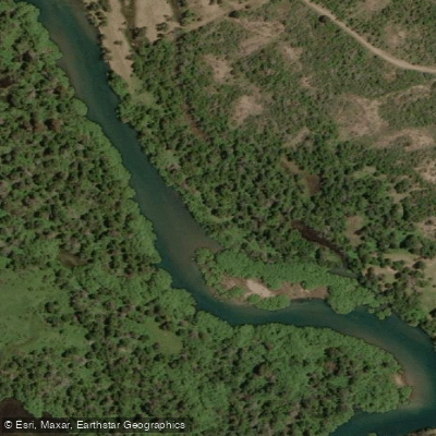
Río Carrilleufú
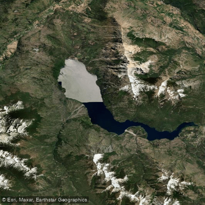
Lago Epuyén
Explore Chubut waters
Top paddling waters
No waters available right now.
Popular Cities
Loading popular cities...
Explore near Lago Rivadavia

Smarter Paddling Starts in the App.
Paddleways gives you everything you need to plan smarter, paddle better, and own every trip from first launch to takeout.