Río Rivadavia
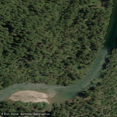
Río Rivadavia
- Boat Ramps
- 0
- Access Points
- 0
- Campsites
- 0
The Río Rivadavia is a short river in Chubut, Argentina, flowing approximately five miles from Lago Rivadavia to Lago Verde entirely within Alerce National Park. The river drains a landscape of Valdivian temperate rainforest, making it ecologically distinct from the drier steppe regions more commonly associated with Patagonia. The water is exceptionally clear with an emerald-green tint, and visibility is such that fish can typically be spotted before a cast is made.
The standard float runs from the outlet of Lago Rivadavia to where the river empties into Lago Verde. Access to the put-in involves a roughly 40-minute drive into Alerce National Park, where boats are launched into Lago Rivadavia and motored down the lake to the river mouth. Motorized craft are not permitted on the rivers within the park, so the float itself is done by oar-powered raft or drift boat. The take-out is at Lago Verde.
The river's character changes noticeably as the float progresses. The upper section moves at a relaxed pace, but the river transitions into fast water with tight bends, steep cut banks, and overhanging trees. Fallen timber is common along the banks and in the shallows, creating significant obstacles for paddlers and making maneuvering through narrow channels a regular requirement. These features demand attentive boat handling, particularly in the faster lower sections.
The riparian corridor is dense beech forest, and the combination of clear water, forested banks, and fallen structure gives the river a visually striking character. Trout were introduced in 1964 and the fishery now includes rainbow trout, brown trout, brook trout, and landlocked Atlantic salmon. The early season, roughly November through January, is the best period for fishing, which aligns with the primary paddling season in Patagonia's Southern Hemisphere summer. The river is a well-known fly fishing destination, and anglers floating the river are a regular presence, something paddlers should anticipate when planning a trip.
Water access, boat ramps & amenities
Learn how to get on Río Rivadavia. Uncover great paddling access points, boat ramps, and all the facilities you need for an unforgettable day on the water. Some locations shown may border or include private property. Always check property boundaries and applicable regulations before visiting. PaddleWays's Public & Private Land layer can help you plan your access with confidence.
Paddle smarter with real-time insights
Whether you're en route and conditions shift or you're looking for the best spot based on current flows, we enable you to make informed decisions on the fly.







Chubut licenses and regulations

Find Places to Paddle

Over 400,000 Places to Paddle
Every user gets free access to launch points, boat ramps, and public property parcels.


Water and weather conditions (10 day forecast)
See the best times to paddle Río Rivadavia and check the forecast before you go.
No forecast data available.
Paddling near Río Rivadavia
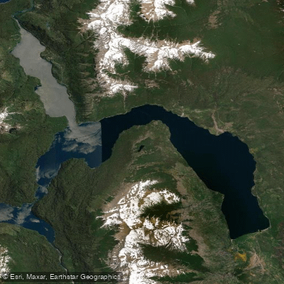
Lago Futalaufquen
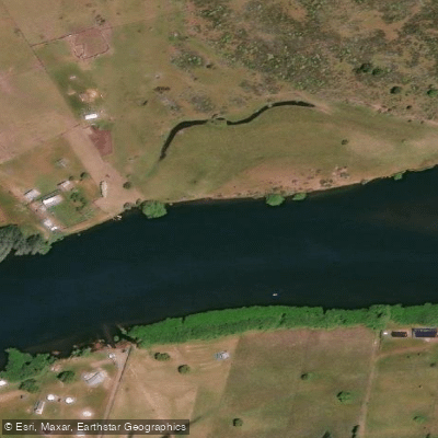
Río Grande o Futaleufú
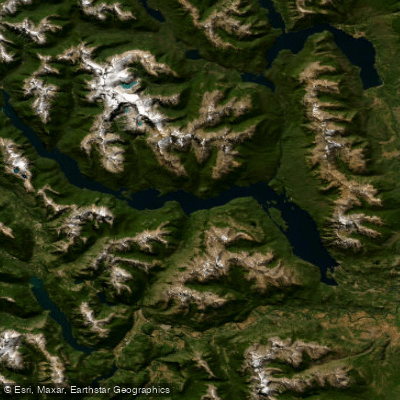
Embalse Amutui Quimei
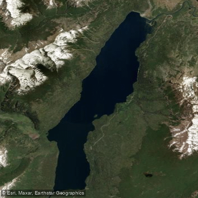
Lago Rivadavia
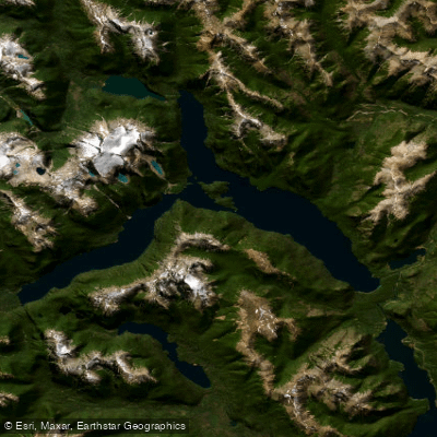
Lago Menéndez
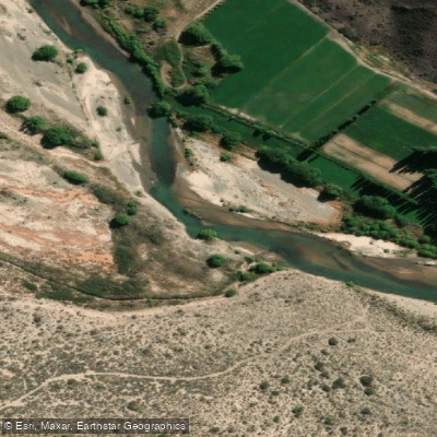
Río Chubut
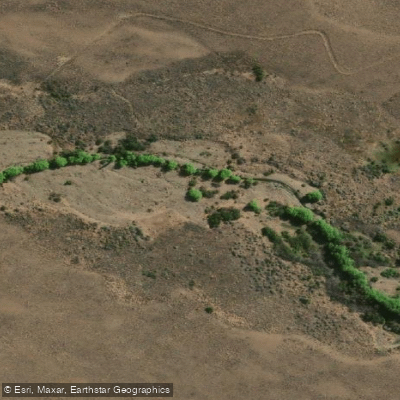
Arroyo Rodeo
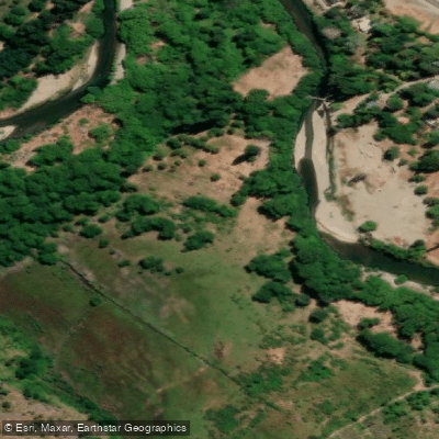
Río Epuyen
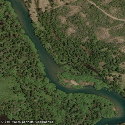
Río Carrilleufú
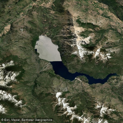
Lago Epuyén
Explore Chubut waters
Top paddling waters
No waters available right now.
Popular Cities
Loading popular cities...
Explore near Río Rivadavia

Smarter Paddling Starts in the App.
Paddleways gives you everything you need to plan smarter, paddle better, and own every trip from first launch to takeout.