Lago Menéndez
Lago Menéndez
- Boat Ramps
- 1
- Access Points
- 0
- Campsites
- 1
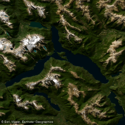
Lago Menéndez is a glacial lake in Chubut Province, Argentina, situated entirely within Los Alerces National Park, a UNESCO World Heritage Site. The lake has a distinctive Y-shape, occupying two narrow valleys between glaciated peaks, with its main body oriented east and two arms extending northwest and southwest. An island called Isla Grande sits at the junction of the two arms. The lake measures approximately 26 km in length, up to 2.8 km wide, covers 55.7 km², and reaches a maximum depth of 287 m with an average depth of around 150 m. It sits at an elevation of 520 m above sea level. The primary inflows are the Río Los Alerces and Lago Cisne; the outflow is the Río Menéndez, which drains into the Río Arrayanes and ultimately into the Pacific Ocean via the Futaleufú river system.
There are no roads to the lake, and access is exclusively on foot or by boat. The standard walking route begins at a car park on Provincial Route 71, crosses a footbridge over the Río Arrayanes, and follows the Lahuán Solitario trail — a mostly flat path running parallel first to the Río Arrayanes and then to the Río Menéndez — to reach Puerto Chucao, a dock on the lake shore. This one-way walk takes approximately 1.5 hours and is rated medium difficulty.
Private boats are not permitted to leave the lake, and independent paddling access is restricted. Organized boat excursions depart from Puerto Chucao and cross the lake to Puerto Sagrario on the northwest arm, where visitors walk approximately 1 km through old-growth forest to view the ancient alerce trees. The tour boat "Alerzal" departs from Puerto Limonao and the full excursion takes 6–7 hours. Boats are limited to 75 passengers and advance booking is recommended. Departures run mornings and early afternoons daily during summer (December through March). Kayaking tours are available on the nearby Río Arrayanes through commercial operators, offering a 4 km round trip of about 2 hours, rated easy and suitable for beginners.
The shoreline forests include Alerce (Fitzroya cupressoides), ciprés (Austrocedrus chilensis), and coihué (Nothofagus dombeyi), representative of the Valdivian temperate rain forest. Small glaciers are visible on surrounding peaks, and the Torrecillas Glacier is accessible from the broader park area.
Water access, boat ramps & amenities
Learn how to get on Lago Menéndez. Uncover great paddling access points, boat ramps, and all the facilities you need for an unforgettable day on the water. Some locations shown may border or include private property. Always check property boundaries and applicable regulations before visiting. PaddleWays's Public & Private Land layer can help you plan your access with confidence.
Paddle smarter with real-time insights
Whether you're en route and conditions shift or you're looking for the best spot based on current flows, we enable you to make informed decisions on the fly.







Chubut licenses and regulations

Find Places to Paddle

Over 400,000 Places to Paddle
Every user gets free access to launch points, boat ramps, and public property parcels.


Water and weather conditions (10 day forecast)
See the best times to paddle Lago Menéndez and check the forecast before you go.
No forecast data available.
Paddling near Lago Menéndez
Lago Futalaufquen
Río Grande o Futaleufú
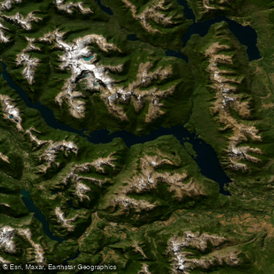
Embalse Amutui Quimei
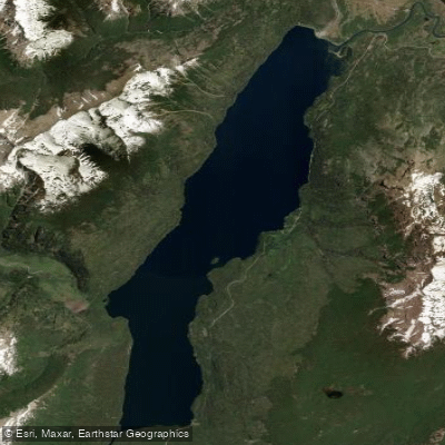
Lago Rivadavia
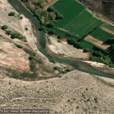
Río Chubut
Arroyo Rodeo
Río Epuyen
Río Carrilleufú
Lago Epuyén
Explore Chubut waters
Top paddling waters
No waters available right now.
Popular Cities
Loading popular cities...
Explore near Lago Menéndez

Smarter Paddling Starts in the App.
Paddleways gives you everything you need to plan smarter, paddle better, and own every trip from first launch to takeout.