Río Frey
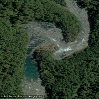
Río Frey
- Boat Ramps
- 0
- Access Points
- 0
- Campsites
- 0
The Río Frey is located in Chubut Province, Argentina, within or adjacent to Los Alerces National Park. It sits upstream of the Futaleufú dam on the Argentine side of the border, in a region that draws far less paddling traffic than the internationally renowned Futaleufú River in Chile, despite sharing the same general watershed.
For paddlers, the Río Frey is characterized by technical whitewater and is considered appropriate only for expert-level packrafters. The advanced nature of its whitewater sections means it is not suitable for beginners or intermediate paddlers. Given its location within Los Alerces National Park, paddlers should expect to follow park regulations, which in this area include requirements such as single barbless hooks for anglers and catch-and-release rules in certain zones — regulations that reflect the park's broader conservation mandate. Fishing licenses are required for anglers within the park and can be obtained at the park entrance or at tackle shops in Esquel.
Los Alerces National Park, which provides the broader context for the Río Frey, is a landscape of significant natural beauty. The park also encompasses the Río Arrayanes and Lago Verde, and the Río Frey confluence is a productive fly fishing location for brown trout and rainbow trout. The fly fishing season runs from November through April, with February and March considered the peak months.
The nearest service hub is Esquel, where outfitters, guides, and equipment can be sourced. Given the remote and technical character of the river, paddlers planning a trip should arrange logistics well in advance and be prepared for limited on-site infrastructure.
Water access, boat ramps & amenities
Learn how to get on Río Frey. Uncover great paddling access points, boat ramps, and all the facilities you need for an unforgettable day on the water. Some locations shown may border or include private property. Always check property boundaries and applicable regulations before visiting. PaddleWays's Public & Private Land layer can help you plan your access with confidence.
Paddle smarter with real-time insights
Whether you're en route and conditions shift or you're looking for the best spot based on current flows, we enable you to make informed decisions on the fly.







Chubut licenses and regulations

Find Places to Paddle

Over 400,000 Places to Paddle
Every user gets free access to launch points, boat ramps, and public property parcels.


Water and weather conditions (10 day forecast)
See the best times to paddle Río Frey and check the forecast before you go.
No forecast data available.
Paddling near Río Frey
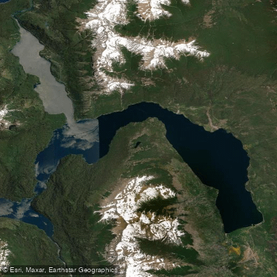
Lago Futalaufquen
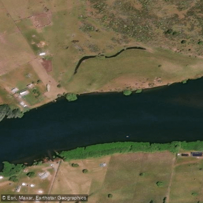
Río Grande o Futaleufú
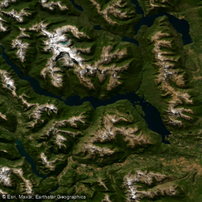
Embalse Amutui Quimei
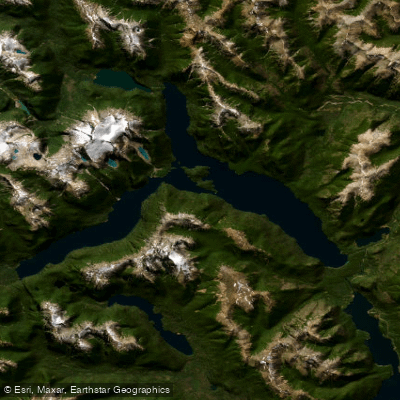
Lago Menéndez
Lago Rosario
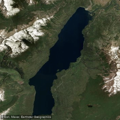
Lago Rivadavia
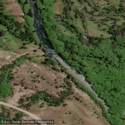
Río Carrenleufú o Corcovado
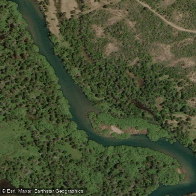
Río Carrilleufú
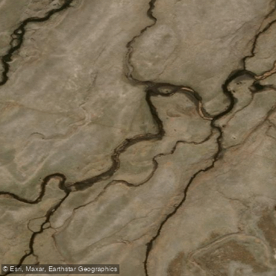
Río Tecka
Explore Chubut waters
Top paddling waters
No waters available right now.
Popular Cities
Loading popular cities...
Explore near Río Frey

Smarter Paddling Starts in the App.
Paddleways gives you everything you need to plan smarter, paddle better, and own every trip from first launch to takeout.