Cotter River
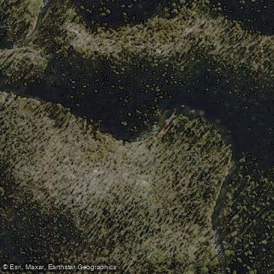
Cotter River
- Boat Ramps
- 0
- Access Points
- 0
- Campsites
- 2
The Cotter River is a perennial river located in the Australian Capital Territory, rising on the eastern slopes of the Brindabella Ranges within Namadgi National Park and flowing generally north for 76 kilometres before reaching its confluence with the Murrumbidgee River near Casuarina Sands, west of Weston Creek. The river descends 1,300 metres over its course and forms part of the Murrumbidgee catchment within the Murray–Darling basin. It is one of two rivers supplying potable water to the Canberra and Queanbeyan region.
Paddling opportunities on the Cotter River exist in two distinct areas. The upper section features a grade 3 whitewater run that is fast-flowing and scenic, though it requires high rainfall to reach a minimum paddleable level. Below the dam, near the top picnic area, a small weir creates the "Cotter Play Wave," the only playboating feature in the area, though it also depends on high flows to function. From the play wave, paddlers can continue downstream to the confluence with the Murrumbidgee River. This lower section is prone to strainers formed by trees, weirs, and man-made objects, and caution is strongly advised.
It is important to note that the Cotter Dam and other reservoirs within the Cotter Catchment are closed to recreational watercraft use, as they supply domestic drinking water.
The section from Cotter Junction to Uriarra Crossing on the Murrumbidgee River — accessed via the Cotter Camping Area — offers a 14-kilometre trip graded overall at Grade I with a highest grade of Grade II. The trip takes 2–4 hours, or as little as 1 hour for small experienced groups. The first 2 kilometres feature straightforward grade 1–2 rapids that gradually ease, with a longer grade 2 rapid near the end. The river winds through hilly country and gives an impression of isolation in some stretches. The easier car shuttle runs on the western side of the river, with a return shuttle distance of 28 kilometres taking approximately 25–30 minutes. There is no public access below Casuarina Sands. Paddlers should be aware of swimmers in the last 2 kilometres and must not attempt to paddle the weir at Casuarina Sands. This section is also subject to flash floods, so checking conditions beforehand is essential.
The Cotter Reserve at the base of the dam wall includes barbecue facilities, picnic tables, and is a popular recreation area. Casuarina Sands nearby also offers barbecue facilities, picnic tables, shaded areas, a playground, and parking with disabled access.
Water access, boat ramps & amenities
Learn how to get on Cotter River. Uncover great paddling access points, boat ramps, and all the facilities you need for an unforgettable day on the water. Some locations shown may border or include private property. Always check property boundaries and applicable regulations before visiting. PaddleWays's Public & Private Land layer can help you plan your access with confidence.
Paddle smarter with real-time insights
Whether you're en route and conditions shift or you're looking for the best spot based on current flows, we enable you to make informed decisions on the fly.







Australian Capital Territory licenses and regulations
Find Places to Paddle

Over 400,000 Places to Paddle
Every user gets free access to launch points, boat ramps, and public property parcels.


Water and weather conditions (10 day forecast)
See the best times to paddle Cotter River and check the forecast before you go.
Cotter River At Kiosk
All Flow Stations
Paddling near Cotter River
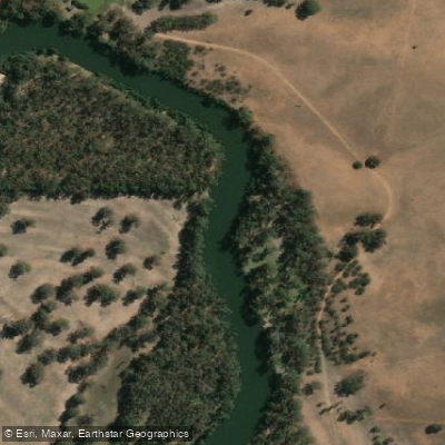
Murrumbidgee River
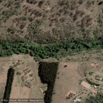
Molonglo River
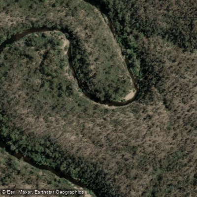
Queanbeyan River
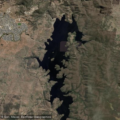
Googong Reservoir
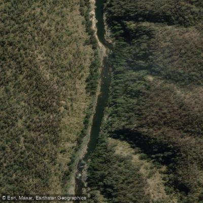
Shoalhaven River
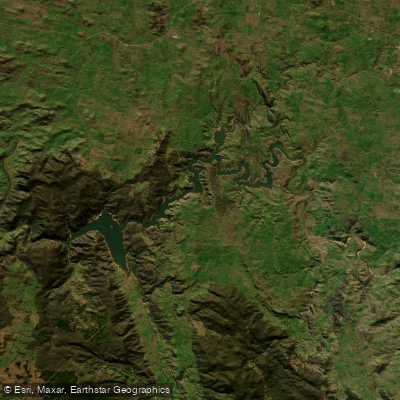
Lake Burrinjuck
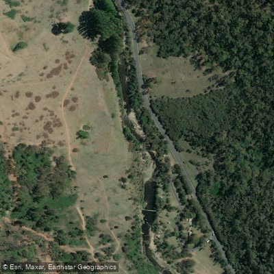
Goobagandra River
Eucumbene River
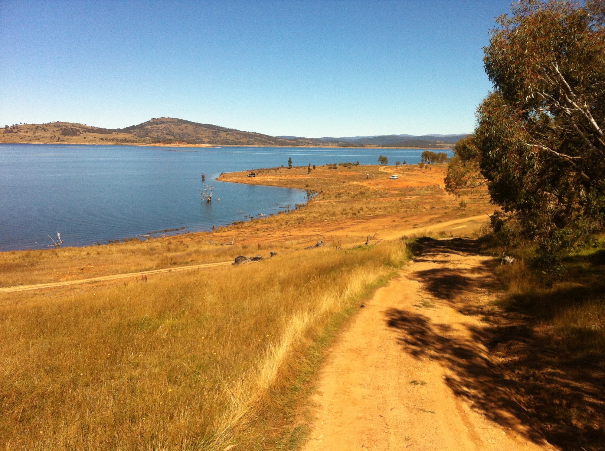
Lake Eucumbene
Explore Australian Capital Territory waters
Top paddling waters
No waters available right now.
Popular Cities
Loading popular cities...
Explore near Cotter River
Access points
Nearby waters
More in Australian Capital Territory

Smarter Paddling Starts in the App.
Paddleways gives you everything you need to plan smarter, paddle better, and own every trip from first launch to takeout.