Molonglo River

Molonglo River
- Boat Ramps
- 2
- Access Points
- 0
- Campsites
- 2
The Molonglo River flows through Canberra, where it is impounded by Scrivener Dam to form Lake Burley Griffin, the capital's central lake. The dammed section between Scrivener Dam and the Dairy Road Bridge forms the lake proper, which stretches approximately nine kilometres in length with a width varying between 300 and 1,200 metres. The lake sits at an elevation of 555.93 metres above sea level, roughly 300 kilometres south-west of Sydney. Maximum depth reaches 17.6 metres near Scrivener Dam, while the mean depth is around four metres, with the shallowest area at East Basin measuring 1.9 metres.
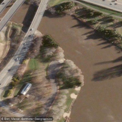
Several put-in options are available for paddlers. The Molonglo Reach canoe club provides a launch point on the river, and from there a return paddle to Scrivener Dam covers approximately 20 kilometres. Additional access points include near the Yarralumla Yacht Club and near the Water Police station. The canoe club at Molonglo Reach has an active paddling community, making it a practical base for those unfamiliar with the area.
Beyond the impounded lake section, the river corridor features rocky stretches that are normally submerged but become accessible when water levels drop during dam maintenance works. Under typical conditions, the river banks have walking tracks on each side, and the water level through the natural river sections can be substantial enough to restrict close access to the channel.
Lake Burley Griffin is Canberra's centrepiece, with numerous national institutions and parks situated along its shores, giving the paddling experience a distinctly urban and civic character. The lake level is actively managed by Scrivener Dam, meaning water levels can be deliberately lowered for maintenance purposes, which paddlers should factor into trip planning.
Water access, boat ramps & amenities
Learn how to get on Molonglo River. Uncover great paddling access points, boat ramps, and all the facilities you need for an unforgettable day on the water. Some locations shown may border or include private property. Always check property boundaries and applicable regulations before visiting. PaddleWays's Public & Private Land layer can help you plan your access with confidence.
Paddle smarter with real-time insights
Whether you're en route and conditions shift or you're looking for the best spot based on current flows, we enable you to make informed decisions on the fly.







Australian Capital Territory licenses and regulations

Find Places to Paddle

Over 400,000 Places to Paddle
Every user gets free access to launch points, boat ramps, and public property parcels.


Water and weather conditions (10 day forecast)
See the best times to paddle Molonglo River and check the forecast before you go.
Molonglo River At Kobada
All Flow Stations
Paddling near Molonglo River

Murrumbidgee River

Queanbeyan River

Cotter River

Lake Burrinjuck

Googong Reservoir

Goobagandra River

Shoalhaven River
Back Creek
Lachlan River
Explore Australian Capital Territory waters
Top paddling waters
No waters available right now.
Popular Cities
Loading popular cities...
Explore near Molonglo River
Access points
Nearby waters
More in Australian Capital Territory

Smarter Paddling Starts in the App.
Paddleways gives you everything you need to plan smarter, paddle better, and own every trip from first launch to takeout.