Lake Burrinjuck
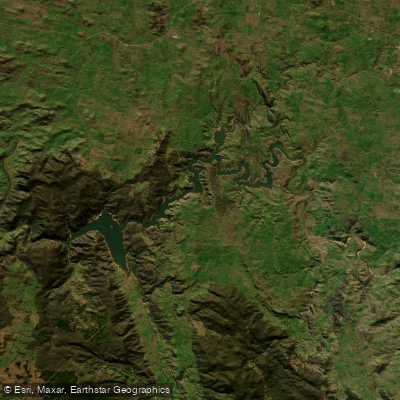
Lake Burrinjuck
- Boat Ramps
- 5
- Access Points
- 0
- Campsites
- 1
Lake Burrinjuck is a large reservoir located on the south west slopes of New South Wales, approximately 55 kilometres south-west of Yass and around 279 kilometres south-west of Sydney via the Hume Highway. The lake is formed by Burrinjuck Dam and is notable for its rolling farmland hills, steep wooded slopes, and sculptured stone features set within expansive native bushland. Islands and unique rock formations add variety to the paddling landscape.
A recommended day paddle covers approximately 15 kilometres return and takes around three hours, making it a manageable outing for most paddlers. The lake has also been used for longer expeditions, with at least one multi-day trip of around 230 kilometres over seven days documented, suggesting the waterway offers substantial scope for extended touring.
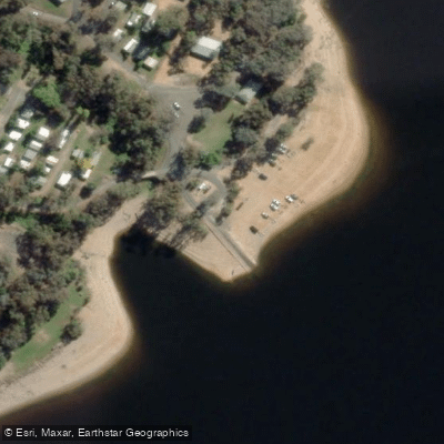
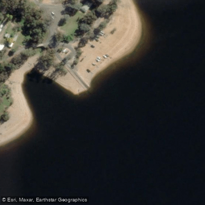
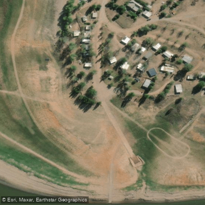
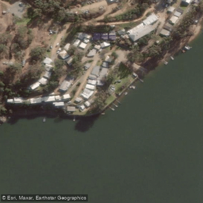
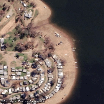
The main access point is via Burrinjuck Waters State Park, a 75-hectare park that provides panoramic views of the lake and foreshores. A concrete boat ramp is available near the park, with car and boat trailer parking adjacent. The ramp is described as long, with the launch point varying depending on water levels — the lake has been recorded at around 60 percent capacity at times, requiring a lengthy reverse down the ramp. Multiple boat ramps and kayak-only launching spots exist around the system. The access road from the highway is sealed but narrow in parts, with tight hairpin bends over approximately 30 kilometres; caution is advised, particularly when towing a trailer.
Safety notices from WaterNSW emphasise wearing a life jacket, supervising children, watching for underwater hazards, maintaining safe distances when boating, and following any algae alerts that may be in effect. Paddlers should check current algae advisories before visiting.
Facilities at Burrinjuck Waters State Park include BBQ and picnic areas, amenities blocks, a camp kitchen, and accommodation options ranging from camping to self-contained cabins. Day passes are available for access to park and lakefront areas, including boat ramp use. Park grounds are accessible from 5 am to 9:30 pm.
The lake supports Murray cod, golden perch, silver perch, brown and rainbow trout, redfin, and European carp, and the surrounding park includes walking trails of varying difficulty, including a section of the historic 440-kilometre Hume and Hovell Walking Track.
Water access, boat ramps & amenities
Learn how to get on Lake Burrinjuck. Uncover great paddling access points, boat ramps, and all the facilities you need for an unforgettable day on the water. Some locations shown may border or include private property. Always check property boundaries and applicable regulations before visiting. PaddleWays's Public & Private Land layer can help you plan your access with confidence.
Paddle smarter with real-time insights
Whether you're en route and conditions shift or you're looking for the best spot based on current flows, we enable you to make informed decisions on the fly.








Find Places to Paddle

Over 400,000 Places to Paddle
Every user gets free access to launch points, boat ramps, and public property parcels.


Water and weather conditions (10 day forecast)
See the best times to paddle Lake Burrinjuck and check the forecast before you go.
Murrumbidgee River At Burrinjuck Dam - Storage Gauge
All Flow Stations
Paddling near Lake Burrinjuck
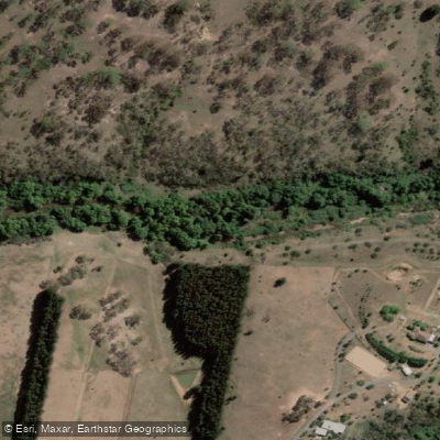
Molonglo River
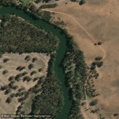
Murrumbidgee River
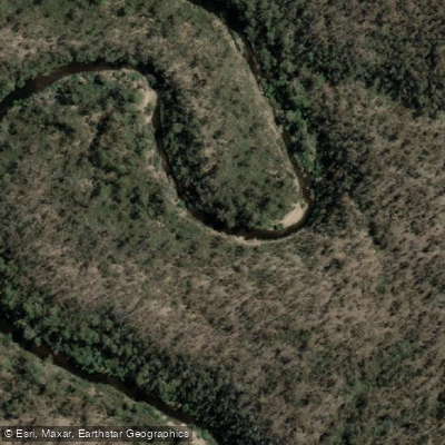
Queanbeyan River
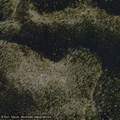
Cotter River
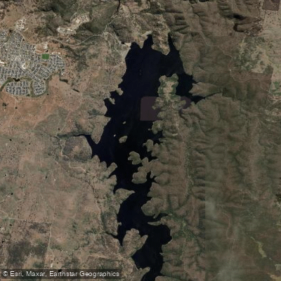
Googong Reservoir
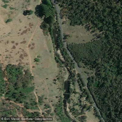
Goobagandra River
Shoalhaven River
Back Creek
Lachlan River
Explore New South Wales waters
Top paddling waters
No waters available right now.
Popular Cities
Loading popular cities...
Explore near Lake Burrinjuck
Access points
Nearby waters
More in New South Wales

Smarter Paddling Starts in the App.
Paddleways gives you everything you need to plan smarter, paddle better, and own every trip from first launch to takeout.