Queanbeyan River
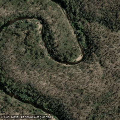
Queanbeyan River
- Boat Ramps
- 0
- Access Points
- 0
- Campsites
- 0
The Queanbeyan River flows through the centre of Queanbeyan, a large town in New South Wales situated just outside Canberra. The river is fed upstream by Googong Dam, the largest reservoir in the Canberra region, constructed in 1977. The river's character is a mix of accessible urban paddling near town and more isolated stretches as you move upstream toward the dam.
The primary put-in is from the grassed area beneath the main bridge in Queanbeyan, where a café is also located nearby. From this launch point, paddlers typically head upstream. A recommended loop of approximately 4 kilometres involves paddling upstream until reaching a boat ramp on the right after the golf course, then turning back. The river becomes shallow not far beyond that point, limiting further upstream travel. A separate kayaking section exists near Googong Dam itself, with a documented route of around 3 kilometres taking roughly 35 minutes on the water.
An important restriction applies near Googong Dam: because the dam serves as a drinking water catchment, body contact with the water is not permitted within the dam itself. This includes wading and paddleboarding. Swimming is permitted downstream of the dam wall in the Queanbeyan River below the dam. Canoeing is listed as a permitted activity in the Googong Foreshores area.
The river contains numerous half-submerged logs and overhanging branches, which create both navigational obstacles and fish habitat. Paddlers should carry a life jacket and a personal locator beacon, as the stretch toward Googong Dam can become isolated despite the proximity to town. The river is described as visually appealing, with reeds and overhanging vegetation lining the banks.
Wildlife interest is notable — there is a reasonable chance of spotting a platypus when paddling upstream from the town bridge. The river also supports a diverse fish population including Murray cod, golden perch, brown trout, and redfin perch.
Queanbeyan town provides full amenities for paddlers, including a tackle shop, supermarkets, petrol stations, and cafés, all within easy reach of the main launch point.
Water access, boat ramps & amenities
Learn how to get on Queanbeyan River. Uncover great paddling access points, boat ramps, and all the facilities you need for an unforgettable day on the water. Some locations shown may border or include private property. Always check property boundaries and applicable regulations before visiting. PaddleWays's Public & Private Land layer can help you plan your access with confidence.
Paddle smarter with real-time insights
Whether you're en route and conditions shift or you're looking for the best spot based on current flows, we enable you to make informed decisions on the fly.







Find Places to Paddle

Over 400,000 Places to Paddle
Every user gets free access to launch points, boat ramps, and public property parcels.


Water and weather conditions (10 day forecast)
See the best times to paddle Queanbeyan River and check the forecast before you go.
Queanbeyan Rv @ Quen
All Flow Stations
Paddling near Queanbeyan River
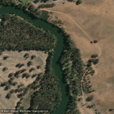
Murrumbidgee River
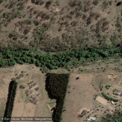
Molonglo River
Cotter River
Googong Reservoir
Shoalhaven River
Lake Burrinjuck
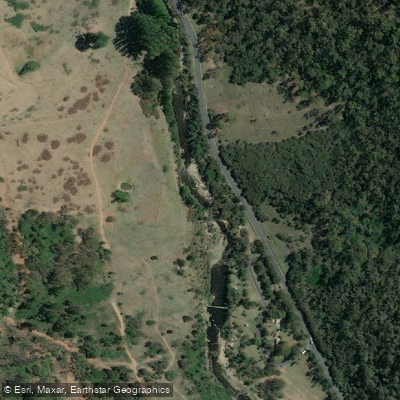
Goobagandra River
Eucumbene River
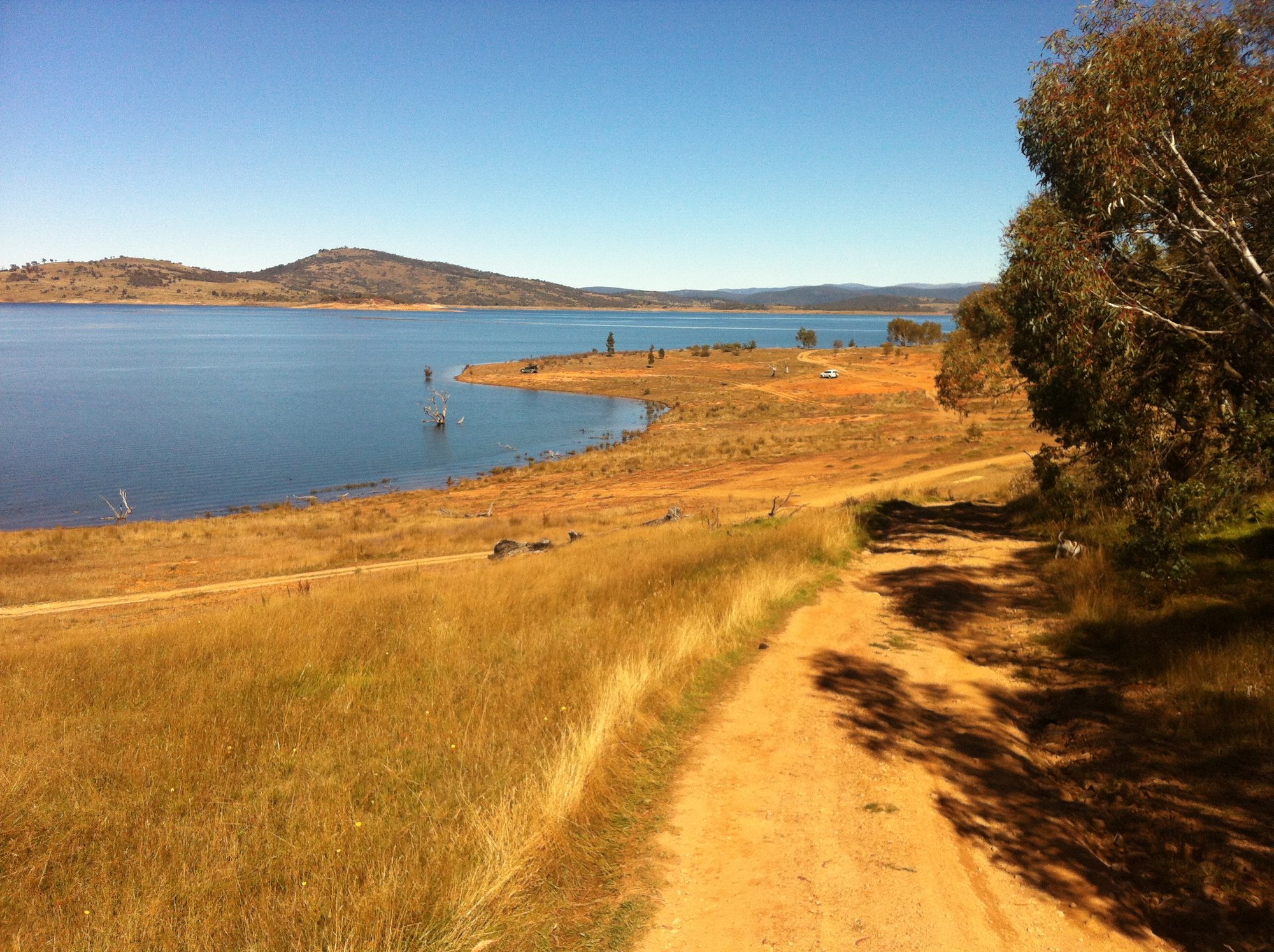
Lake Eucumbene
Explore New South Wales waters
Top paddling waters
No waters available right now.
Popular Cities
Loading popular cities...
Explore near Queanbeyan River
Smarter Paddling Starts in the App.
Paddleways gives you everything you need to plan smarter, paddle better, and own every trip from first launch to takeout.