Eucumbene River
Eucumbene River
- Boat Ramps
- 0
- Access Points
- 0
- Campsites
- 1
The Eucumbene River is a perennial river located in the Snowy Mountains region of New South Wales, within the Snowy River catchment. It rises below Shaw Hill in the northern part of Kosciuszko National Park, approximately 10 kilometres north of the village of Kiandra, at an elevation of around 1,380 metres. The river flows generally south and southeast, passing through Lake Eucumbene before continuing south to Lake Jindabyne, where it meets the Snowy River at an elevation of approximately 900 metres. The total length of the river is 84 kilometres.
For paddlers, the river is situated on the traditional lands of the Wolgal people. The most commonly paddled section runs from near Kiandra, with the Kiandra Bridge serving as a standard put-in point, though lower water levels may prompt paddlers to start further downstream at the end of the Four Mile Hill Trail to avoid shallow, slow-moving water through the grassy plains. The river transitions from open grassland paddling into a significant gorge section. The upper reaches provide an easy Grade II warm-up, followed by a short slot canyon, before the character shifts markedly in the main gorge.
The gorge section is rated Grade III+/IV, with a gradient of approximately 17 metres per kilometre, though the elevation loss is unevenly distributed, with long stretches of minimal gradient interspersed with concentrated drops. The rock types through the gorge include monzonite, hornblendite, lamprophyre, quartz monzonite, adamellite, and sodic leucogranite. The gorge features boulder gardens that become progressively more technical, and many rapids carry significant pinning and sieve potential, requiring scouting of most major drops. Wood hazard is described as minimal. The water is cold snowmelt, and the gorge is remote, which are the primary safety considerations. In high water, the gorge can escalate to continuous Grade IV, V, or even VI conditions.
A river gauge is located on the middle pylon of the Kiandra Bridge. Minimum recommended level is 5.2 metres, with a good level at 5.5 metres and high at 5.7 metres. The total paddled length of the gorge section is approximately 16.5 kilometres. Vehicle access to the Denison area near the lower river has been restricted; anglers and visitors must park and access the area on foot or by bicycle, which may affect shuttle logistics in that zone.
Water access, boat ramps & amenities
Learn how to get on Eucumbene River. Uncover great paddling access points, boat ramps, and all the facilities you need for an unforgettable day on the water. Some locations shown may border or include private property. Always check property boundaries and applicable regulations before visiting. PaddleWays's Public & Private Land layer can help you plan your access with confidence.
Paddle smarter with real-time insights
Whether you're en route and conditions shift or you're looking for the best spot based on current flows, we enable you to make informed decisions on the fly.







Find Places to Paddle

Over 400,000 Places to Paddle
Every user gets free access to launch points, boat ramps, and public property parcels.


Water and weather conditions (10 day forecast)
See the best times to paddle Eucumbene River and check the forecast before you go.
Eucumbene River @Providence 2
All Flow Stations
Paddling near Eucumbene River
Murrumbidgee River
Molonglo River
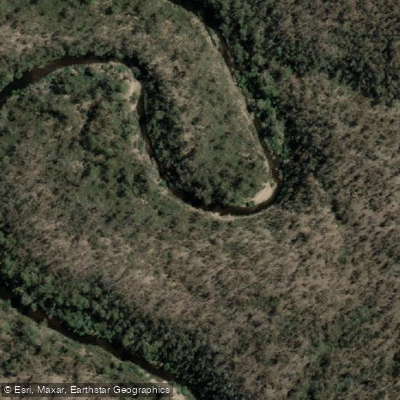
Queanbeyan River
Cotter River
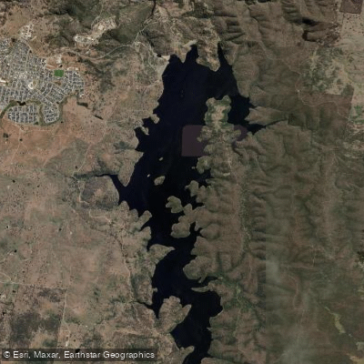
Googong Reservoir
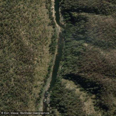
Shoalhaven River
Lake Burrinjuck
Goobagandra River
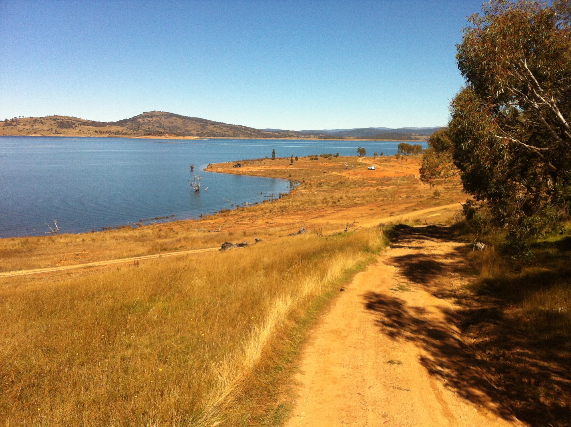
Lake Eucumbene
Explore New South Wales waters
Top paddling waters
No waters available right now.
Popular Cities
Loading popular cities...
Explore near Eucumbene River
Smarter Paddling Starts in the App.
Paddleways gives you everything you need to plan smarter, paddle better, and own every trip from first launch to takeout.