Shoalhaven River
Shoalhaven River
- Boat Ramps
- 2
- Access Points
- 0
- Campsites
- 9
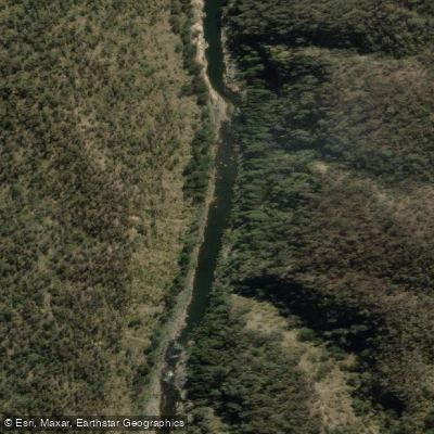
The Shoalhaven River flows through southern New South Wales, Australia, offering paddlers a range of experiences from flatwater lake-like sections to demanding whitewater gorge paddling. The river passes through Morton National Park and the Kangaroo Valley region, with the Shoalhaven Gorge forming one of the most significant wilderness paddling corridors in the state.
A popular multi-day route runs from Long Point downstream to Tallowa Dam, navigating the Shoalhaven Gorge with whitewater sections that require portaging. This stretch is considered high-grade and suited to experienced paddlers. An alternative approach to the gorge section begins at Tallowa Dam Boat Ramp, which provides easy vehicle access for launching kayaks and canoes, and continues upstream toward Fossickers Flat through Lake Yarrunga. This direction offers calmer water through the gorge's lower reaches.
Several designated campsites are accessible by paddle along the gorge, including Tom's Gully, Monarch Campsites, Bullangalong Campground, and Throne Flat Campground, the last of which has pit toilets. Unmarked bush camping sites also exist along the riverbanks. Paddlers should note that Tallowa Dam Road has been subject to closures, which can affect access for entry and exit planning.
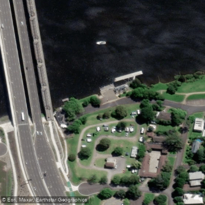
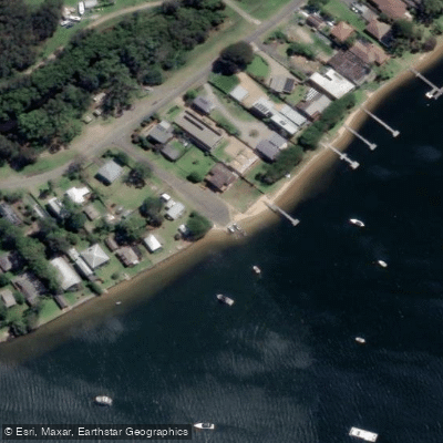
The lower river, approaching Shoalhaven Heads, is tidal and more suitable for recreational paddling. Boat ramps at Shoalhaven Heads provide access at multiple points, including Wharf Road and the Beach end of River Road near the Council Caravan Park. Broughton Creek, a tributary that joins the Shoalhaven River near Numbaa Island, offers an additional paddling option of approximately 17 kilometres each way from its boat ramp, with tidal conditions best navigated near high tide.
Wildlife along the gorge includes birdlife and koalas, and the surrounding Morton National Park provides a remote bush setting. The upper gorge section involves significant portaging over rough terrain, with one portage reported at approximately 1.8 kilometres. Paddlers planning the upper gorge route should be prepared for a genuine multi-day expedition with substantial physical demands beyond the paddling itself.
Water access, boat ramps & amenities
Learn how to get on Shoalhaven River. Uncover great paddling access points, boat ramps, and all the facilities you need for an unforgettable day on the water. Some locations shown may border or include private property. Always check property boundaries and applicable regulations before visiting. PaddleWays's Public & Private Land layer can help you plan your access with confidence.
Paddle smarter with real-time insights
Whether you're en route and conditions shift or you're looking for the best spot based on current flows, we enable you to make informed decisions on the fly.







Find Places to Paddle

Over 400,000 Places to Paddle
Every user gets free access to launch points, boat ramps, and public property parcels.


Water and weather conditions (10 day forecast)
See the best times to paddle Shoalhaven River and check the forecast before you go.
Shoalhaven River At Warri
All Flow Stations
Paddling near Shoalhaven River
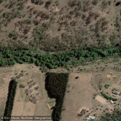
Molonglo River
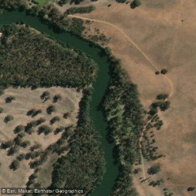
Murrumbidgee River
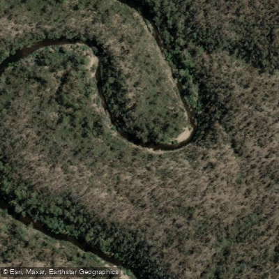
Queanbeyan River
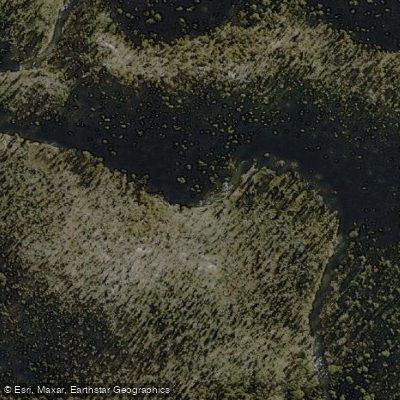
Cotter River
Lake Burrinjuck
Googong Reservoir
Goobagandra River
Back Creek
Lachlan River
Explore New South Wales waters
Top paddling waters
No waters available right now.
Popular Cities
Loading popular cities...
Explore near Shoalhaven River
Access points
Nearby waters
More in New South Wales
Smarter Paddling Starts in the App.
Paddleways gives you everything you need to plan smarter, paddle better, and own every trip from first launch to takeout.