Goobagandra River

Goobagandra River
- Boat Ramps
- 0
- Access Points
- 0
- Campsites
- 3
The Goobarragandra River is a 56-kilometre waterway in New South Wales, rising from the Fiery Range in the Snowy Mountains at an elevation of around 1,330 metres and flowing north to join the Tumut River at Tumut, at approximately 272 metres elevation. It sits within the Murrumbidgee catchment of the Murray–Darling basin, in the Snowy Valleys local government area.
The river offers a range of paddling experiences across several distinct sections. The run from Thomas Boyd Trackhead to the Travelling Stock Reserve (TSR) is considered the most beginner-friendly stretch, described as mellow but playful. The gorge section between Mack's Crossing and Rock Flat is better suited to intermediate paddlers, while the lower gorge from TSR down to Little River Bridge — approximately 8 kilometres — is recommended for more experienced paddlers due to its hazards. Between Rock Flat and Thomas Boyd Trackhead, paddlers will encounter a few small rapids and a notable feature called the Chute Rapid, where the river narrows into a tight slot that can produce significant holes depending on water level; scouting and setting safety is advised, and portaging is straightforward if conditions look unfavourable. A low bridge near Camp Hudson in this section requires a portage, and paddlers are asked to respect private landowners as river access in some areas is sensitive.
The most significant hazard on the river is Buckley's Falls, located in the lower gorge section below TSR. This waterfall is described as a major hazard that the majority of paddlers will need to portage. The section from TSR to Little River Bridge also involves limited bank access due to private land.
Thomas Boyd Trackhead and the TSR are both noted as public access points and popular camping spots, making multi-day trips feasible. The river is suitable for both hard-shell kayaks and packrafts. The overall character of the river is varied — technical Grade III whitewater in the gorge sections, with easier water elsewhere — making it a practical venue for paddlers looking to build skills or accompany paddlers of mixed ability levels.
Water access, boat ramps & amenities
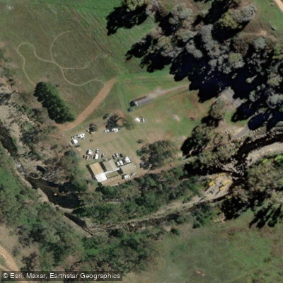
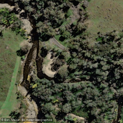
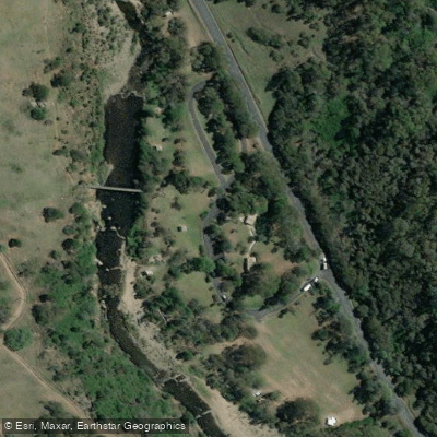
Learn how to get on Goobagandra River. Uncover great paddling access points, boat ramps, and all the facilities you need for an unforgettable day on the water. Some locations shown may border or include private property. Always check property boundaries and applicable regulations before visiting. PaddleWays's Public & Private Land layer can help you plan your access with confidence.
Paddle smarter with real-time insights
Whether you're en route and conditions shift or you're looking for the best spot based on current flows, we enable you to make informed decisions on the fly.








Find Places to Paddle

Over 400,000 Places to Paddle
Every user gets free access to launch points, boat ramps, and public property parcels.


Water and weather conditions (10 day forecast)
See the best times to paddle Goobagandra River and check the forecast before you go.
Goobarragandra River At Mac'S Crossing
All Flow Stations
Paddling near Goobagandra River

Murrumbidgee River

Molonglo River

Queanbeyan River

Cotter River

Googong Reservoir

Shoalhaven River

Lake Burrinjuck

Eucumbene River

Lake Eucumbene
Explore New South Wales waters
Top paddling waters
No waters available right now.
Popular Cities
Loading popular cities...
Explore near Goobagandra River

Smarter Paddling Starts in the App.
Paddleways gives you everything you need to plan smarter, paddle better, and own every trip from first launch to takeout.