Burrum River
- Saltwater
- Estuary
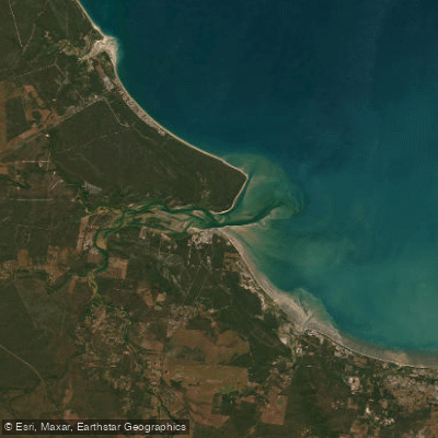
Burrum River
- Saltwater
- Estuary
- Sq. miles
- 25
- Boat Ramps
- 3
- Access Points
- 0
- Campsites
- 0
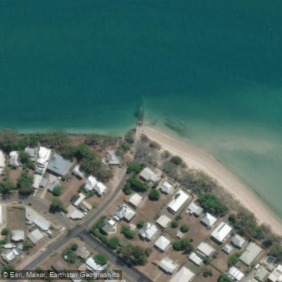
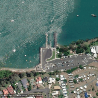
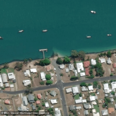
The Burrum River is a coastal estuary flowing through the Fraser Coast region, ultimately meeting the ocean at the fishing village of Burrum Heads. The river is a tidal waterway, with its upper reaches influenced by freshwater releases from Lake Lenthall, a dammed reservoir. The Fraser Coast Regional Council maintains several formal boat ramps providing access. One is located at the western end of Burrum Street in Burrum Heads, featuring a floating jetty. Another is situated at Lenthalls Dam, providing access to the upper river near the lake. A third ramp is noted at Pacific Haven, managed by the council. The river's character varies along its length, from the tranquil, lake-like stretches near Trinity Islands Holiday Park, which offers waterfront camping, to the more open waters near its confluence with the ocean at Burrum Heads. Burrum Heads is a location suitable for stand-up paddleboarding. The surrounding area includes the Burrum Coast National Park along sections of the river. The region is known for wildlife, including fish, lizards, birds, and kangaroos. As a tidal estuary with ocean access, paddlers must plan for tidal currents and potential wind exposure, particularly near the open coast. The river is also used by powered boats, so awareness of traffic is necessary, especially at the ramps and channels.
Water access, boat ramps & amenities
Learn how to get on Burrum River. Uncover great paddling access points, boat ramps, and all the facilities you need for an unforgettable day on the water. Some locations shown may border or include private property. Always check property boundaries and applicable regulations before visiting. PaddleWays's Public & Private Land layer can help you plan your access with confidence.
Paddle smarter with real-time insights
Whether you're en route and conditions shift or you're looking for the best spot based on current flows, we enable you to make informed decisions on the fly.







Queensland licenses and regulations

Find Places to Paddle

Over 400,000 Places to Paddle
Every user gets free access to launch points, boat ramps, and public property parcels.


Tides, wind & water conditions (10 day forecast)
On open water, wind and tide matter as much as the weather. See the best times to paddle Burrum River and check the marine forecast before you launch.
Loading tide predictions…
Paddling near Burrum River
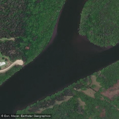
Maroochy River
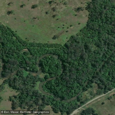
Mooloolah River
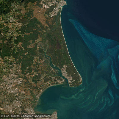
Pumicestone Passage
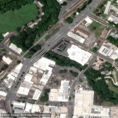
Petrie Creek
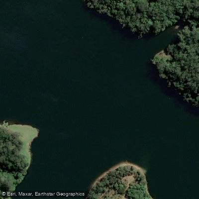
Obi Obi Creek

Moreton Bay
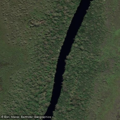
Noosa River
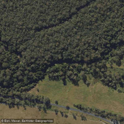
Stanley River
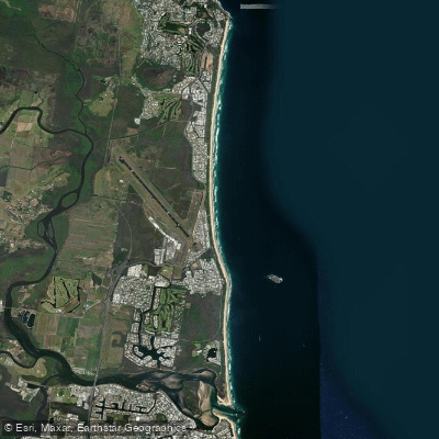
Yaroomba Beach
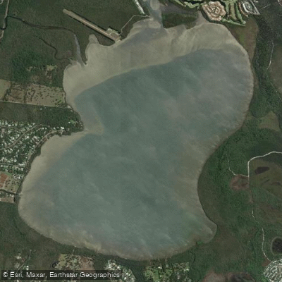
Lake Weyba
Explore Queensland waters
Top paddling waters
No waters available right now.
Popular Cities
Loading popular cities...
Explore near Burrum River

Smarter Paddling Starts in the App.
Paddleways gives you everything you need to plan smarter, paddle better, and own every trip from first launch to takeout.