Caboolture River
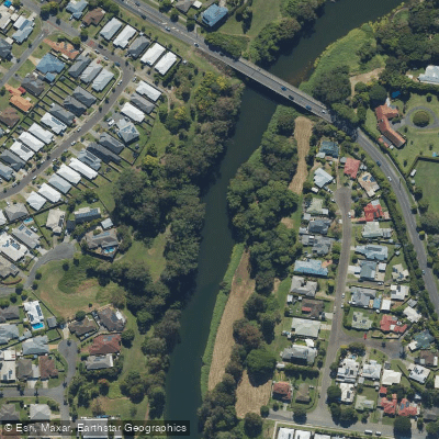
Caboolture River
- Boat Ramps
- 6
- Access Points
- 1
- Campsites
- 0
The Caboolture River flows through southeast Queensland, draining from as far upstream as Campbells Pocket on the D'Aguilar Range — a catchment distance of approximately 27 kilometres above the Caboolture River Weir. The weir itself creates a pool of fresh water that serves as a popular paddling destination, offering a contained and calm environment suitable for observing local wildlife including azure kingfishers, egrets, eastern water dragons, and dragonflies. The river transitions from freshwater in its upper reaches to estuarine conditions closer to the coast, where it eventually connects with Moreton Bay.
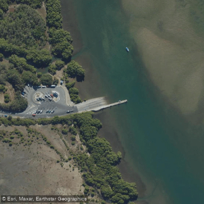
For paddlers, several access points are available along the river's length. Within the Caboolture Arboretum, approximately 7.5 kilometres from the Rivermont development, a dedicated kayak launch point provides entry to the freshwater sections of the river. Further downstream, the Beachmere Boat Ramp — located off Saint Smith Road — offers access to the lower tidal reaches and is equipped with lighting, toilets, and a pontoon. The Uhlmann Road Boat Ramp, positioned on the opposite bank, provides a large car park and access to both the river and Moreton Bay.
The character of the paddling experience varies considerably depending on where on the river you launch. The upper freshwater sections around the weir pool are calm and well-suited to wildlife observation, while the lower estuarine reaches near Beachmere open up to broader tidal waters connecting to Moreton Bay. The mix of freshwater and estuarine zones also supports a variety of fish species, which means boat traffic from anglers may be present at various points along the river.
Paddlers should be aware that the lower sections of the river are shared with recreational boaters, and boat ramps in those areas cater to motorised vessels as well as human-powered craft. Checking local fishing regulations before paddling is advisable, as some areas may have specific rules that affect access or activity. No specific restrictions on paddling were identified for the river, but conditions in the tidal lower reaches will vary with the tide, and paddlers planning trips to Moreton Bay should account for this accordingly.
Water access, boat ramps & amenities
Learn how to get on Caboolture River. Uncover great paddling access points, boat ramps, and all the facilities you need for an unforgettable day on the water. Some locations shown may border or include private property. Always check property boundaries and applicable regulations before visiting. PaddleWays's Public & Private Land layer can help you plan your access with confidence.
Paddle smarter with real-time insights
Whether you're en route and conditions shift or you're looking for the best spot based on current flows, we enable you to make informed decisions on the fly.







Queensland licenses and regulations

Find Places to Paddle

Over 400,000 Places to Paddle
Every user gets free access to launch points, boat ramps, and public property parcels.


Water and weather conditions (10 day forecast)
See the best times to paddle Caboolture River and check the forecast before you go.
Caboolture River At Upper Caboolture
All Flow Stations
Paddling near Caboolture River
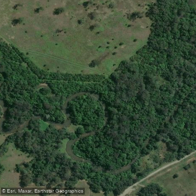
Mooloolah River
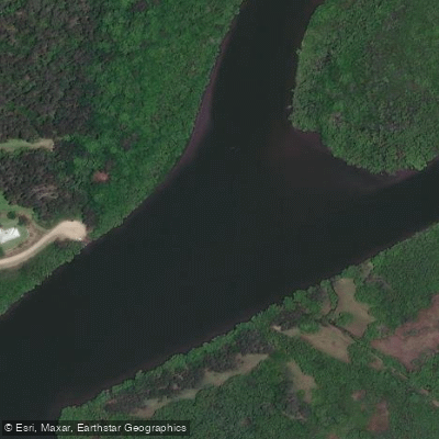
Maroochy River
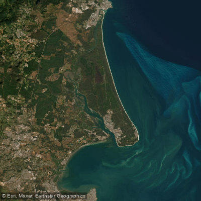
Pumicestone Passage
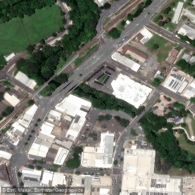
Petrie Creek
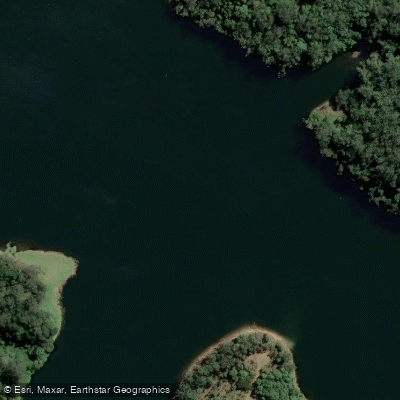
Obi Obi Creek

Moreton Bay
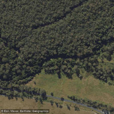
Stanley River
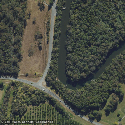
Elimbah Creek
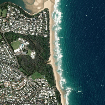
Dicky Beach
Lamerough Creek
Explore Queensland waters
Top paddling waters
No waters available right now.
Popular Cities
Loading popular cities...
Explore near Caboolture River
Access points
Nearby waters
More in Queensland

Smarter Paddling Starts in the App.
Paddleways gives you everything you need to plan smarter, paddle better, and own every trip from first launch to takeout.