Eprapah Creek
- Saltwater
- Estuary
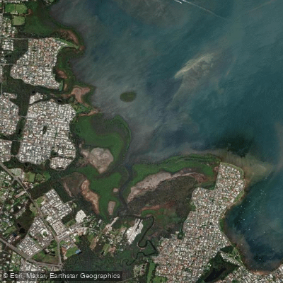
Eprapah Creek
- Saltwater
- Estuary
- Sq. miles
- 2.1
- Boat Ramps
- 0
- Access Points
- 0
- Campsites
- 0
Eprapah Creek is a 52-kilometer-long tidal estuary flowing from the Mount Cotton hills eastward through rural and urban areas before entering western Moreton Bay at Victoria Point. The paddling environment is primarily influenced by tides, not river flow. The creek features a main channel along with the smaller tributaries of Little Eprapah and Sandy Creek. A key launch point is the Redland City Marina, also referred to as Redlands Coast Marina, which sits on the creek roughly halfway between the Coomera and Brisbane River marine hubs. Another potential access is from Beveridge Road, though this involves a significant drop down an embankment into the creek. The mouth of Eprapah Creek opens into a designated High Ecological Value area of Moreton Bay, which is part of a Ramsar wetland site. The foreshore area near the mouth contains wetlands of state significance, such as the Egret Colony Wetland. The lower estuary retains a high level of intact riparian vegetation cover. For paddlers, timing is critical due to the large tidal range. It is best to plan trips within two hours of high tide to avoid extensive sand flats that become exposed and require dragging a kayak at low tide. The area can be exposed to southeasterly winds, which can create choppy conditions. The creek experiences elevated nutrient and sediment levels, leading to excess algal growth at times. The Redland City Marina facility includes a slipway and operates five days a week, indicating the presence of boat traffic. The overall character is a mix of sheltered upper reaches and a broader, more exposed bay entrance, with the urban marina providing services contrasting with the natural wetlands and conservation areas at the estuary mouth.
Water access, boat ramps & amenities
Learn how to get on Eprapah Creek. Uncover great paddling access points, boat ramps, and all the facilities you need for an unforgettable day on the water. Some locations shown may border or include private property. Always check property boundaries and applicable regulations before visiting. PaddleWays's Public & Private Land layer can help you plan your access with confidence.
Paddle smarter with real-time insights
Whether you're en route and conditions shift or you're looking for the best spot based on current flows, we enable you to make informed decisions on the fly.







Queensland licenses and regulations

Find Places to Paddle

Over 400,000 Places to Paddle
Every user gets free access to launch points, boat ramps, and public property parcels.


Tides, wind & water conditions (10 day forecast)
On open water, wind and tide matter as much as the weather. See the best times to paddle Eprapah Creek and check the marine forecast before you launch.
Loading tide predictions…
Paddling near Eprapah Creek
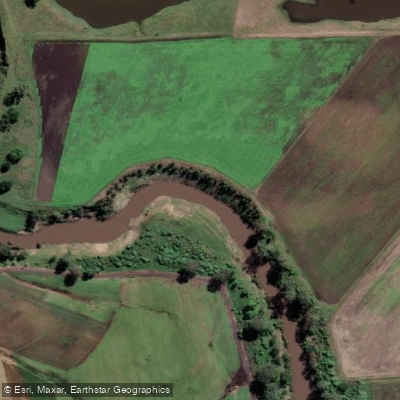
Logan River
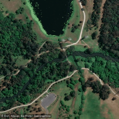
Bulimba Creek

Moreton Bay
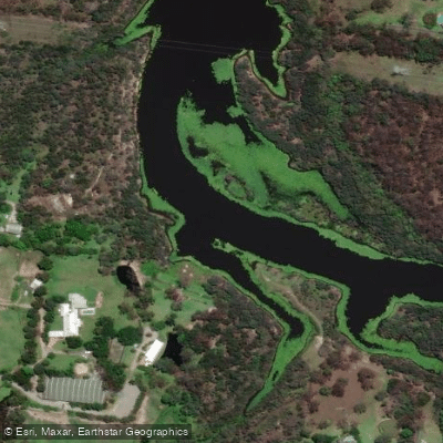
Tingalpa Creek
Oxley Creek
Southern Moreton Bay
Albert River
Brisbane River
Pimpama River
Explore Queensland waters
Top paddling waters
No waters available right now.
Popular Cities
Loading popular cities...
Explore near Eprapah Creek

Smarter Paddling Starts in the App.
Paddleways gives you everything you need to plan smarter, paddle better, and own every trip from first launch to takeout.