Tingalpa Creek
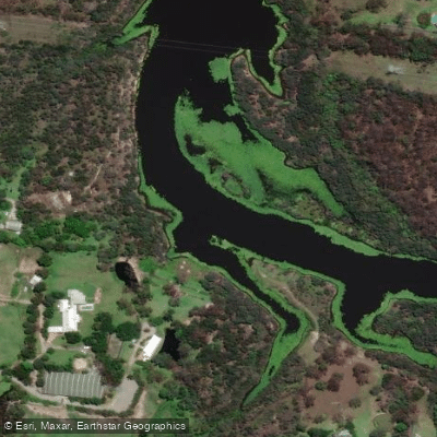
Tingalpa Creek
- Boat Ramps
- 3
- Access Points
- 2
- Campsites
- 0
Tingalpa Creek is a tidal estuary in southeast Queensland that flows from Leslie Harrison Dam into Waterloo Bay, entering Moreton Bay between Thorneside and Manly. It forms the boundary between Brisbane City and Redlands councils, sitting approximately 20 kilometres from Brisbane's CBD. The creek is strongly tidal, and paddling is best planned within two hours either side of high tide. At low tide, the ramp at Chandler can become slippery and muddy, making an incoming tide the preferred time to launch. The tidal pull can be quite strong, so planning routes to work with the tides rather than against them is important.
There are multiple launch points available. The Wynnum Redlands Canoe Club boat ramp on the southern bank, located near the end of Ferry Road at Thorneside, is considered the best launch site for exploring the lower estuary. A second access point is the Canoe Ramp and BBQ area at Tingalpa Creek Reserve on Chadwell Road in Chandler, which features a single-lane concrete ramp suitable for canoes, kayaks, and small craft. This upper reserve site includes shaded picnic tables, BBQ facilities, a fishing deck, a fish cleaning table with tap, and a boardwalk over the creek. Parking at this location is limited and can fill quickly. There are no toilet facilities at the reserve ramp. A third launch option exists further upstream near the reservoir.
One well-documented route runs from the Tingalpa Creek canoe ramp at Thorneside up Lota Creek and back, covering approximately 6 kilometres return and taking around 1.5 hours with tidal assistance. A longer paddle from the creek's mouth to the upper reaches is described as a more substantial outing passing through varied scenery including parklands and a golf club. One recorded trip covered just under 14 kilometres in approximately three hours.
At the confluence with Lota Creek, grey mangroves line the banks and brahminy kites are commonly sighted. The reserve corridor supports heathland, open eucalypt forest, and mangrove vegetation, and birdlife is described as abundant throughout. The creek also holds fish species including dusky flathead, yellowfin bream, and bigeye trevally.
Navigating upstream, particularly near the road bridge, requires caution due to rocks on the southern side. These rocks carry an unofficial marker but there are no formal navigation beacons upstream of the boat ramp. Midges and mosquitoes can be a nuisance along the creek, and insect repellent is recommended.
Water access, boat ramps & amenities
Learn how to get on Tingalpa Creek. Uncover great paddling access points, boat ramps, and all the facilities you need for an unforgettable day on the water. Some locations shown may border or include private property. Always check property boundaries and applicable regulations before visiting. PaddleWays's Public & Private Land layer can help you plan your access with confidence.
Paddle smarter with real-time insights
Whether you're en route and conditions shift or you're looking for the best spot based on current flows, we enable you to make informed decisions on the fly.







Queensland licenses and regulations

Find Places to Paddle

Over 400,000 Places to Paddle
Every user gets free access to launch points, boat ramps, and public property parcels.


Water and weather conditions (10 day forecast)
See the best times to paddle Tingalpa Creek and check the forecast before you go.
Leslie Harrison
Paddling near Tingalpa Creek
Logan River
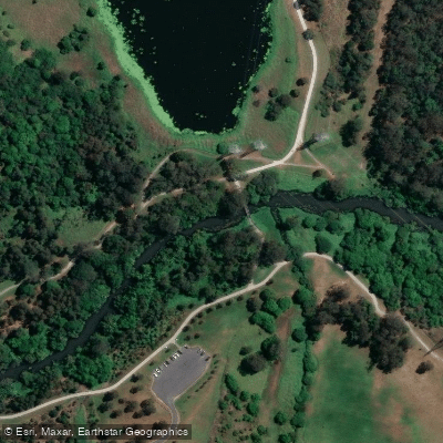
Bulimba Creek

Moreton Bay
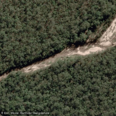
Oxley Creek
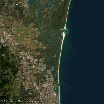
Southern Moreton Bay
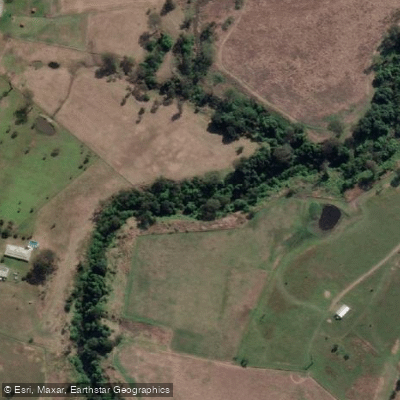
Albert River
Brisbane River
Eprapah Creek
Pimpama River
Explore Queensland waters
Top paddling waters
No waters available right now.
Popular Cities
Loading popular cities...
Explore near Tingalpa Creek

Smarter Paddling Starts in the App.
Paddleways gives you everything you need to plan smarter, paddle better, and own every trip from first launch to takeout.