Four Mile Creek
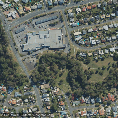
Four Mile Creek
- Boat Ramps
- 0
- Access Points
- 0
- Campsites
- 0
Four Mile Creek is located in the Pine Rivers area of Southeast Queensland, flowing into the South Pine River system. Its name derives from its historical position exactly four miles (6.5 kilometres) from Gordons Crossing on the Old North Road, a former dirt track that once crossed the North Pine River — a crossing that has since disappeared beneath Lake Samsonvale, though the creek retains the name as a historical marker.
The creek is navigable by kayak, with paddlers typically pushing upstream from its confluence with the South Pine River. The waterway passes through mangroves and thick undergrowth, which can make turning longer kayaks a challenge in the upper reaches. A notable feature along the creek is what has been described as a natural art gallery, where the mangrove environment creates a striking visual display. Todds Gully is an additional side channel encountered in the downstream section, offering further exploration for those interested in the broader waterway network.
Four Mile Creek is generally paddled as part of a broader South Pine River outing rather than as a standalone destination, given its relatively contained navigable length. The combination of mangrove corridors and dense riparian vegetation gives the creek a distinctly enclosed, sheltered character compared to the more open reaches of the South Pine River itself.
Water access, boat ramps & amenities
Learn how to get on Four Mile Creek. Uncover great paddling access points, boat ramps, and all the facilities you need for an unforgettable day on the water. Some locations shown may border or include private property. Always check property boundaries and applicable regulations before visiting. PaddleWays's Public & Private Land layer can help you plan your access with confidence.
Paddle smarter with real-time insights
Whether you're en route and conditions shift or you're looking for the best spot based on current flows, we enable you to make informed decisions on the fly.







Queensland licenses and regulations

Find Places to Paddle

Over 400,000 Places to Paddle
Every user gets free access to launch points, boat ramps, and public property parcels.


Water and weather conditions (10 day forecast)
See the best times to paddle Four Mile Creek and check the forecast before you go.
No forecast data available.
Paddling near Four Mile Creek
Brisbane River
Enoggera Creek

Moreton Bay
Oxley Creek
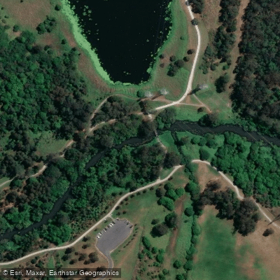
Bulimba Creek
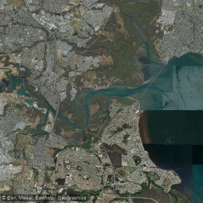
Pine River
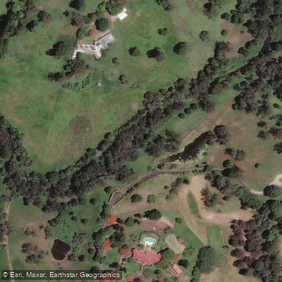
Moggill Creek
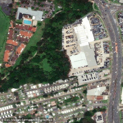
Cabbage Tree Creek
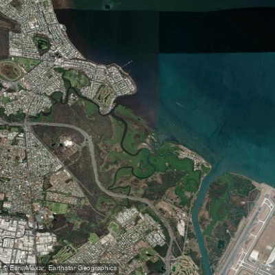
Nundah/Cabbage Tree Creek
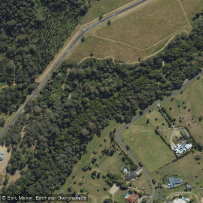
South Pine River
Explore Queensland waters
Top paddling waters
No waters available right now.
Popular Cities
Loading popular cities...
Explore near Four Mile Creek

Smarter Paddling Starts in the App.
Paddleways gives you everything you need to plan smarter, paddle better, and own every trip from first launch to takeout.