Gregory River
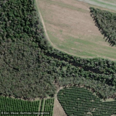
Gregory River
- Boat Ramps
- 0
- Access Points
- 0
- Campsites
- 0
The Gregory River is located approximately 300 kilometres north of Mount Isa in Queensland, near the small community of Gregory. Unlike most river systems in the southern Gulf region, the Gregory flows year-round, fed by springs associated with the Thorntonia Limestone and Camooweal Dolomite formations. Its waters are notably clear and green, supporting remnants of prehistoric rainforest vegetation and unique northern wildlife. The river drains into the Gulf of Carpentaria and was declared a Wild River in 2007 under Queensland's Wild Rivers Act 2005. It also forms part of the nationally significant Gregory River and Thorntonia Aggregation wetlands within the Nicholson Basin.
The paddling character combines long waterholes with occasional rapids, and the river runs through an arid outback landscape that contrasts with its lush, spring-fed corridor. Submerged rocks are a known hazard, and craft can strike them or be redirected by current into banks or trees. Paddlers are advised against using new craft or vessels with underslung rudders. The annual Gregory River Canoe Marathon, organised by the North West Canoe Club and running since 1976, covers a long course of approximately 38–42 kilometres and a shorter recreational course of around 15–17 kilometres, both finishing near the Gregory pub. The race start is known as "the Knobbies." Volunteers clear hazardous or impassable obstacles from the course in the weeks before the event, which is typically held on the May Labour Day long weekend.
Safety requirements for the race include wearing a life jacket and paddling helmet. Recommended items to carry include dry cloth, duct tape, sunscreen, and drinking water. Land crew access is possible at designated checkpoints along the course. High flow rates during or after the wet season can make the river unsafe for paddling, and the race has been cancelled in past years due to flooding. The wet season can also deposit new hazards along the course.
Access tracks to the river are maintained by the local community, and basic facilities exist in the Gregory township. The river is valued as a camping and fishing destination, and the local shire has historically managed impacts from visitor access, including installation of sewage dump facilities near the river.
Water access, boat ramps & amenities
Learn how to get on Gregory River. Uncover great paddling access points, boat ramps, and all the facilities you need for an unforgettable day on the water. Some locations shown may border or include private property. Always check property boundaries and applicable regulations before visiting. PaddleWays's Public & Private Land layer can help you plan your access with confidence.
Paddle smarter with real-time insights
Whether you're en route and conditions shift or you're looking for the best spot based on current flows, we enable you to make informed decisions on the fly.







Queensland licenses and regulations

Find Places to Paddle

Over 400,000 Places to Paddle
Every user gets free access to launch points, boat ramps, and public property parcels.


Water and weather conditions (10 day forecast)
See the best times to paddle Gregory River and check the forecast before you go.
Gregory River At Isis Highway
All Flow Stations
Paddling near Gregory River
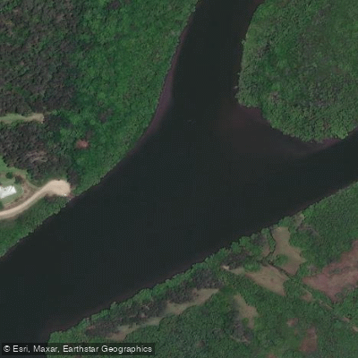
Maroochy River
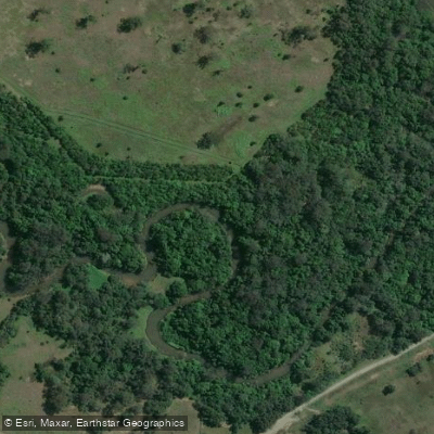
Mooloolah River
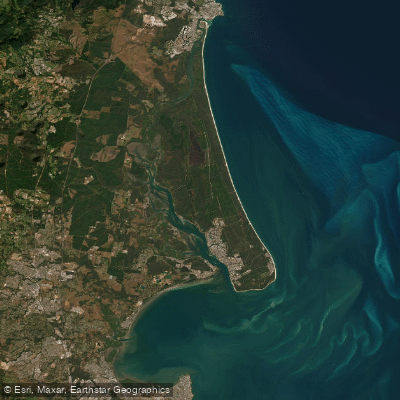
Pumicestone Passage
Petrie Creek
Obi Obi Creek

Moreton Bay
Noosa River
Stanley River
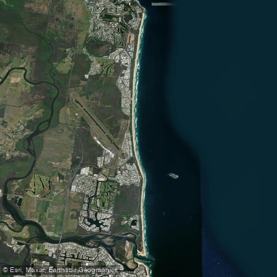
Yaroomba Beach
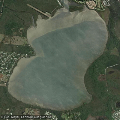
Lake Weyba
Explore Queensland waters
Top paddling waters
No waters available right now.
Popular Cities
Loading popular cities...
Explore near Gregory River

Smarter Paddling Starts in the App.
Paddleways gives you everything you need to plan smarter, paddle better, and own every trip from first launch to takeout.