Theodolite Creek
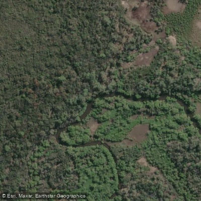
Theodolite Creek
- Boat Ramps
- 0
- Access Points
- 0
- Campsites
- 0
Theodolite Creek is a tidal creek located approximately 4 kilometres north of Woodgate in the Bundaberg Region of Queensland, Australia. The creek sits between bushland and the beach, and its coordinates are approximately 25°04′50″S, 152°31′58.1″E.
Access to the water is available via Theodolite Creek Road, where a boat ramp and park area are maintained by Bundaberg Regional Council. The launch area consists of a sandy beach ramp best suited for four-wheel-drive vehicles, with access typically available around half-tide in and half-tide out, making tidal timing an important consideration when planning a launch or retrieval.
The creek is well suited to kayaking, canoeing, and stand-up paddleboarding. Its character is generally calm and relaxed, making it accessible to paddlers of varying experience levels. Wildlife encounters are part of the experience on the water — stingrays have been spotted by paddlers in the area, and the creek's position within a coastal Queensland environment means the surrounding habitat supports a range of aquatic and birdlife. The creek is also noted as a productive fishing location, with species including dusky flathead, barramundi, talang queenfish, and javelin grunter present in the waterway.
The park at the boat ramp provides a base for day trips, with facilities available for picnicking and relaxing. The area sees a mix of uses including recreational boating, swimming, and water skiing alongside paddling, so paddlers should be aware of motorised vessel traffic, particularly on weekends and during warmer months when the area is more popular.
Given its location in coastal subtropical Queensland, conditions are generally more comfortable for paddling during the cooler months from around April through to September, when temperatures are milder. The summer months bring higher humidity and heat, along with the possibility of afternoon storms typical of the region.
Water access, boat ramps & amenities
Learn how to get on Theodolite Creek. Uncover great paddling access points, boat ramps, and all the facilities you need for an unforgettable day on the water. Some locations shown may border or include private property. Always check property boundaries and applicable regulations before visiting. PaddleWays's Public & Private Land layer can help you plan your access with confidence.
Paddle smarter with real-time insights
Whether you're en route and conditions shift or you're looking for the best spot based on current flows, we enable you to make informed decisions on the fly.







Queensland licenses and regulations

Find Places to Paddle

Over 400,000 Places to Paddle
Every user gets free access to launch points, boat ramps, and public property parcels.


Water and weather conditions (10 day forecast)
See the best times to paddle Theodolite Creek and check the forecast before you go.
No forecast data available.
Paddling near Theodolite Creek
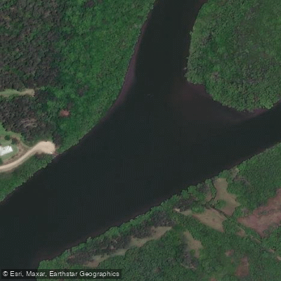
Maroochy River
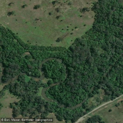
Mooloolah River
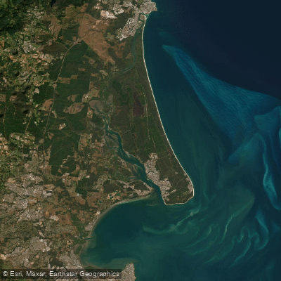
Pumicestone Passage
Petrie Creek
Obi Obi Creek

Moreton Bay
Noosa River
Stanley River
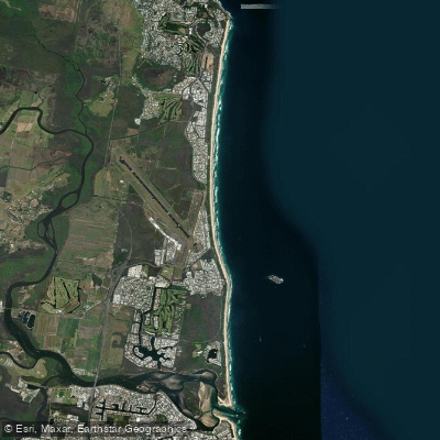
Yaroomba Beach
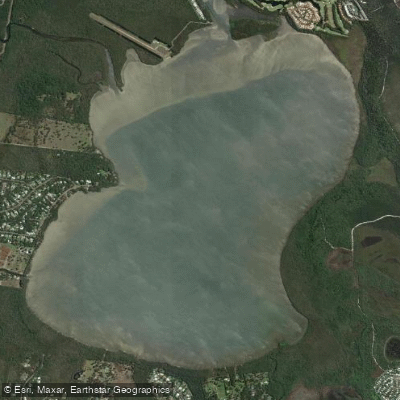
Lake Weyba
Explore Queensland waters
Top paddling waters
No waters available right now.
Popular Cities
Loading popular cities...
Explore near Theodolite Creek

Smarter Paddling Starts in the App.
Paddleways gives you everything you need to plan smarter, paddle better, and own every trip from first launch to takeout.