Great Lake
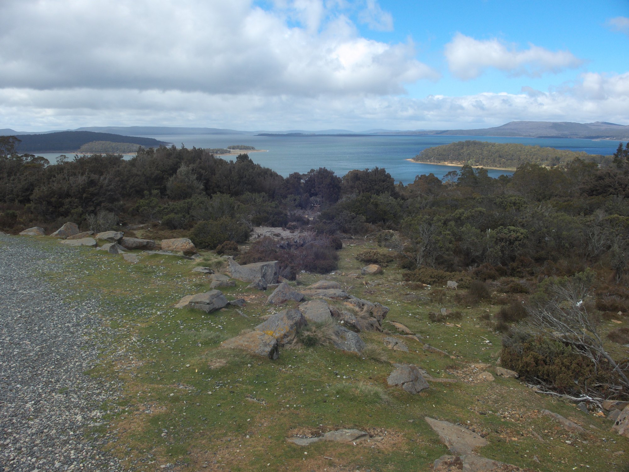
Great Lake
- Boat Ramps
- 8
- Access Points
- 0
- Campsites
- 0
Officially known as yingina / Great Lake, this natural freshwater lake sits in the Central Highlands region of Tasmania at coordinates 41°52′S 146°45′E. It ranks as the state's third largest freshwater lake after Lake Pedder and Lake Gordon, with a catchment area of 399 square kilometres. The lake functions as both a natural lake and a reservoir, having been developed in stages beginning in 1916, 1922, and 1967. Its primary inflows are Pine Rivulet and Breton Rivulet, with the Shannon River as its primary outflow.
The lake's open waters are subject to sudden and extreme weather shifts, making conditions potentially rough at any time throughout the year, often with little notice. Paddlers should treat this as a serious hazard requiring constant vigilance. When water levels are low, the lake's depth can decrease significantly, uncovering numerous underwater hazards that are not present at higher water levels.
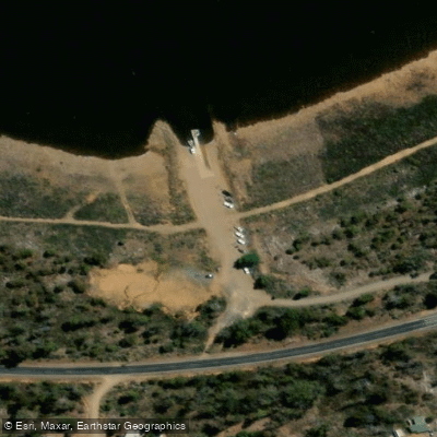
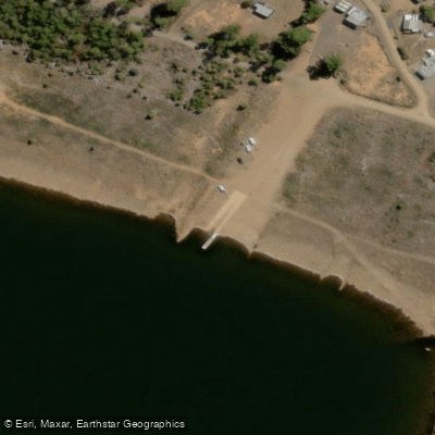
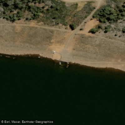
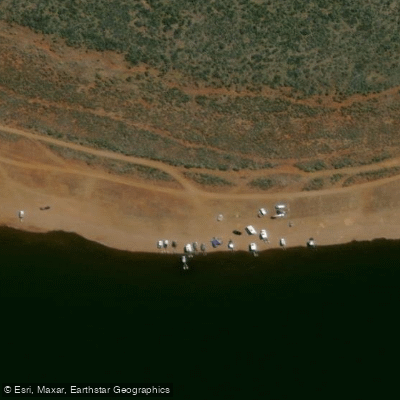
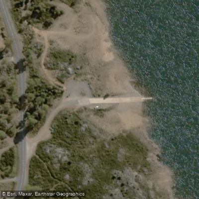
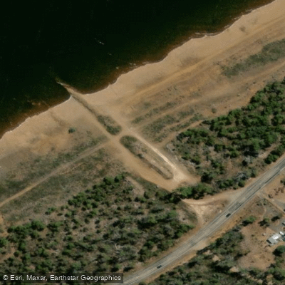
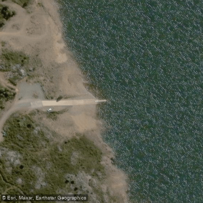
Several boat launch sites are available around the lake. Concrete ramps exist at Swan Bay, Cramps Bay, Brandum Bay, and Tods Corner, along with a gravel ramp at Haddens Bay. These facilities are usable from Full Supply Level down to approximately 17 metres below Full Supply Level. An additional gravel area for launching during low water conditions is located at Boundary Bay on the western shore, south of Liawenee. During periods of very low water, some ramps may be closed entirely, and paddlers should verify conditions before visiting.
Road access is available via the Lake Highway or the Highland Lakes Road, which runs along the western side of the lake. The lake's extensive shoreline provides numerous points for direct water access. Canoeing and kayaking are recognised activities in the area, alongside the lake's well-established reputation for trout fishing. The surrounding Central Highlands landscape is also used for bushwalking and cycling, with a proposed adventure trail circuit around the lake under development. The region's remote character and high-altitude Central Highlands setting define the overall paddling environment, which is expansive and exposed to the elements.
Water access, boat ramps & amenities
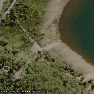
Learn how to get on Great Lake. Uncover great paddling access points, boat ramps, and all the facilities you need for an unforgettable day on the water. Some locations shown may border or include private property. Always check property boundaries and applicable regulations before visiting. PaddleWays's Public & Private Land layer can help you plan your access with confidence.
Paddle smarter with real-time insights
Whether you're en route and conditions shift or you're looking for the best spot based on current flows, we enable you to make informed decisions on the fly.








Find Places to Paddle

Over 400,000 Places to Paddle
Every user gets free access to launch points, boat ramps, and public property parcels.


Water and weather conditions (10 day forecast)
See the best times to paddle Great Lake and check the forecast before you go.
Great Lake - At Poatina Inlet
All Flow Stations
Paddling near Great Lake
South Esk River
River Tamar
Tamar River
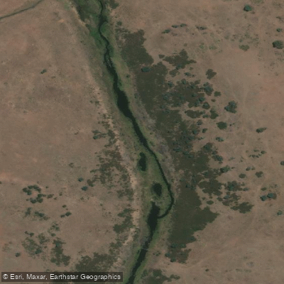
Macquarie River
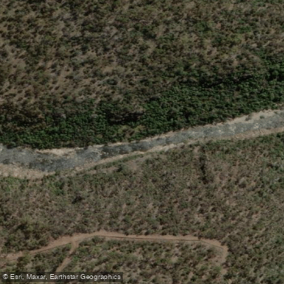
North Esk River
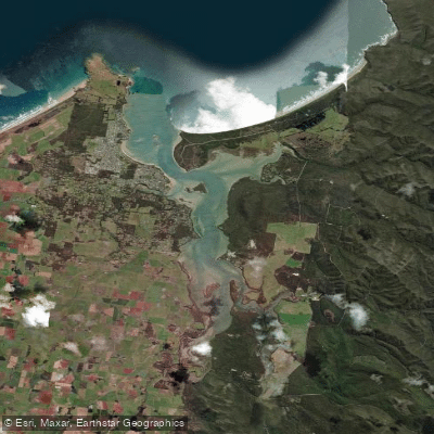
Port Sorell
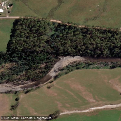
Mersey River
Pipers River
St Patricks River
Explore Tasmania waters
Top paddling waters
No waters available right now.
Popular Cities
Loading popular cities...
Explore near Great Lake

Smarter Paddling Starts in the App.
Paddleways gives you everything you need to plan smarter, paddle better, and own every trip from first launch to takeout.