St Patricks River
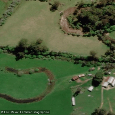
St Patricks River
- Boat Ramps
- 0
- Access Points
- 0
- Campsites
- 1
The St. Patrick's River in northern Tasmania offers a demanding whitewater run that connects with the North Esk River near Launceston. The standard trip puts in at Nunamara and runs approximately 11 km on the St. Patrick's River before continuing another 11 km on the North Esk River to the exit point at White Hills, totalling around 22 km. The full journey typically takes 6 to 7 hours of paddling.
The river carries an average gradient of around 14 m/km, with the North Esk section averaging 12 m/km. The peak gradient reaches approximately 20 m/km around the area known as "the High Spur" (grid reference Eg 265 117). The overall difficulty is graded 3 to 4, though conditions can push that rating significantly higher in flood.
A notable feature is the "Big Bend," a steep, narrow gorge that takes roughly an hour to paddle without incident. The initial rapid is S-shaped, running left to right, with inspection possible on the right. The river then drops rapidly through large boulders before presenting two waterfalls within the next 300 metres. These waterfalls become particularly challenging at high water levels — notably at 5.2 metres on the Corra Linn Bridge gauge — and can be inspected via a difficult bush approach on the left. The first waterfall is runnable in the centre, the second on the left. Following the waterfalls is approximately 1 km of continuous grade 3 whitewater. Walkouts through the Big Bend gorge are limited and difficult, confined to the left bank.
The St. Patrick's River requires substantial rainfall to reach a paddleable level, typically needing 2 to 3 days of continuous heavy rain. The river rises and falls quickly after rain, in part due to extensive logging of the upper catchment. This rapid response means timing is critical, and paddlers should monitor conditions carefully. The combination of the St. Patrick's and North Esk sections is considered one of the more popular paddling options around Launceston, partly because the South Esk and North Esk systems can flood at different times, giving local paddlers multiple options. The lower North Esk section has been paddled across a wide range of water levels, from near-flood to very low flows.
Water access, boat ramps & amenities
Learn how to get on St Patricks River. Uncover great paddling access points, boat ramps, and all the facilities you need for an unforgettable day on the water. Some locations shown may border or include private property. Always check property boundaries and applicable regulations before visiting. PaddleWays's Public & Private Land layer can help you plan your access with confidence.
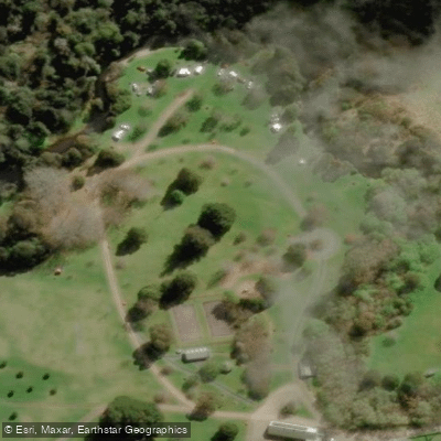
Paddle smarter with real-time insights
Whether you're en route and conditions shift or you're looking for the best spot based on current flows, we enable you to make informed decisions on the fly.








Find Places to Paddle

Over 400,000 Places to Paddle
Every user gets free access to launch points, boat ramps, and public property parcels.


Water and weather conditions (10 day forecast)
See the best times to paddle St Patricks River and check the forecast before you go.
No forecast data available.
Paddling near St Patricks River
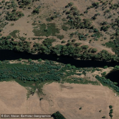
South Esk River
River Tamar
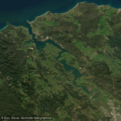
Tamar River
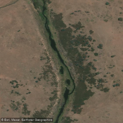
Macquarie River
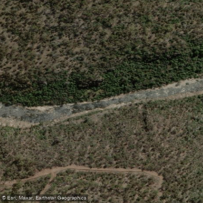
North Esk River
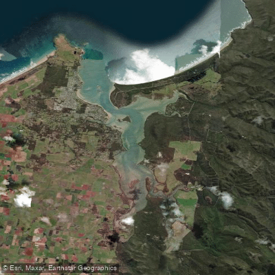
Port Sorell
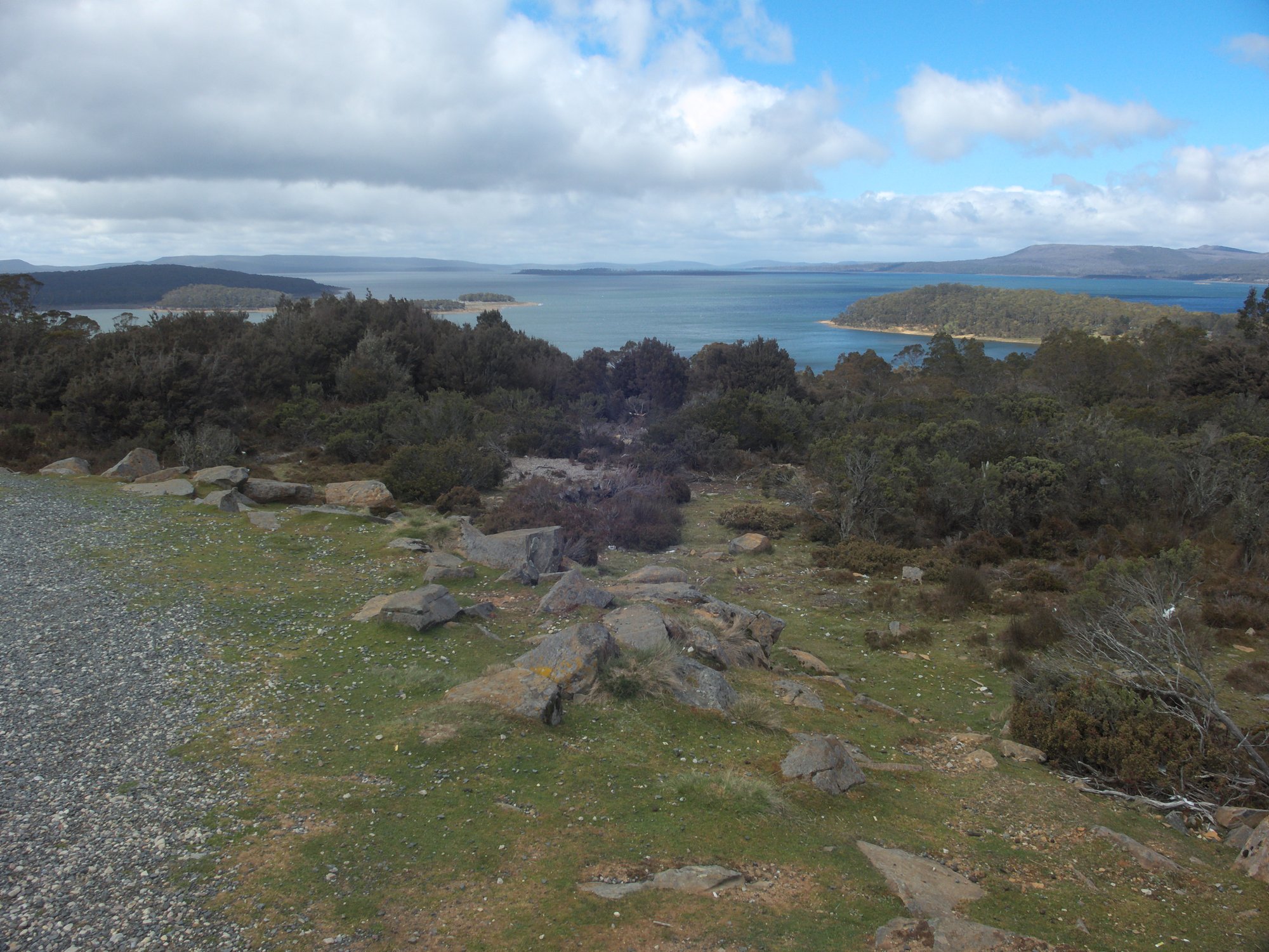
Great Lake
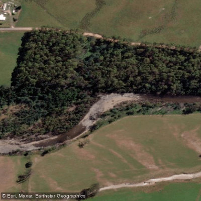
Mersey River
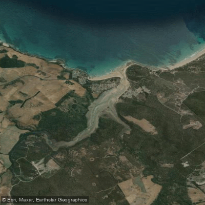
Pipers River
Explore Tasmania waters
Top paddling waters
No waters available right now.
Popular Cities
Loading popular cities...
Explore near St Patricks River
Access points
Nearby waters
More in Tasmania

Smarter Paddling Starts in the App.
Paddleways gives you everything you need to plan smarter, paddle better, and own every trip from first launch to takeout.