North Esk River
North Esk River
- Boat Ramps
- 0
- Access Points
- 1
- Campsites
- 1
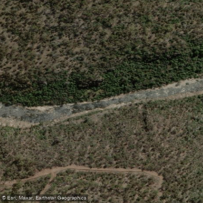
The North Esk River arises from the Ben Lomond range in northern Tasmania and flows through forested valleys, open farmland, and the suburbs of Launceston before joining the Tamar River. The river winds through a combination of forest and agricultural land featuring considerable willow growth along the banks, particularly in the lower sections. It is one of the more popular paddling destinations in the Launceston area, partly because it can come into flood at different times than the nearby South Esk, giving local paddlers more frequent opportunities on the water.
There are three main paddling trips on the North Esk, ranging from 6 to 17 kilometres, and a longer 22-kilometre option beginning from the St. Patrick's River at Nunamara. The upper reaches near Blessington are grade 1 and have been cleared of willows, but can only be paddled in flood conditions, offering 16 kilometres of continuous grade 3 to 4 whitewater. The middle section from White Hills to Corra Linn is the most reliably paddled stretch, typically runnable between June and October, with an average gradient of 8 m/km and a peak gradient of 50 m/km around "the Big Bend." The ideal gauge reading for this section is around 4.5 metres, measured from a track on the southern side of the Corra Linn Bridge. The river has been paddled at heights up to 6.5 metres in extreme flood, but this constitutes very big water.
The lower North Esk, a 6-kilometre trip, is described as the most popular grade 3-plus river trip in Tasmania. It begins with grade 1 to 2 rapids for the first 2 kilometres before entering a gorge with frequent grade 3 rapids bearing names such as "Zig-zag," "Bastard," "Horseshoe Falls," and "Diagonal Stopper." These lead to the 5-metre "First and Second Drops," which are generally tackled only by expert paddlers. This section should only be attempted by competent paddlers, preferably with local guides. Below Corra Linn, the river is grade 1 but heavily overgrown with willows and prone to log jams, particularly on two right-hand bends where flow can push through willows at higher levels.
The river rises and falls quickly following rain, a characteristic attributed in part to extensive logging in the upper catchment. Paddlers should monitor water levels carefully and be aware that conditions can change rapidly.
Water access, boat ramps & amenities
Learn how to get on North Esk River. Uncover great paddling access points, boat ramps, and all the facilities you need for an unforgettable day on the water. Some locations shown may border or include private property. Always check property boundaries and applicable regulations before visiting. PaddleWays's Public & Private Land layer can help you plan your access with confidence.
Paddle smarter with real-time insights
Whether you're en route and conditions shift or you're looking for the best spot based on current flows, we enable you to make informed decisions on the fly.








Find Places to Paddle

Over 400,000 Places to Paddle
Every user gets free access to launch points, boat ramps, and public property parcels.


Water and weather conditions (10 day forecast)
See the best times to paddle North Esk River and check the forecast before you go.
North Esk(76) [North Esk River At Ballroom]
All Flow Stations
Paddling near North Esk River
South Esk River
River Tamar
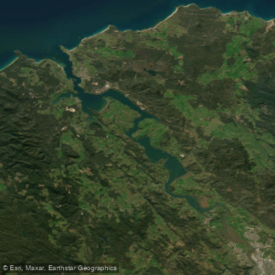
Tamar River
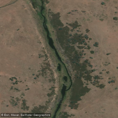
Macquarie River
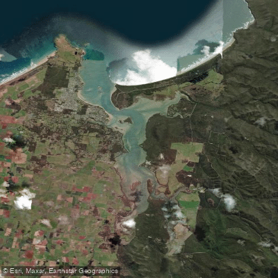
Port Sorell
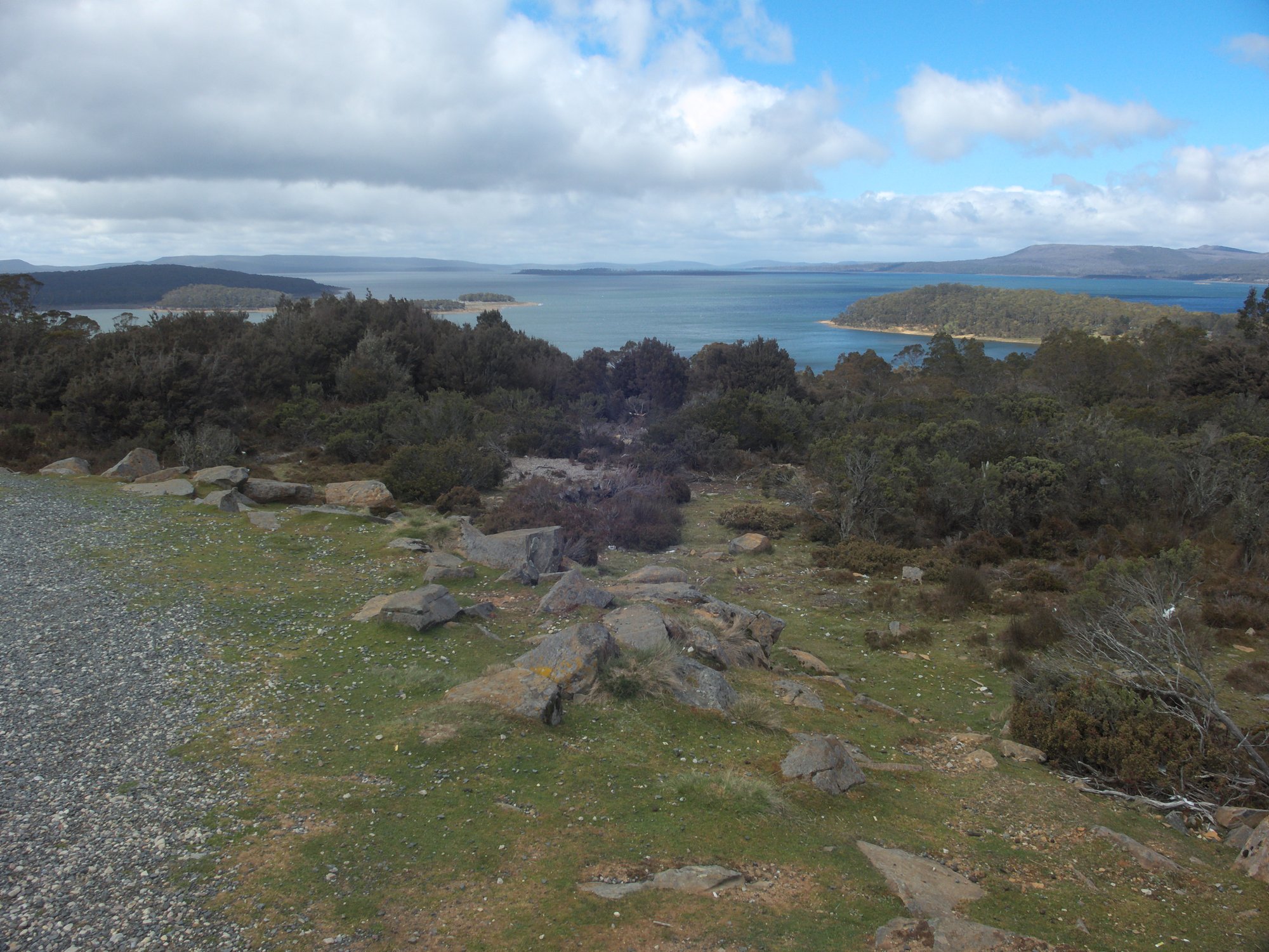
Great Lake
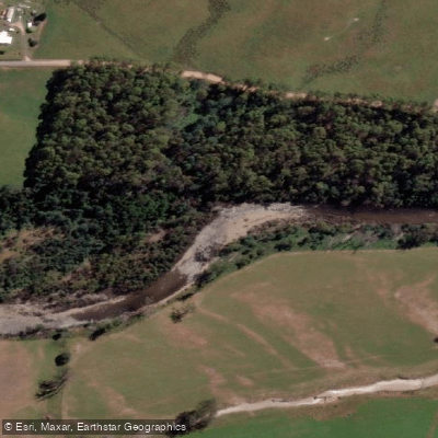
Mersey River
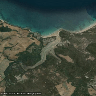
Pipers River
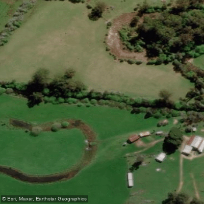
St Patricks River
Explore Tasmania waters
Top paddling waters
No waters available right now.
Popular Cities
Loading popular cities...
Explore near North Esk River

Smarter Paddling Starts in the App.
Paddleways gives you everything you need to plan smarter, paddle better, and own every trip from first launch to takeout.