Dry Creek
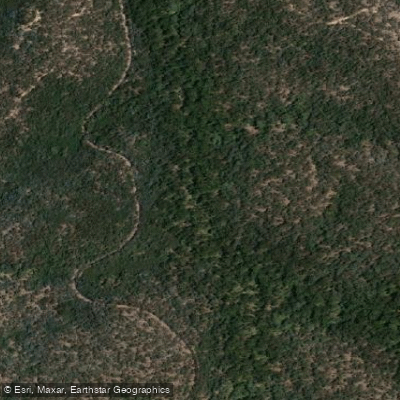
Dry Creek
- Boat Ramps
- 0
- Access Points
- 0
- Campsites
- 0
Dry Creek is a small settlement and campsite on the Glenelg River, situated just across the South Australian border from Victoria, approximately 3 kilometres downstream from the Princess Margaret Rose Caves. It marks the point where paddlers leave the Lower Glenelg National Park and enter South Australia. The creek itself is a narrow gully that runs down to the Glenelg River between limestone cliffs, with white cliffs visible from the water as paddlers approach or depart.
The area is characterised by a small collection of river shacks set back from the bank, with a free campground located behind them beneath red gums. This makes Dry Creek a practical overnight stop for paddlers travelling the Glenelg River. The campground is free to use, though paddlers should be aware that land along the river in this section may be privately owned, and permission may be required before camping on riverbank land outside designated areas.
Tidal influence is a factor on this stretch of the Glenelg River. The run from Dry Creek to Nelson — approximately 9.5 kilometres — can be assisted by an outgoing tide, which is worth timing when planning departure. Nelson, the nearest downstream town, serves as a natural endpoint for this section of the river.
Upstream, the paddle from Pattersons Camp to Dry Creek covers roughly 10.5 kilometres and passes limestone cliffs that reflect in the still water, particularly in the morning light. Donovan's Landing, located in this general section of the river, provides a launch site with toilet facilities.
Overall, Dry Creek functions primarily as a waypoint and overnight stop within a multi-day Glenelg River paddle rather than as a destination in its own right. The surrounding landscape of limestone cliffs, red gums, and tidal river character defines the paddling experience through this section.
Water access, boat ramps & amenities
Learn how to get on Dry Creek. Uncover great paddling access points, boat ramps, and all the facilities you need for an unforgettable day on the water. Some locations shown may border or include private property. Always check property boundaries and applicable regulations before visiting. PaddleWays's Public & Private Land layer can help you plan your access with confidence.
Paddle smarter with real-time insights
Whether you're en route and conditions shift or you're looking for the best spot based on current flows, we enable you to make informed decisions on the fly.








Find Places to Paddle

Over 400,000 Places to Paddle
Every user gets free access to launch points, boat ramps, and public property parcels.


Water and weather conditions (10 day forecast)
See the best times to paddle Dry Creek and check the forecast before you go.
No forecast data available.
Paddling near Dry Creek
Yarra River
Maribyrnong River

Port Phillip Bay

Werribee River
Kororoit Creek

Port Phillip
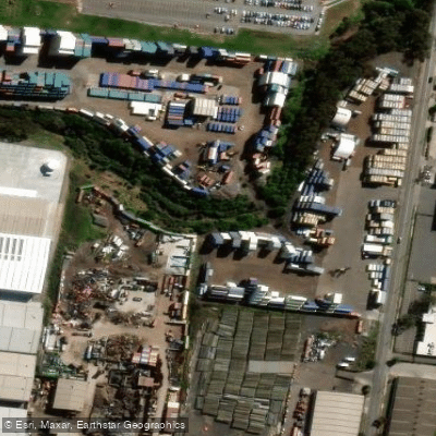
Stony Creek
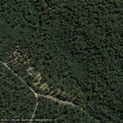
Murrindindi River
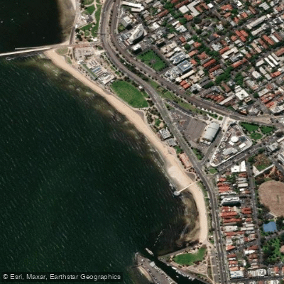
St Kilda Beach

Campaspe River
Explore Victoria waters
Top paddling waters
No waters available right now.
Popular Cities
Loading popular cities...
Explore near Dry Creek

Smarter Paddling Starts in the App.
Paddleways gives you everything you need to plan smarter, paddle better, and own every trip from first launch to takeout.