Lake Wartook
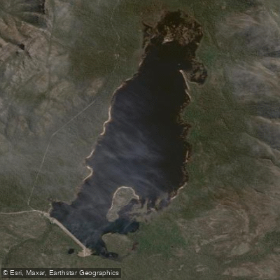
Lake Wartook
- Boat Ramps
- 2
- Access Points
- 0
- Campsites
- 0
Lake Wartook sits within the Grampians National Park in Victoria's western district, roughly 30 minutes from Halls Gap and approximately three hours from Melbourne via Ararat. The lake is formed on the MacKenzie River and holds the distinction of being the oldest irrigation storage in Australia. It serves as the primary water supply for Horsham and Natimuk, as well as Supply System 6 of the Wimmera Mallee Pipeline, which has direct implications for permitted activities on the water.
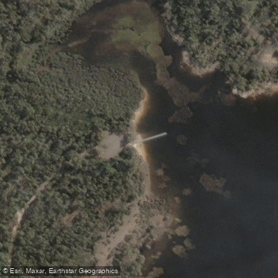
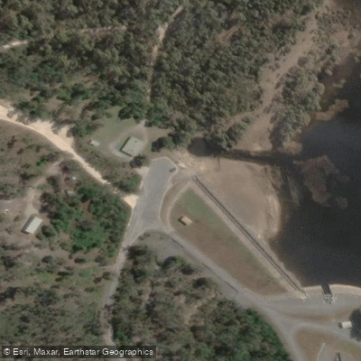
Paddling, sailing, and motorised boats are all permitted, though a strict speed limit applies — either 5 or 8 knots depending on the authority, so paddlers should confirm the current limit with GWMWater, the boating authority for the lake. Motors up to 10 hp are permitted. Swimming is not allowed. Dogs are not permitted at the lake, and campfires are prohibited. A boat ramp is located near the dam wall and is suitable for vessels up to 5 metres when the lake is at capacity; access is via a gravel road.
The lake is large and surrounded by the sandstone ranges of the Grampians. The water is generally clear for most of the year with a slight tannin stain from drowned timber. Submerged tree stumps are a genuine hazard, particularly when water levels are low, and paddlers should exercise caution throughout the lake. A small island called Bear Island sits just east of the centre of the lake. The eastern side is shallower with extensive weed beds, while the area near the dam wall is considerably deeper. Bank access is limited in many areas due to dense vegetation reaching the water's edge, though a rough track along the western side provides a few access points.
The lake is popular for trout fishing — both rainbow and brown trout are present — as well as redfin perch. Fishing activity, including boats trolling lures, is common and worth accounting for when planning a paddle. Nearby facilities include a picnic area at the dam wall and a campground approximately 5 kilometres from the lake with pit toilets. Reeds Lookout offers elevated views over the lake for those exploring the surrounding area on foot.
Water access, boat ramps & amenities
Learn how to get on Lake Wartook. Uncover great paddling access points, boat ramps, and all the facilities you need for an unforgettable day on the water. Some locations shown may border or include private property. Always check property boundaries and applicable regulations before visiting. PaddleWays's Public & Private Land layer can help you plan your access with confidence.
Paddle smarter with real-time insights
Whether you're en route and conditions shift or you're looking for the best spot based on current flows, we enable you to make informed decisions on the fly.








Find Places to Paddle

Over 400,000 Places to Paddle
Every user gets free access to launch points, boat ramps, and public property parcels.


Water and weather conditions (10 day forecast)
See the best times to paddle Lake Wartook and check the forecast before you go.
Wartook Res (Hg)
All Flow Stations
Paddling near Lake Wartook
Woady Yaloak River

Werribee River

Port Phillip Bay
Moorabool River
Leigh River

Port Phillip
Loddon River
Lake Burrumbeet
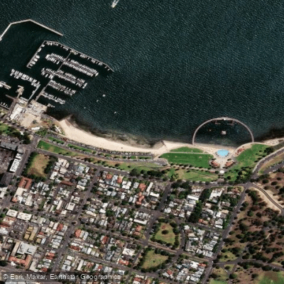
Eastern Beach

Campaspe River
Explore Victoria waters
Top paddling waters
No waters available right now.
Popular Cities
Loading popular cities...
Explore near Lake Wartook

Smarter Paddling Starts in the App.
Paddleways gives you everything you need to plan smarter, paddle better, and own every trip from first launch to takeout.