Taponga River
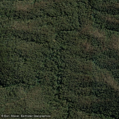
Taponga River
- Boat Ramps
- 0
- Access Points
- 0
- Campsites
- 2
The Taponga River is a small river originating from the Torbreck Hills and Mt Torbreck, eventually flowing into the Big River just above the Big River bridge. The river is characterized by moving water with a mix of grade 1 rapids interspersed with sections of tree-lined banks, giving the paddle a pleasant, natural feel.
Access to the river is described as difficult overall. The most practical put-in is from the Big River road, paddling downstream to the confluence with the Big River. Those wishing to start from a higher point on the river can access it via Gilettes Track, followed by a short hike through the bush down to the water. The take-out is at the confluence with the Big River.
The recommended section beginning from the Big River road starts with a single grade 2 rapid, after which the character of the river settles into predominantly grade 1 moving water. The combination of small rapids and tree-lined banks makes for a varied paddle on what is otherwise a compact waterway.
Timing is an important consideration for this river. Paddling is best undertaken after local rainfall, and conditions are considered suitable when the Big River gauge is reading above 1.1 metres. Given the river's small size and dependence on rainfall runoff, flows can be expected to be unreliable during dry periods.
Water access, boat ramps & amenities
Learn how to get on Taponga River. Uncover great paddling access points, boat ramps, and all the facilities you need for an unforgettable day on the water. Some locations shown may border or include private property. Always check property boundaries and applicable regulations before visiting. PaddleWays's Public & Private Land layer can help you plan your access with confidence.
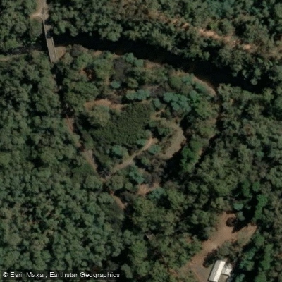
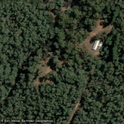
Paddle smarter with real-time insights
Whether you're en route and conditions shift or you're looking for the best spot based on current flows, we enable you to make informed decisions on the fly.








Find Places to Paddle

Over 400,000 Places to Paddle
Every user gets free access to launch points, boat ramps, and public property parcels.


Water and weather conditions (10 day forecast)
See the best times to paddle Taponga River and check the forecast before you go.
Big River @ Jamieson
All Flow Stations
Paddling near Taponga River
Yarra River
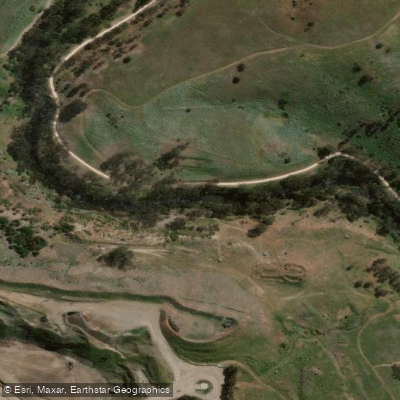
Maribyrnong River

Port Phillip Bay

Werribee River
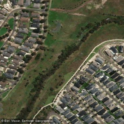
Kororoit Creek

Port Phillip
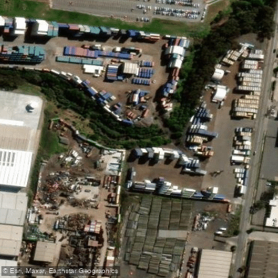
Stony Creek
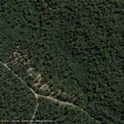
Murrindindi River
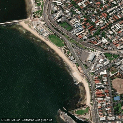
St Kilda Beach

Campaspe River
Explore Victoria waters
Top paddling waters
No waters available right now.
Popular Cities
Loading popular cities...
Explore near Taponga River

Smarter Paddling Starts in the App.
Paddleways gives you everything you need to plan smarter, paddle better, and own every trip from first launch to takeout.