Denmark River
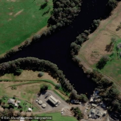
Denmark River
- Boat Ramps
- 0
- Access Points
- 0
- Campsites
- 0
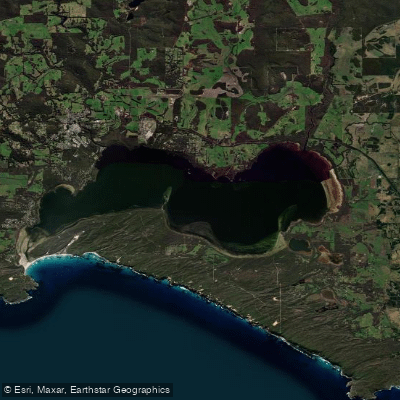
The Denmark River flows through the south coast of Western Australia, emptying into Wilson Inlet just south of the town of Denmark. The river is a tidal waterway in its lower reaches, accessible year-round, and connects to the broader Wilson Inlet system, which is a seasonally closed estuary fed by both the Denmark River and the Hay River. The inlet is separated from the Southern Ocean by a sandbar that is manually breached each year to allow the inlet to discharge.
A well-established 9-kilometre loop paddle trail begins at the Denmark River mouth and heads upstream, with riverbanks lined with tall karri trees and grassy banks suitable for stopping and picnicking. Paddlers can extend their trip by venturing out into Wilson Inlet, which offers numerous secluded bays to explore. The river is calm and slow-moving, making it accessible to beginners as well as experienced paddlers. Early morning paddling is particularly recommended for quieter conditions and birdwatching opportunities. Wildlife commonly observed in the area includes pelicans, black swans, and dolphins in the inlet.
The primary access and launch point is the Denmark Rivermouth Caravan Park, located at the corner of Hollings Road and Inlet Drive, Denmark WA 6333, where paddlers can launch directly onto the river or inlet without the need for transport or trailers. Additional launch points in the area include east of the traffic bridge on the Denmark River, Poddy Shot on Minsterly Road, Crusoe Beach, and Boat Harbour approximately 25 kilometres west of Denmark. Kayak, canoe, stand-up paddleboard, and paddle boat hire is available at the Denmark Rivermouth Caravan Park, with safety equipment including life vests provided.
The Denmark-Nornalup Heritage Trail follows the path of a former railway line connecting Denmark and Nornalup, with much of the trail running alongside the Denmark River, making it a recognised canoe route through historically significant country. The northern side of Wilson Inlet can be accessed via this trail, which runs 6.5 kilometres to the mouth of the Denmark River, passing Crusoe Beach at the eastern end. Paddlers should be aware that the Southern Ocean near the river mouth is subject to king waves, and relevant safety advice should be followed for any paddling near the ocean entrance.
Water access, boat ramps & amenities
Learn how to get on Denmark River. Uncover great paddling access points, boat ramps, and all the facilities you need for an unforgettable day on the water. Some locations shown may border or include private property. Always check property boundaries and applicable regulations before visiting. PaddleWays's Public & Private Land layer can help you plan your access with confidence.
Paddle smarter with real-time insights
Whether you're en route and conditions shift or you're looking for the best spot based on current flows, we enable you to make informed decisions on the fly.







Western Australia licenses and regulations

Find Places to Paddle

Over 400,000 Places to Paddle
Every user gets free access to launch points, boat ramps, and public property parcels.


Water and weather conditions (10 day forecast)
See the best times to paddle Denmark River and check the forecast before you go.
Denmark River - Denmark Ag College
All Flow Stations
Paddling near Denmark River
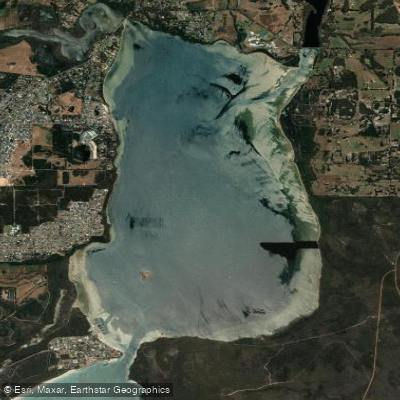
Oyster Harbour
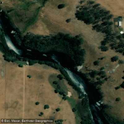
King River
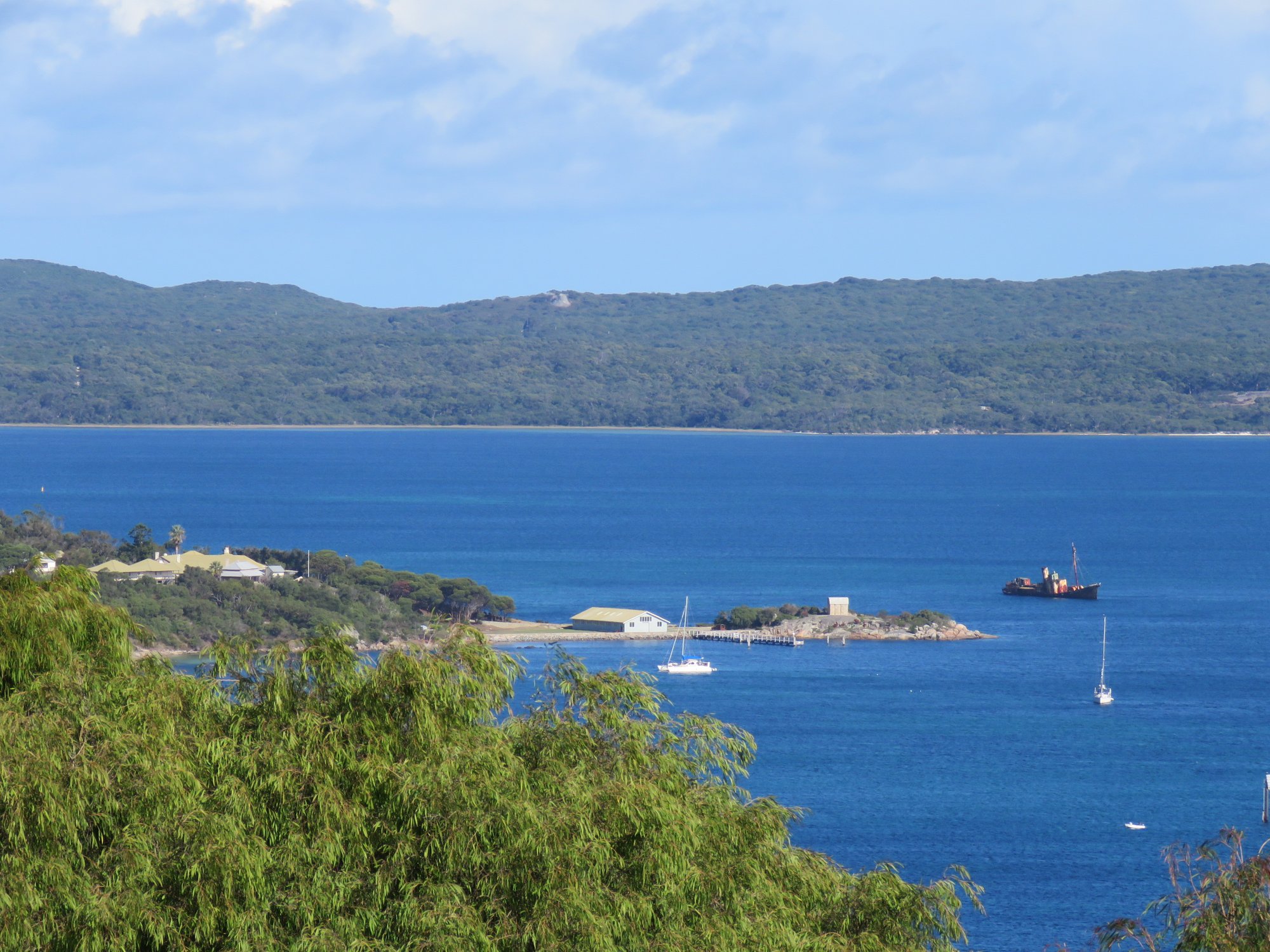
Princess Royal Harbour
Kalgan River
Wilson Inlet
Middleton Beach
Hay River
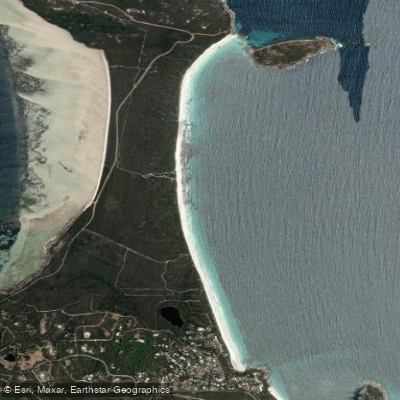
Goode Beach
Waychinicup River
Explore Western Australia waters
Top paddling waters
No waters available right now.
Popular Cities
Loading popular cities...
Explore near Denmark River
Nearby waters
More in Western Australia

Smarter Paddling Starts in the App.
Paddleways gives you everything you need to plan smarter, paddle better, and own every trip from first launch to takeout.