Wilson Inlet
Wilson Inlet
- Boat Ramps
- 0
- Access Points
- 0
- Campsites
- 0
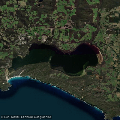
Wilson Inlet is a shallow, seasonally closed estuary located on the coast of Western Australia's Great Southern region, approximately two kilometres south-east of the town of Denmark and about a five-hour drive south of Perth. The inlet covers 48 square kilometres, stretches 14 kilometres from east to west, and reaches up to 4 kilometres in width. Its average depth is just 1.8 metres, with a maximum depth of 5 metres, making it a calm and manageable environment for paddlers of most skill levels. The inlet is divided into eastern and western basins and is fed primarily by the Denmark River and the Hay River, along with smaller tributaries including the Sleeman River, Little River, and Cuppup Creek.
The inlet is a wave-dominated estuary with a mouth approximately 100 metres wide. A sandbar blocks the opening from roughly late January through August, after which it is manually breached each year. This seasonal closure means the inlet is generally sheltered and calm for much of the paddling season. The estuary sits on a narrow coastal plain between granite hills to the north and west and coastal dunes to the south, with the Nullaki Peninsula rising prominently on the southern shore.
A convenient launch point is the Denmark Rivermouth Caravan Park at the corner of Hollings Road and Inlet Drive, where kayaks, paddle boards, and paddle boats are available for hire along with safety equipment including life vests. Boat ramps are also dotted around the inlet for those bringing their own craft. A dedicated water skiing area and a PWC freestyle area exist within the inlet, so paddlers should be aware of motorised vessel traffic in those zones. A speed limit of 8 knots applies in parts of the inlet, with 5-knot zones also marked on navigation guides.
The inlet supports over 240 bird species, including pelicans and black swans — the Nyoongar Aboriginal people know the inlet as Koorabup, meaning "Place of the Black Swan," while another traditional name is Marjit. The Wilson Inlet Heritage Trail runs approximately 12 kilometres along the northern shore, following the route of a historic railway line and passing Crusoe Beach. Guided sea kayak tours of the inlet are available through local operators, with trips tailored to varying ability levels. The inlet is also noted for its fish diversity, including sand whiting, King George whiting, silver trevally, and herring.
Water access, boat ramps & amenities
Learn how to get on Wilson Inlet. Uncover great paddling access points, boat ramps, and all the facilities you need for an unforgettable day on the water. Some locations shown may border or include private property. Always check property boundaries and applicable regulations before visiting. PaddleWays's Public & Private Land layer can help you plan your access with confidence.
Paddle smarter with real-time insights
Whether you're en route and conditions shift or you're looking for the best spot based on current flows, we enable you to make informed decisions on the fly.







Western Australia licenses and regulations

Find Places to Paddle

Over 400,000 Places to Paddle
Every user gets free access to launch points, boat ramps, and public property parcels.


Water and weather conditions (10 day forecast)
See the best times to paddle Wilson Inlet and check the forecast before you go.
No forecast data available.
Paddling near Wilson Inlet
Oyster Harbour
King River
Princess Royal Harbour
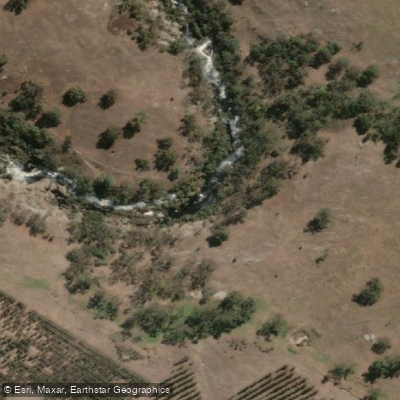
Kalgan River
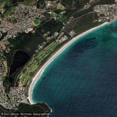
Middleton Beach
Hay River
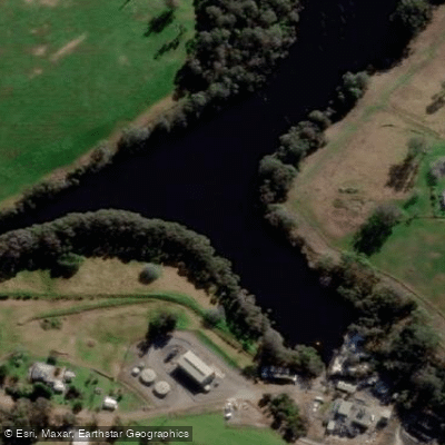
Denmark River
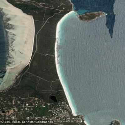
Goode Beach
Waychinicup River
Explore Western Australia waters
Top paddling waters
No waters available right now.
Popular Cities
Loading popular cities...
Explore near Wilson Inlet
Nearby waters
More in Western Australia

Smarter Paddling Starts in the App.
Paddleways gives you everything you need to plan smarter, paddle better, and own every trip from first launch to takeout.