Hay River
Hay River
- Boat Ramps
- 0
- Access Points
- 0
- Campsites
- 0
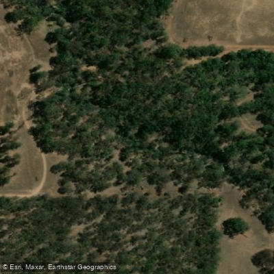
The Hay River is an 80-kilometre waterway in the Great Southern region of Western Australia, rising west of Mount Barker and flowing generally south-south-westerly through Mount Lindesay National Park before crossing the South Coast Highway and discharging into Wilson Inlet near the town of Denmark. The river is known to the traditional Noongar owners as Genulup. Its basin covers approximately 129,800 hectares, with an average discharge of around 69,400 megalitres per year.
The river flows year-round, and the water is characterised as marginally saline to brackish throughout. Tidal influence extends approximately 5 kilometres upstream from where the river meets Wilson Inlet, making the lower reaches a tidal zone that paddlers should account for when planning trips. The riparian corridor retains some natural character — roughly 42% of the riparian zone was recorded as pristine — though around 70% of the broader catchment has been cleared for agricultural use.
The lower tidal section near Denmark is accessible for upstream paddling, with at least one documented trip covering approximately 4 kilometres upstream from the estuary to a sandy beach suitable for a rest stop. The Wilson Inlet estuary, into which the Hay River flows, supports a substantial pelican population, reflecting the presence of fish in the system. The estuary's connection to the sea can be affected by sand bar formation at the inlet opening, which may influence water levels and conditions in the lower river.
Water access, boat ramps & amenities
Learn how to get on Hay River. Uncover great paddling access points, boat ramps, and all the facilities you need for an unforgettable day on the water. Some locations shown may border or include private property. Always check property boundaries and applicable regulations before visiting. PaddleWays's Public & Private Land layer can help you plan your access with confidence.
Paddle smarter with real-time insights
Whether you're en route and conditions shift or you're looking for the best spot based on current flows, we enable you to make informed decisions on the fly.







Western Australia licenses and regulations

Find Places to Paddle

Over 400,000 Places to Paddle
Every user gets free access to launch points, boat ramps, and public property parcels.


Water and weather conditions (10 day forecast)
See the best times to paddle Hay River and check the forecast before you go.
No forecast data available.
Paddling near Hay River
Oyster Harbour
King River
Princess Royal Harbour
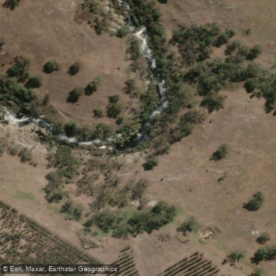
Kalgan River
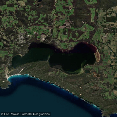
Wilson Inlet
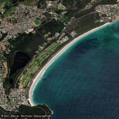
Middleton Beach
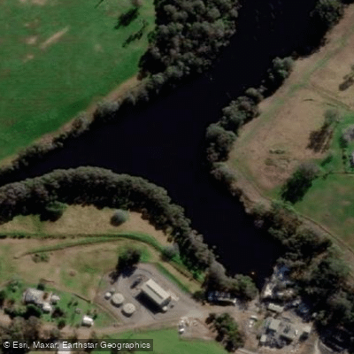
Denmark River
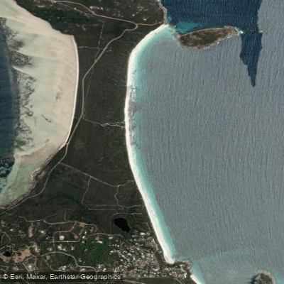
Goode Beach
Waychinicup River
Explore Western Australia waters
Top paddling waters
No waters available right now.
Popular Cities
Loading popular cities...
Explore near Hay River
Nearby waters
More in Western Australia

Smarter Paddling Starts in the App.
Paddleways gives you everything you need to plan smarter, paddle better, and own every trip from first launch to takeout.