Waychinicup River
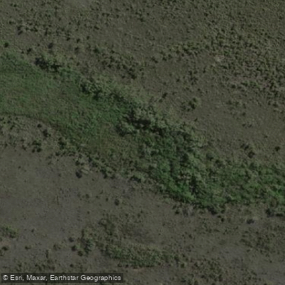
Waychinicup River
- Boat Ramps
- 0
- Access Points
- 0
- Campsites
- 1
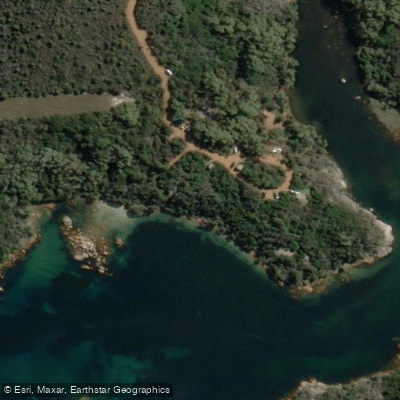
The Waychinicup River flows through Waychinicup National Park near Albany in the south of Western Australia, on country belonging to the Menang people. The river empties into Waychinicup Inlet, where the waterway is flanked by polished granite rocks that give the area a distinctive character. The inlet and surrounding estuary have been the subject of fish and invertebrate community research, reflecting the ecological significance of this coastal system.
There is no boat ramp at the site, so paddlers should be prepared to launch from the bank without formal infrastructure. A small campground is located at Waychinicup Inlet, adjacent to the river, though spaces are limited and fill quickly. No dogs or other pets are permitted anywhere within the park. All fishing in the estuary is conducted under permit, and paddlers should be aware of this regulation if they intend to combine fishing with time on the water.
The surrounding landscape supports exceptionally diverse coastal heath, including plant species found nowhere else. Spring brings extensive wildflower blooms across the park's granite slopes. The area is also notable for threatened bird species, including scrub birds, western whistlebirds, and whipbirds, which inhabit the dense vegetation bordering the waterway. Paddlers with an interest in flora and fauna will find the natural surroundings a significant draw. Contact the Albany Parks and Wildlife Office at +61 (0)8 9842 4500 for current permit requirements and campsite availability before visiting.
Water access, boat ramps & amenities
Learn how to get on Waychinicup River. Uncover great paddling access points, boat ramps, and all the facilities you need for an unforgettable day on the water. Some locations shown may border or include private property. Always check property boundaries and applicable regulations before visiting. PaddleWays's Public & Private Land layer can help you plan your access with confidence.
Paddle smarter with real-time insights
Whether you're en route and conditions shift or you're looking for the best spot based on current flows, we enable you to make informed decisions on the fly.







Western Australia licenses and regulations

Find Places to Paddle

Over 400,000 Places to Paddle
Every user gets free access to launch points, boat ramps, and public property parcels.


Water and weather conditions (10 day forecast)
See the best times to paddle Waychinicup River and check the forecast before you go.
Waychinicup River - Cheynes Beach Rd
All Flow Stations
Paddling near Waychinicup River
Oyster Harbour
King River
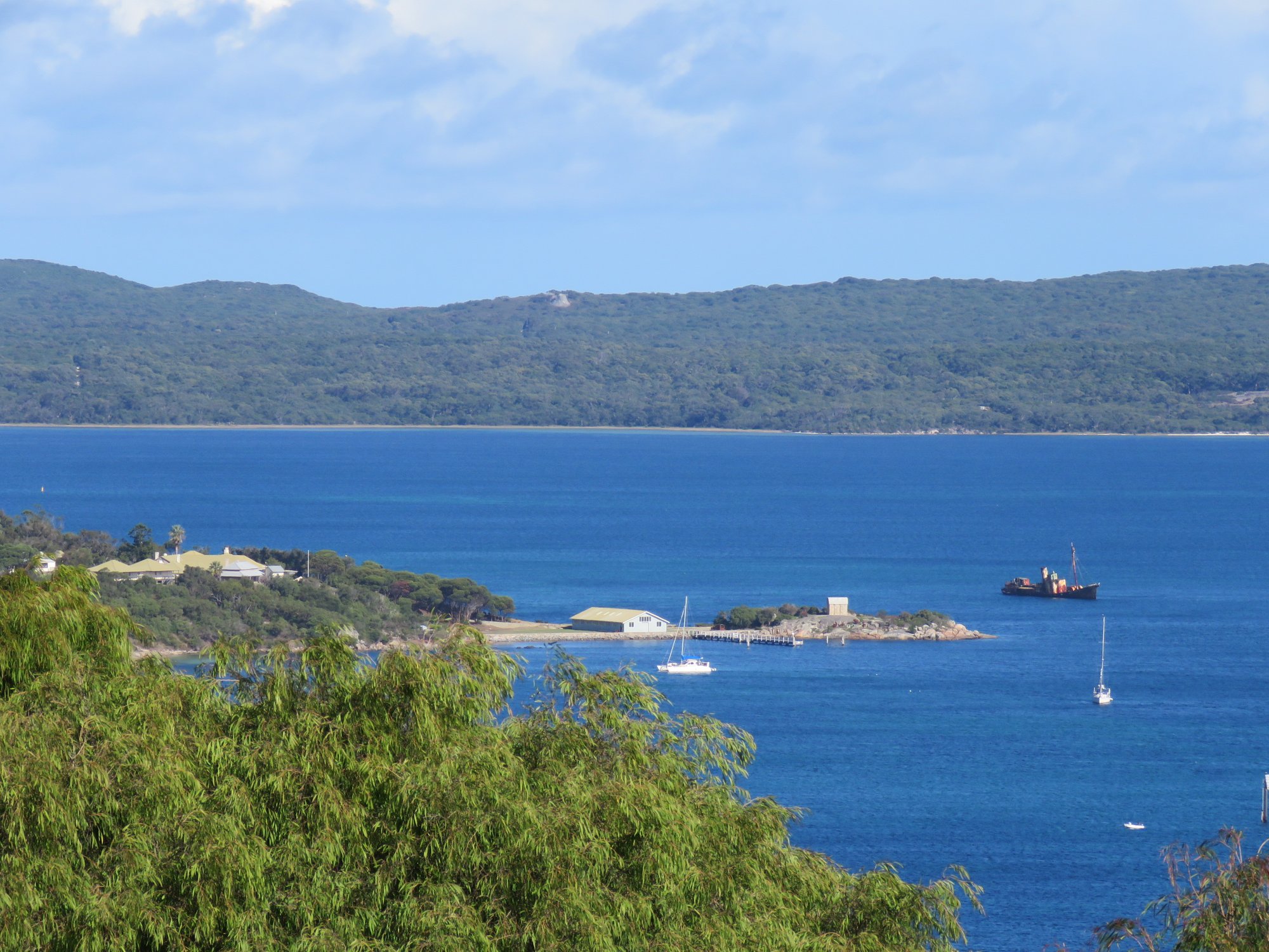
Princess Royal Harbour
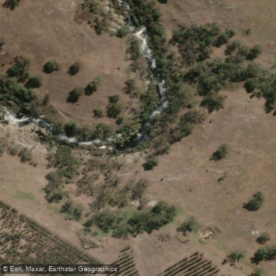
Kalgan River
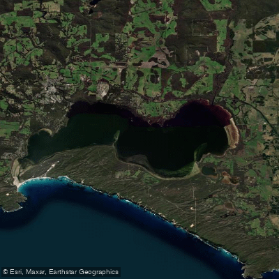
Wilson Inlet
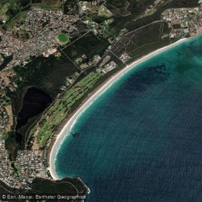
Middleton Beach
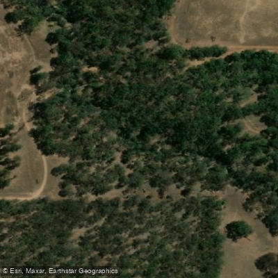
Hay River
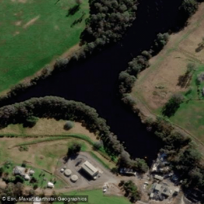
Denmark River
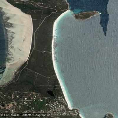
Goode Beach
Explore Western Australia waters
Top paddling waters
No waters available right now.
Popular Cities
Loading popular cities...
Explore near Waychinicup River
Access points
Nearby waters
More in Western Australia

Smarter Paddling Starts in the App.
Paddleways gives you everything you need to plan smarter, paddle better, and own every trip from first launch to takeout.