Kalgan River
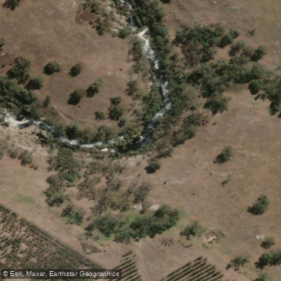
Kalgan River
- Boat Ramps
- 1
- Access Points
- 0
- Campsites
- 0
The Kalgan River flows 140 kilometres through steep hillsides of lush forest and rolling farmland near Albany, Western Australia, before reaching Oyster Harbour and ultimately Frenchman Bay. The lower reaches are tidal and open into a broad expanse of water, while the upper sections narrow and become increasingly sheltered by tall shady trees. The river's water has a notably dark, ink-like quality. The established paddle trail runs 10 kilometres one way between the Lower Kalgan Bridge and the Wheeldon Road Bridge, rated Grade S01 — a flat water route with no portage, suitable for all types of paddle craft and paddlers of all abilities. The trip typically takes two to two and a half hours one way.
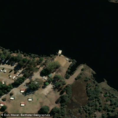
The recommended launch point is on the west side of the river at Lower Kalgan Bridge, approximately 15 kilometres from Albany Town Square via York Street, Lockyer Avenue, Ulster Road, Lower King Road, and Nanarup Road. A car park sits on the north side of the road just before the bridge. Additional launch sites are available along the 2WD-accessible road on the east bank of the southern half of the route, including at the start of the Luke Pen Walk on the east bank. The Kalgan River Chalets and Caravan Park, located on the west bank around the first bend upstream, also provides river access.
Tidal influence is significant in the lower reaches, and paddlers should plan their trip accordingly — paddling upstream against an outgoing tide means the return journey will be assisted by the flow. At low tide, channel markers help identify deeper water. The river carries a moderate level of motorboat traffic, and a designated water ski area is managed by the Albany Water Ski Club roughly 3 kilometres upstream from the Lower Kalgan Bridge. Paddlers are advised to stay close to the bank where possible.
Notable points along the route include the Water Ski Club facilities at approximately 4 kilometres and Elbow Island at around 4.5 kilometres, which is worth circumnavigating. Wildlife commonly observed includes pelicans, ducks, osprey, cormorants, thornbills, splendid and red-capped fairy wrens, grey currawong, and western yellow robin. The river is also known as productive fishing grounds for bream and mulloway. The trail is accessible year-round, with July through September noted as a good period for wildflowers along the banks.
Water access, boat ramps & amenities
Learn how to get on Kalgan River. Uncover great paddling access points, boat ramps, and all the facilities you need for an unforgettable day on the water. Some locations shown may border or include private property. Always check property boundaries and applicable regulations before visiting. PaddleWays's Public & Private Land layer can help you plan your access with confidence.
Paddle smarter with real-time insights
Whether you're en route and conditions shift or you're looking for the best spot based on current flows, we enable you to make informed decisions on the fly.







Western Australia licenses and regulations

Find Places to Paddle

Over 400,000 Places to Paddle
Every user gets free access to launch points, boat ramps, and public property parcels.


Water and weather conditions (10 day forecast)
See the best times to paddle Kalgan River and check the forecast before you go.
Kalgan River - Stevens Farm
All Flow Stations
Paddling near Kalgan River
Oyster Harbour
King River
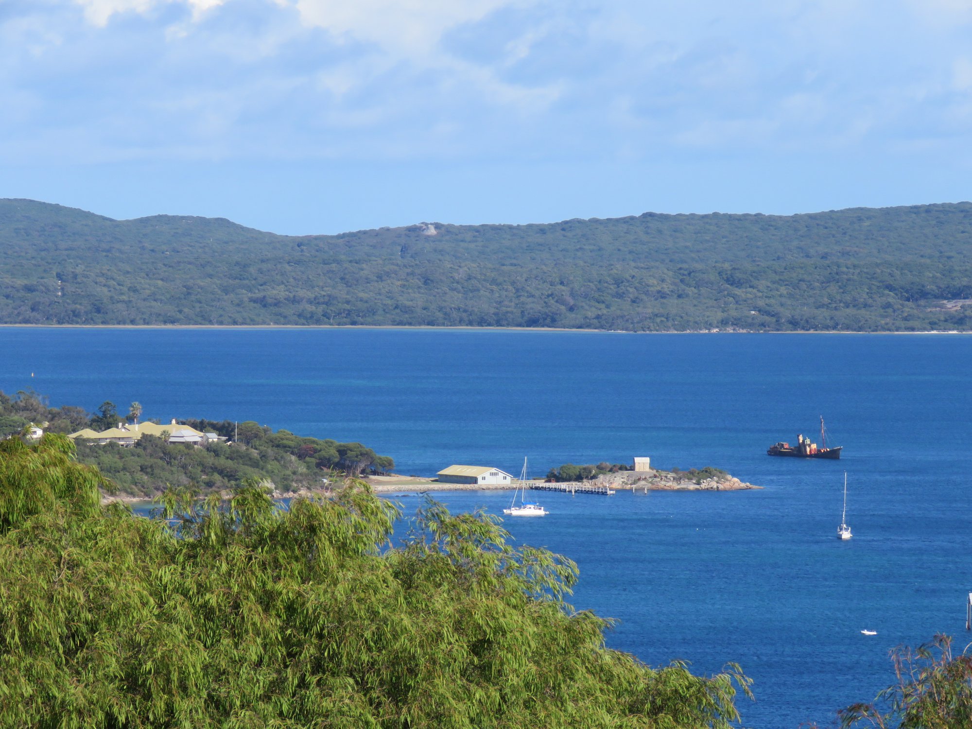
Princess Royal Harbour
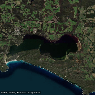
Wilson Inlet
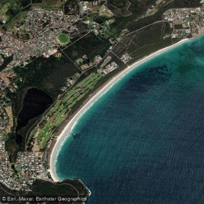
Middleton Beach
Hay River
Denmark River
Goode Beach
Waychinicup River
Explore Western Australia waters
Top paddling waters
No waters available right now.
Popular Cities
Loading popular cities...
Explore near Kalgan River
Access points
Nearby waters
More in Western Australia

Smarter Paddling Starts in the App.
Paddleways gives you everything you need to plan smarter, paddle better, and own every trip from first launch to takeout.