King River
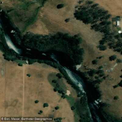
King River
- Boat Ramps
- 0
- Access Points
- 0
- Campsites
- 8
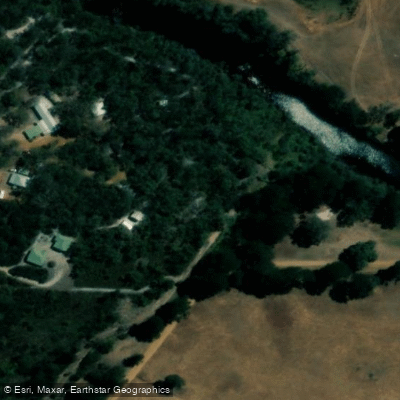
The King River in the Albany region of Western Australia flows west to east and offers a sheltered paddling experience suitable for all types of paddle craft and skill levels. The standard paddle trail runs from the Lower King Bridge upstream to approximately 2 kilometres beyond the King River Bridge at Chester Pass Road, covering a total navigable distance of roughly 9 to 10 kilometres one way before the river becomes impassable and paddlers must turn back.
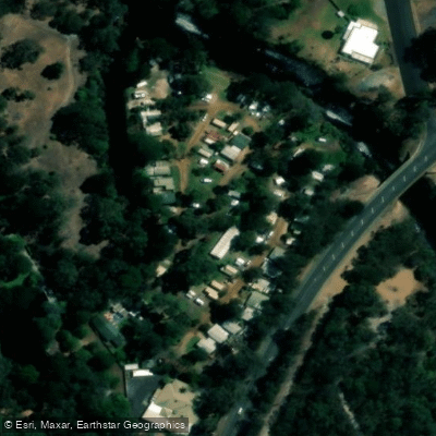
Launching from the Lower King Bridge, paddlers head upstream through a wide-open river section, staying in the channel as surrounding areas become very shallow with quicksand-like conditions. About 1 kilometre upstream, the river narrows to approximately 100 metres wide near Parker Bay and the Lower King Store on the east bank. At low tide, extensive shallows are exposed throughout this section, and water birds are commonly seen feeding in these areas. Continuing upstream another 2 kilometres, paddlers pass houses on the south bank at Norwood Estate, where a small grassed area with a launch site serves as a useful rest and picnic stop and functions as an alternative put-in point.
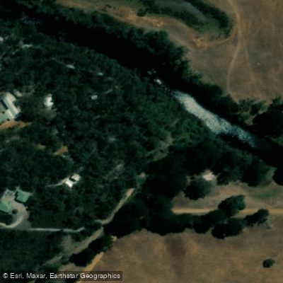
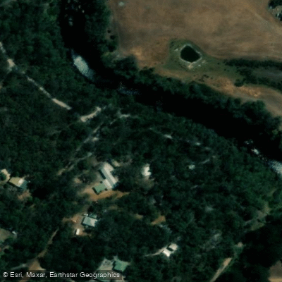
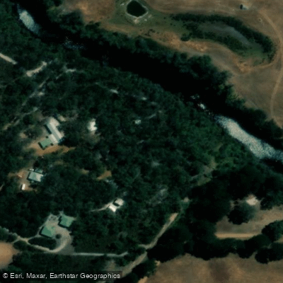
Beyond Norwood Estate, the river narrows to 30 to 50 metres wide, passing farms on both sides and a number of large granite boulders before reaching the King River Bridge at Chester Pass Road. A landing and launch site with a picnic area and public toilets is located on the west bank just before this bridge. Upstream of Chester Pass Road, the river continues to narrow further, with overhanging trees creating a more enclosed atmosphere. This upper section is particularly well protected from wind and is a practical option on blustery days.
The river corridor features rocky outcrops, high sandy banks, and farmland fringed by paperbark trees. Fishing is popular along the route, with black bream, herring, skippy, and mulloway all present. The City of Albany manages the trail and can be reached at (08) 6820 3000, with the Albany Visitor Centre located at 221 York Street, Albany WA 6330.
Water access, boat ramps & amenities
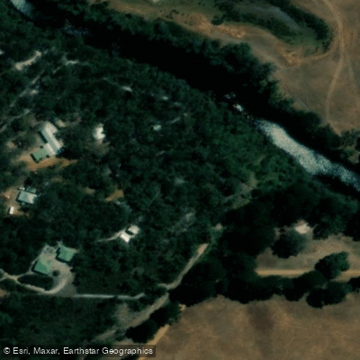
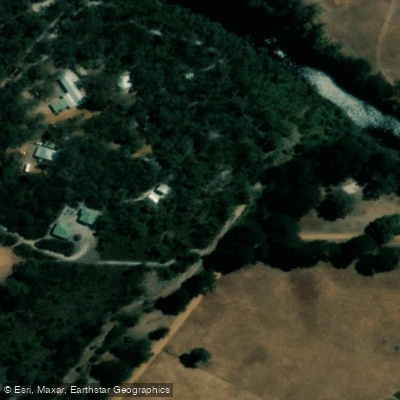
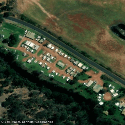
Learn how to get on King River. Uncover great paddling access points, boat ramps, and all the facilities you need for an unforgettable day on the water. Some locations shown may border or include private property. Always check property boundaries and applicable regulations before visiting. PaddleWays's Public & Private Land layer can help you plan your access with confidence.
Paddle smarter with real-time insights
Whether you're en route and conditions shift or you're looking for the best spot based on current flows, we enable you to make informed decisions on the fly.







Western Australia licenses and regulations

Find Places to Paddle

Over 400,000 Places to Paddle
Every user gets free access to launch points, boat ramps, and public property parcels.


Water and weather conditions (10 day forecast)
See the best times to paddle King River and check the forecast before you go.
No forecast data available.
Paddling near King River
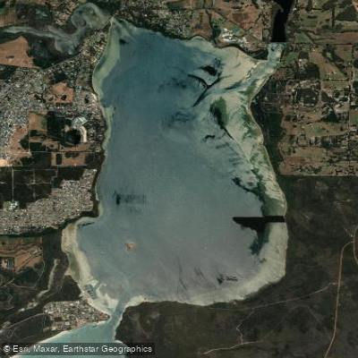
Oyster Harbour
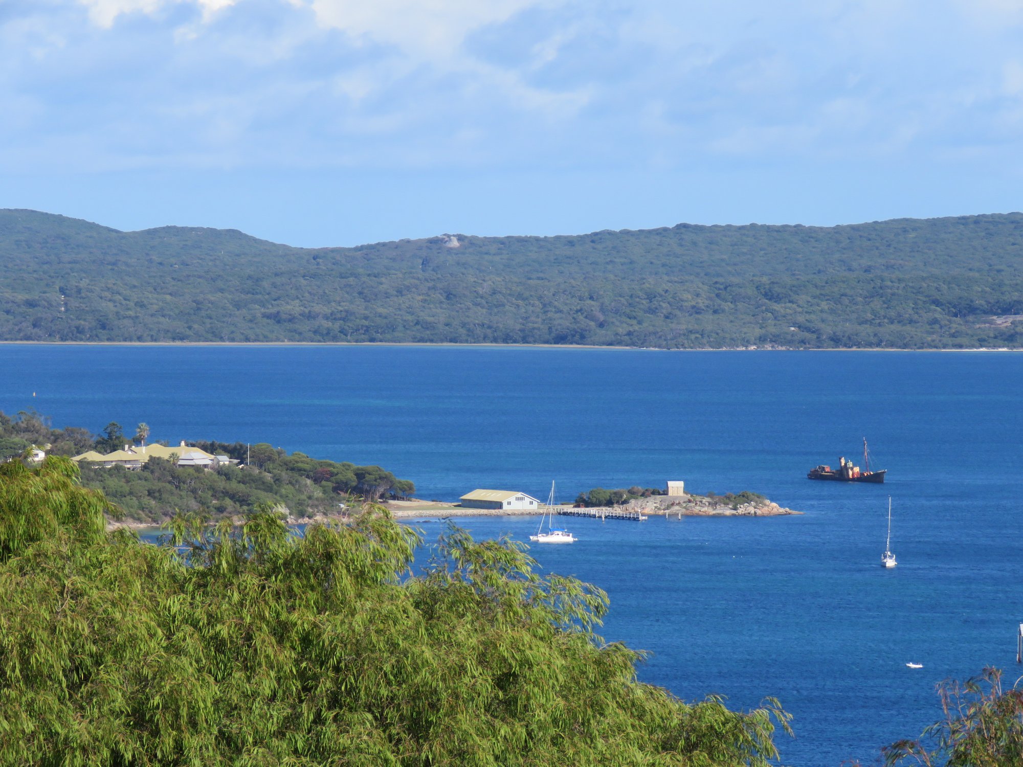
Princess Royal Harbour
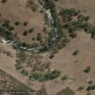
Kalgan River
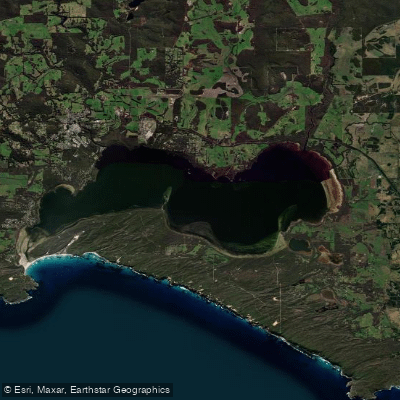
Wilson Inlet
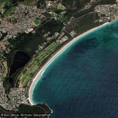
Middleton Beach
Hay River
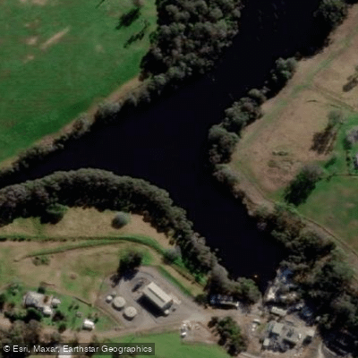
Denmark River
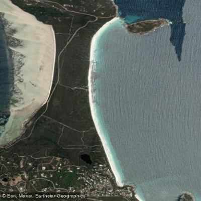
Goode Beach
Waychinicup River
Explore Western Australia waters
Top paddling waters
No waters available right now.
Popular Cities
Loading popular cities...
Explore near King River

Smarter Paddling Starts in the App.
Paddleways gives you everything you need to plan smarter, paddle better, and own every trip from first launch to takeout.