Athabasca River
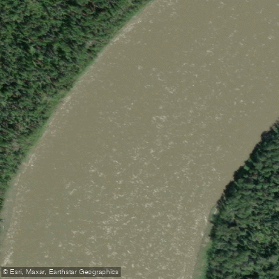
Athabasca River
- Boat Ramps
- 3
- Access Points
- 0
- Campsites
- 178
The Athabasca River is the longest river in Alberta, originating at the Columbia Icefield in Jasper National Park and flowing northeast through boreal forest before eventually draining toward the Arctic Ocean. The 168-kilometre section within Jasper National Park holds designation as a Canadian Heritage River, recognized for its natural beauty, recreational opportunities, and cultural history as a historic fur trade route used by First Nations peoples and early European explorers.
The river's character changes considerably along its length. Within and just east of Jasper National Park, the river moves through rocky mountain terrain with Class II and III rapids in some sections, making it suitable for paddlers with some whitewater experience. One documented run puts in approximately 4 kilometres above the confluence with the Chaba River, with take-out options at Athabasca Crossing, Big Bend, or Highway 93. Sections 1 and 2 of the upper river are noted as not recommended for open canoes. Further downstream, a popular guided route runs roughly 160 kilometres from Hinton to Whitecourt through forested river valley with no towns or houses along the way.
In the middle sections, a 115-kilometre paddle runs from the hamlet of Smith to the town of Athabasca, rated as an easy float with numerous islands suitable for dispersed camping. Continuing downstream, the stretch from Athabasca to Grand Rapids covers approximately 250 kilometres. Grand Rapids itself is rated Class VI+ and must be portaged. The river in this lower stretch passes through largely uninhabited wilderness within the Grand Rapids Wildland Provincial Park.
Water levels are fed by glacial meltwater in spring, producing higher and more powerful flows with greater whitewater challenge. Fall brings lower, clearer, and calmer water. Wildlife along the corridor includes elk, black bears, moose, and numerous bird species, with the river supporting 15 species of fish and 5 amphibian species. Canoe rentals are available in Jasper, and several outfitters offer guided trips ranging from day paddles to multi-day expeditions with wilderness camping. Paddlers planning trips within Jasper National Park should check with Parks Canada for current access, egress points, and any applicable regulations.
Water access, boat ramps & amenities
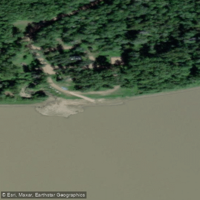
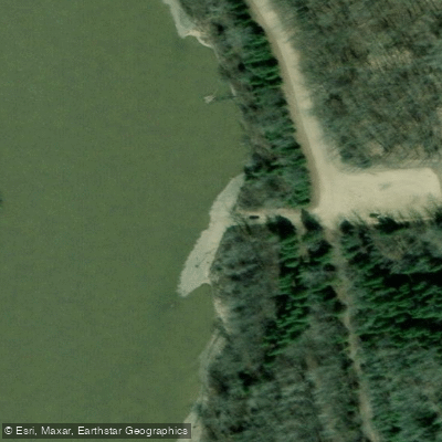
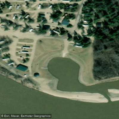
Learn how to get on Athabasca River. Uncover great paddling access points, boat ramps, and all the facilities you need for an unforgettable day on the water. Some locations shown may border or include private property. Always check property boundaries and applicable regulations before visiting. PaddleWays's Public & Private Land layer can help you plan your access with confidence.
Paddle smarter with real-time insights
Whether you're en route and conditions shift or you're looking for the best spot based on current flows, we enable you to make informed decisions on the fly.







Ab licenses and regulations
No licenses or regulations available for Ab.
Find Places to Paddle

Over 400,000 Places to Paddle
Every user gets free access to launch points, boat ramps, and public property parcels.


Water and weather conditions (10 day forecast)
See the best times to paddle Athabasca River and check the forecast before you go.
ATHABASCA RIVER NEAR JASPER
All Flow Stations
Explore Ab waters
Top paddling waters
No waters available right now.
Popular Cities
Loading popular cities...
Explore near Athabasca River
Access points
Nearby waters
More in Ab

Smarter Paddling Starts in the App.
Paddleways gives you everything you need to plan smarter, paddle better, and own every trip from first launch to takeout.