Elbow River
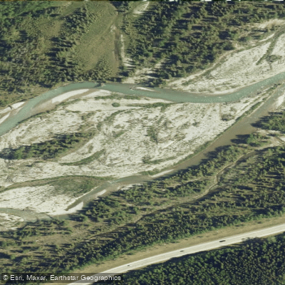
Elbow River
- Boat Ramps
- 5
- Access Points
- 0
- Campsites
- 2
The Elbow River in Alberta offers two distinct paddling experiences: a flatwater urban section through Calgary and a series of whitewater runs in Kananaskis Country to the west.
Within Calgary, the flatwater section runs from the Glenmore Reservoir downstream to the confluence with the Bow River. This stretch moves at a slow pace and is popular with inner tubers and rafters in summer, which can make it congested. Spring and early summer are the preferred times for kayakers, when water levels are higher. Access points along this urban section include the Sandy Beach Public Boat Launch, the Stanley Park Public Boat Launch, and the MacDonald Ave SE Bridge. Estimated paddle times from Sandy Beach to Stanley Park run about one hour, and from Sandy Beach to the Inglewood confluence area, two to three hours by canoe or kayak. Water levels can drop significantly below the Glenmore Dam in drier periods, and paddlers should be aware that Alberta Health Services frequently issues advisories warning against swimming, wading, or drinking the untreated Elbow River water within Calgary due to elevated fecal coliform levels. The City of Calgary recommends paddlers consider the Bow River as an alternative.
West of Calgary in Kananaskis Country, the river offers Class I through Class IV whitewater depending on the section. The Elbow Falls to Boat Launch run is roughly three kilometres with three main rapids, including a waterfall and slide and a feature called the Notch, which has an undercut that becomes a hazard at medium and lower water levels and is typically portaged. The Boat Launch to Paddy's Flat section is a small-volume Class I–II run used by the Calgary paddling community for skill-building, featuring bends, small ledges, and a steeper rapid near the end that should be scouted or portaged on river left. Solid eddy-turn and ferrying skills are expected. Further upstream, the Allen Bill to Bragg Creek section and the upper canyon sections above Elbow Falls offer more demanding whitewater. The upper Elbow begins in an open meadow valley before entering a walled canyon with boulder garden sections.
The Elbow River Launch Provincial Recreation Area on Highway 66, approximately 65 kilometres west of Calgary, provides a formal boat launch for canoes, kayaks, and paddleboards, along with pit toilets and picnic facilities. A Kananaskis Conservation Pass is required to park there. Highway 66 west of Elbow Falls is closed annually from December 1 to May 14, limiting access to the upper sections during that period.
Water access, boat ramps & amenities
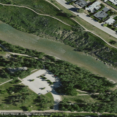
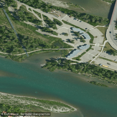
Learn how to get on Elbow River. Uncover great paddling access points, boat ramps, and all the facilities you need for an unforgettable day on the water. Some locations shown may border or include private property. Always check property boundaries and applicable regulations before visiting. PaddleWays's Public & Private Land layer can help you plan your access with confidence.
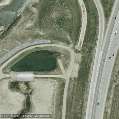
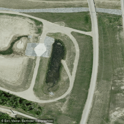
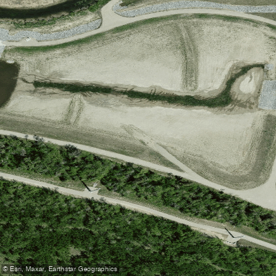
Paddle smarter with real-time insights
Whether you're en route and conditions shift or you're looking for the best spot based on current flows, we enable you to make informed decisions on the fly.







Ab licenses and regulations
No licenses or regulations available for Ab.
Find Places to Paddle

Over 400,000 Places to Paddle
Every user gets free access to launch points, boat ramps, and public property parcels.


Water and weather conditions (10 day forecast)
See the best times to paddle Elbow River and check the forecast before you go.
BOW RIVER AT CALGARY
All Flow Stations
Paddling near Elbow River
Explore Ab waters
Top paddling waters
No waters available right now.
Popular Cities
Loading popular cities...
Explore near Elbow River
Access points
Nearby waters
More in Ab

Smarter Paddling Starts in the App.
Paddleways gives you everything you need to plan smarter, paddle better, and own every trip from first launch to takeout.