Highwood River
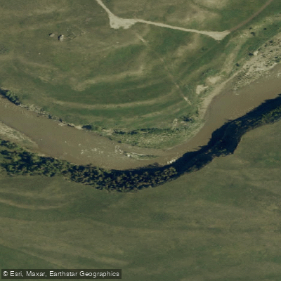
Highwood River
- Boat Ramps
- 0
- Access Points
- 0
- Campsites
- 0
The Highwood River originates in Peter Lougheed Provincial Park in the Canadian Rockies and flows east, eventually joining the Sheep River before entering the Bow River southeast of Calgary. As snowmelt charges the river in spring, it winds through canyons and produces turbulent whitewater conditions that attract paddlers of varying skill levels.
The river offers several distinct whitewater sections ranging from Class II to Class IV. Four documented routes include the Highwood Group Use Area to Eden Valley Bridge, Eden Valley Bridge to Greenford Provincial Recreation Area, Greenford Campground to Ings Creek, and a section near Aldersyde. For paddlers seeking a more accessible experience, the stretch from High River to Highway 552 has been run by novice and intermediate paddlers. That section passes under a railway bridge at roughly the halfway point, crosses under Highway 2 at approximately the three-quarter mark, and reaches Highway 552 near the take-out.
There are no kayak outfitters operating along the Highwood River itself. Paddlers needing rentals or instruction must look to Calgary-based operators. The Rocky Mountain Paddling Centre in Calgary offers courses on the Highwood ranging from introductory flatwater to advanced whitewater, as well as rescue and instructor certification.
The Highwood River Natural Area, a provincially designated natural area located approximately 20 kilometres southeast of Calgary, encompasses islands in both the Bow and Highwood Rivers. These islands provide habitat for Canada geese and great blue herons. Canoeing and kayaking are listed among the permitted activities within the natural area.
Alberta weather can change rapidly during paddling trips on this river, with storms capable of producing strong winds and whitecapped waves even on otherwise manageable stretches, so paddlers should be prepared for variable conditions.
Water access, boat ramps & amenities
Learn how to get on Highwood River. Uncover great paddling access points, boat ramps, and all the facilities you need for an unforgettable day on the water. Some locations shown may border or include private property. Always check property boundaries and applicable regulations before visiting. PaddleWays's Public & Private Land layer can help you plan your access with confidence.
Paddle smarter with real-time insights
Whether you're en route and conditions shift or you're looking for the best spot based on current flows, we enable you to make informed decisions on the fly.







Ab licenses and regulations
No licenses or regulations available for Ab.
Find Places to Paddle

Over 400,000 Places to Paddle
Every user gets free access to launch points, boat ramps, and public property parcels.


Water and weather conditions (10 day forecast)
See the best times to paddle Highwood River and check the forecast before you go.
HIGHWOOD RIVER AT DIEBEL'S RANCH
All Flow Stations
Paddling near Highwood River
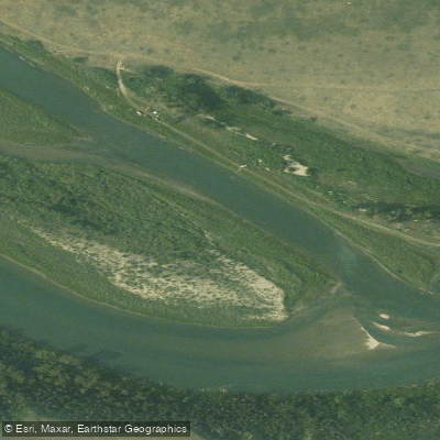
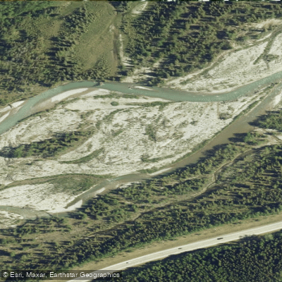
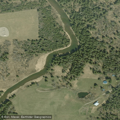
Explore Ab waters
Top paddling waters
No waters available right now.
Popular Cities
Loading popular cities...
Explore near Highwood River

Smarter Paddling Starts in the App.
Paddleways gives you everything you need to plan smarter, paddle better, and own every trip from first launch to takeout.